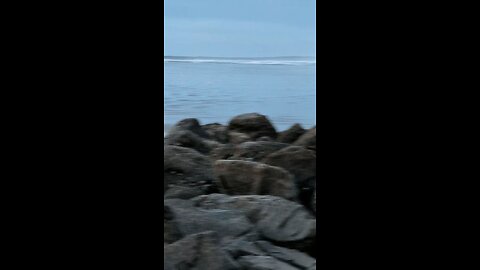
Beautiful Blues at Beverly Beach!
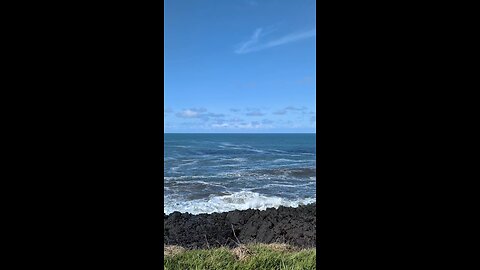
Big Blue Pacific!
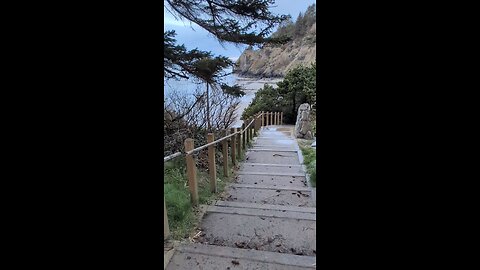
Near the Punchbowl!
Beverly Beach!
Beverly Beach Oregon!
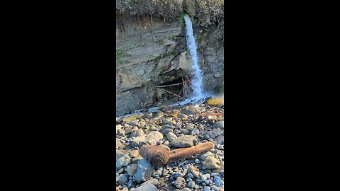
Path to the Punchbowl!
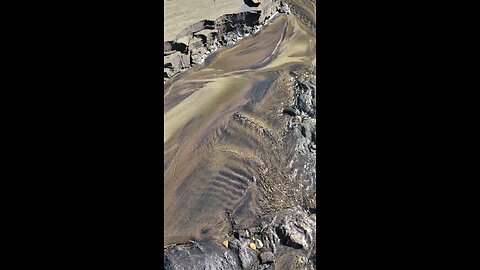
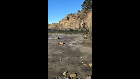
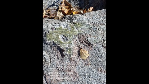
Beautiful Beverly Beach Sand Art!
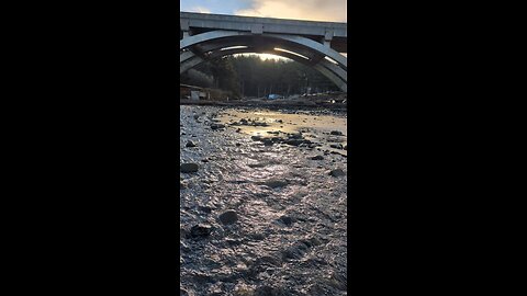
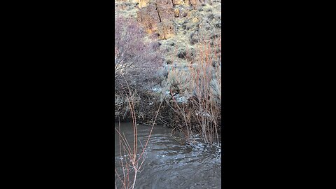
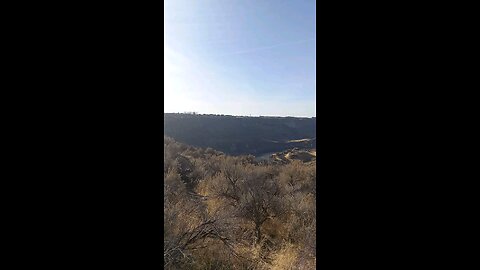
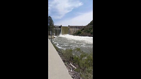
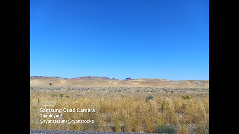
Heading home along the Columbia River!
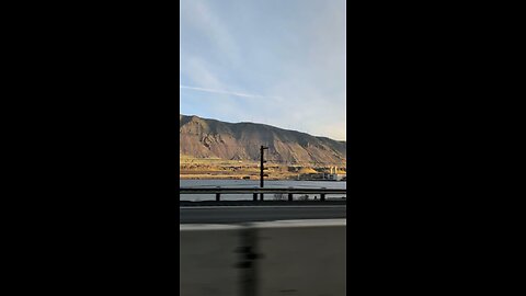
John Day Dam!
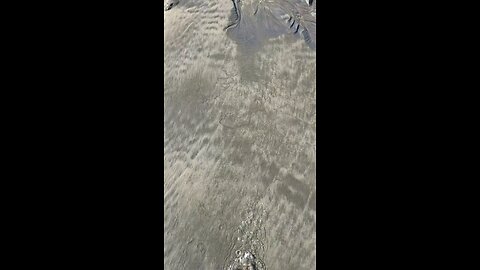
Beautiful Beverly Beach Sand Art!
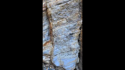
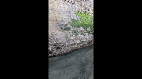
Beverly Beach Cliff Side!
Beverly Beach!
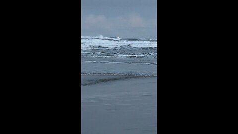
Angry Seas and a Lighthouse!
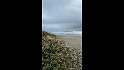
Morning tide!
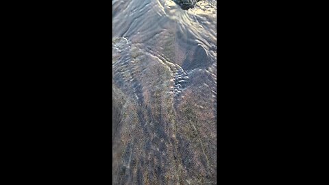
Natural Sand Art at the Beach!
Angry Seas this morning!
Agate Beach!
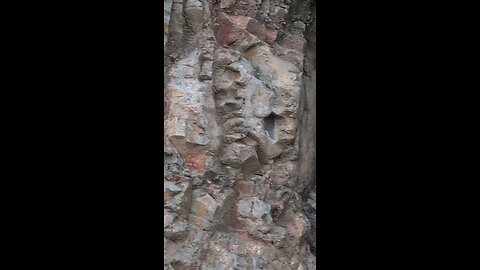
Nye Beach Cliff side!
Nye Beach Newport Oregon!
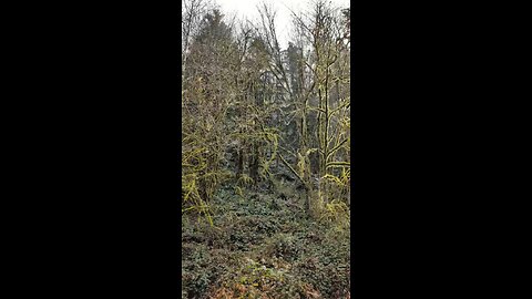
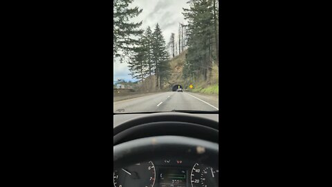
Willamette National Forest!
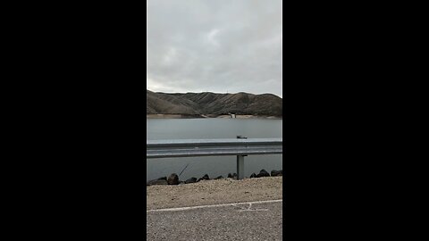
Dam Drivin'!
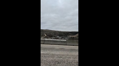
Lucky Peak Dam!
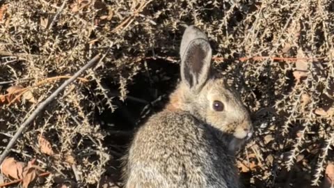
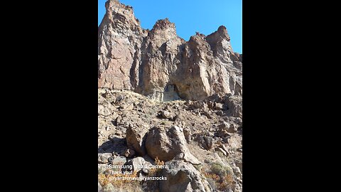
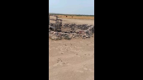
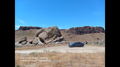
Rockhounding at The Graveyard!
Graveyard Point Rockhunt!
Beautiful day at The Graveyard!
Room with a view!
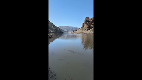
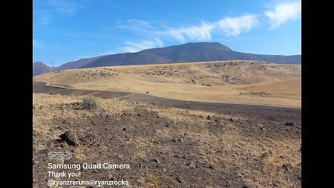
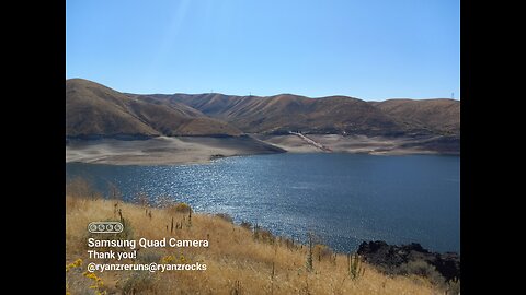
Lake Owyhee!
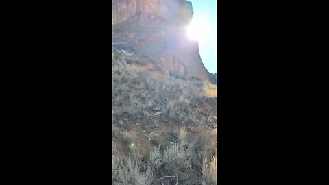
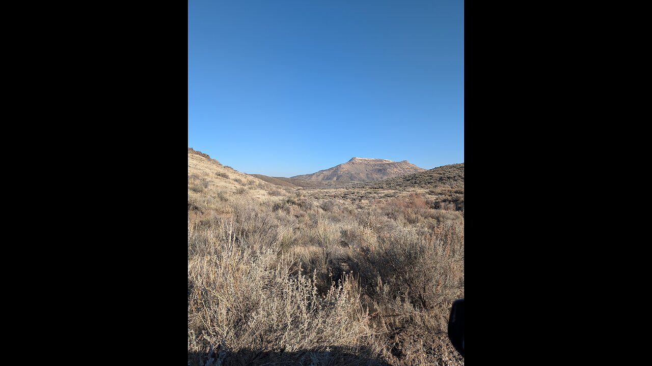
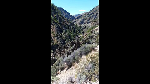
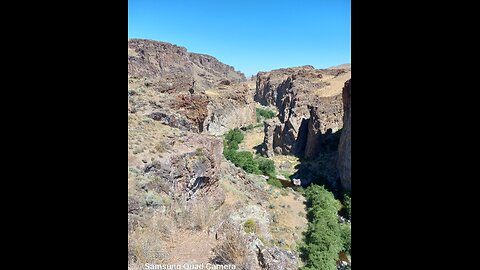
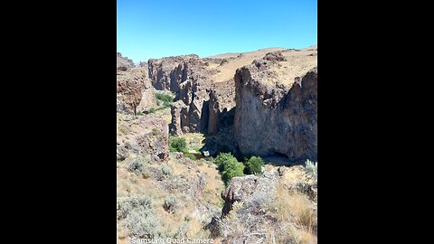
Entering the Gulch!
What planet am I on?!?!
Beautiful day at the Gulch!
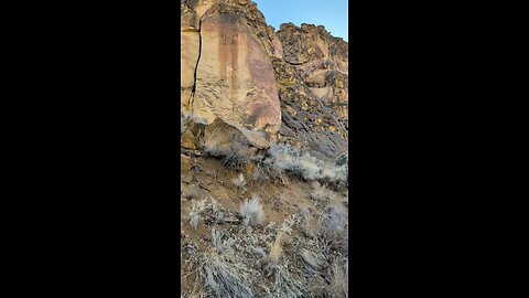
Cliffs at Leslie Gulch!
PEOPLE CLIMB THESE!
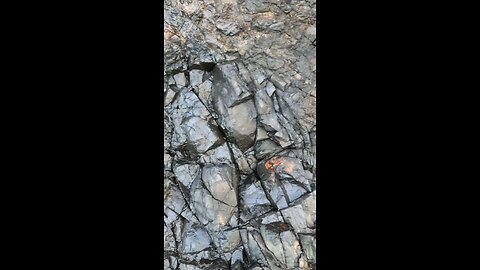
Jagged!

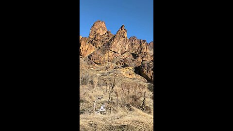
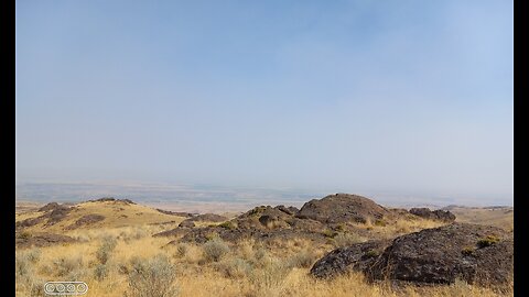
Blue Skies at the Gulch!
Cool formations!
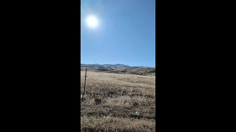
Sommer Camp Rd area!
Do you see the Cross?
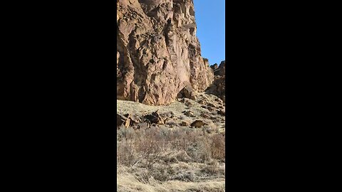
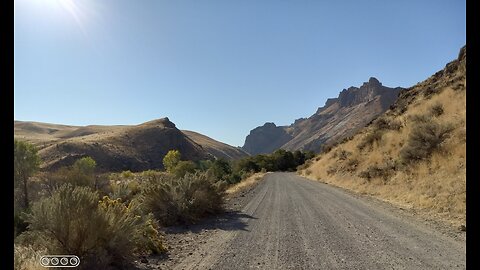
Huntin' near the Gulch!
Opalene Gulch Area!
Huntin' the Gulch!
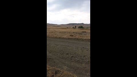
Beautiful day coming back from the Gulch!
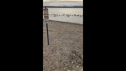
A Cold Lake Lowell Rockhunt!
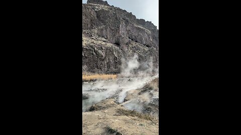
Cold Rockhunt in a Hot Springs!

Snively Gulch!
Roadcut Snively Gulch!

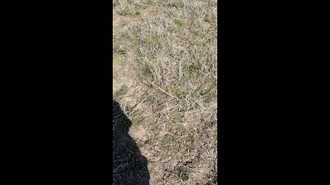
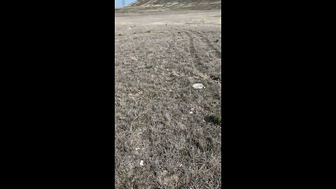
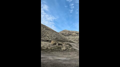
Walkin' a wash!
Out rockhoundin' the other daaaayie...
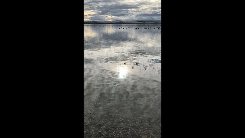
Lake Lowell Rockhunt?
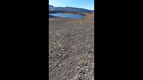
Salmon Falls Creek Reservoir!

Rabbit Springs Lava Flow!

Broken Geodes & Thundereggs!

Whole Thundereggs from Rabbit Springs Lava Flow!
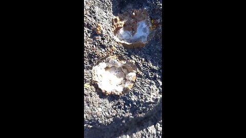
Thunderegg Nest!
Snake River Canyon! (near the Evel Knieval jump)
Rockhunting at Graveyard Point!

Boise River Rockhunting!

Wash walkin'
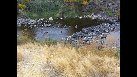
Indian Creek, ID
Huge Sheared Off Boulder! @ryanzrocks
Succor Creek Canyon, OR.
Watch for Rocks!
Rockhounding at Lucky Peak Reservoir!
Kuna Cave Lavatube!
Rockhounding near Mitchell Butte, OR
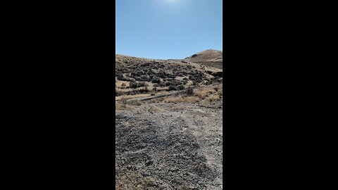
Up Rats Nest Road!

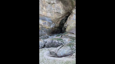
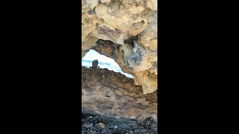
Another cave!!!
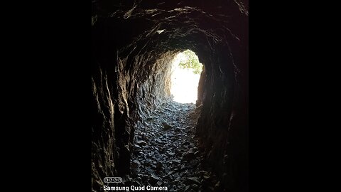
Creepy cave!!!

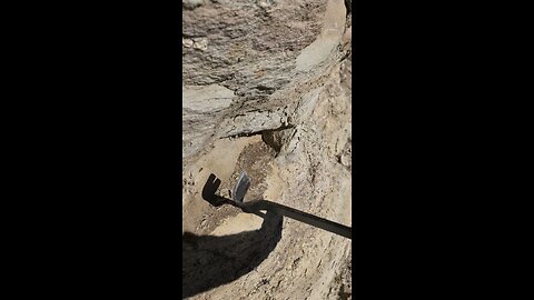
Cave full of thundereggs!
Long way down!
Succor Creek Canyon!
Graveyard Point
Walkin' a wash!
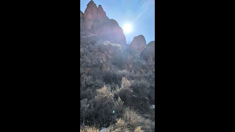
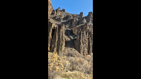
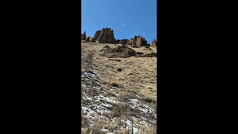
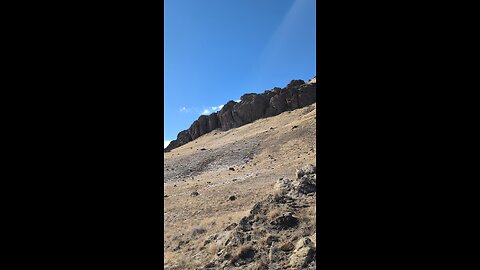
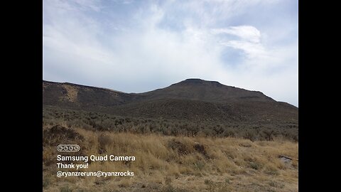
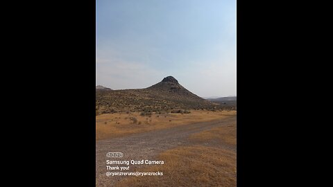
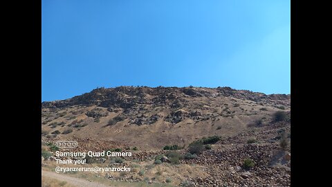
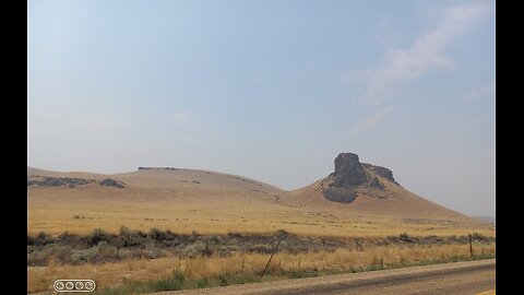
Hatstack Butte, Oregon:
Hatstack Butte is a geological feature located in Oregon, noted for its distinctive shape and elevation. Here are some key points about Hatstack Butte:
Elevation: Hatstack Butte stands at approximately 4,015 feet in elevation.
Location: It is situated in central Oregon, part of the High Desert landscape where buttes are common features.
Access and Recreation: While there's no specific mention of trails directly to Hatstack Butte, the surrounding area is known for hiking and recreational opportunities. Nearby, Juniper Butte and other buttes offer hiking paths within the Crooked River National Grassland.
Land Use: Some parts of Hatstack Butte and its surroundings are managed by the Bureau of Land Management (BLM), while other sections could be privately owned. This affects access for recreational purposes.
-
![Tulsi Gabbard Declassifies Biden Admin Docs Targeting ‘Domestic Terrorism’[EP 4524-8AM]](https://1a-1791.com/video/fww1/e3/s8/1/Z/7/-/C/Z7-Cy.0kob-small-Tulsi-Gabbard-Declassifies-.jpg) LIVE
LIVE
The Pete Santilli Show
2 hours agoTulsi Gabbard Declassifies Biden Admin Docs Targeting ‘Domestic Terrorism’[EP 4524-8AM]
3,984 watching -
 1:22:30
Game On!
14 hours ago $1.34 earnedAaron Rodgers CONFIRMS with Pat McAfee he's NOT retiring... Maybe?
25K -
 37:09
37:09
Nick Freitas
23 hours agoExposing The Worst of the Swamp
26.3K21 -
 30:12
30:12
CatfishedOnline
1 day agoOnly Fans Model Drains Man's Money in Romance Scam!
14.6K10 -
 15:01
15:01
Shea Whitney
21 hours ago $1.79 earned20 *Stylish* AMAZON Closet Organization Ideas for 2025!
16.2K6 -
 16:37
16:37
IsaacButterfield
1 day ago $1.92 earnedFatTok Is Ruining Lives
15.4K21 -
 8:42
8:42
VSOGunChannel
17 hours ago $1.54 earnedDOJ Attacks the Gun Industry & ATF Gets a New Deputy Director
14K15 -
 59:47
59:47
Trumpet Daily
21 hours ago $3.32 earnedKilmar Abrego Garcia: Democrat Poster Child and MS-13 Terrorist - Trumpet Daily | Apr. 17, 2025
14.6K2 -
 8:59
8:59
MudandMunitions
18 hours agoThe Savior Equipment Range Bag: Worth the Hype or Overrated?
15.1K -
 3:06:16
Price of Reason
18 hours agoDESPERATE Gavin Newsom SUES Trump! Disney Fantastic Four to FLOP? Asmongold Faces BACKLASH Again!!
146K19