Premium Only Content

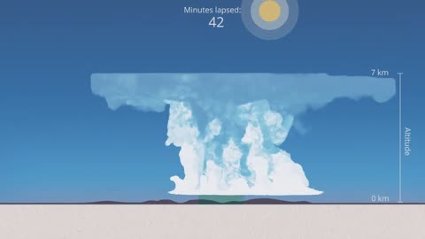
Simulation of an isolated Thunderstorm - Cumulonimbus
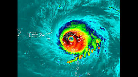
RHow Do Hurricanes Form? Meteorology - Weather Basics
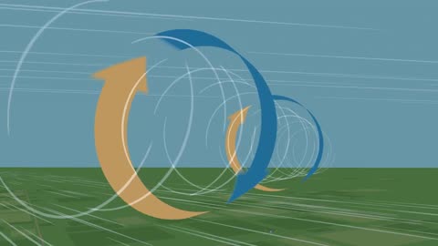
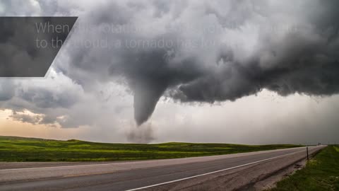
What Causes a Tornado? - Meteorological Basics
NOAA: 'The Hurricane Hunters'
What is the Enhanced Fujita Tornado Scale - Weather Basics - Meteorology
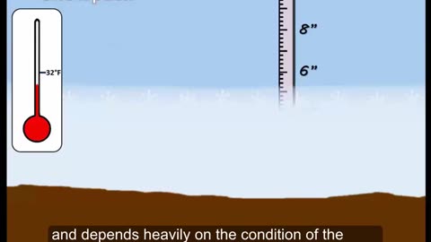
What is a Blizzard? Weather Basics - Meteorology
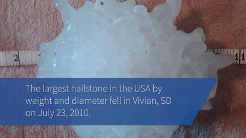
The Science of Hail - Meteorology - Weather Basics
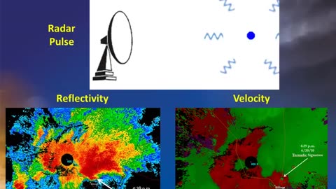
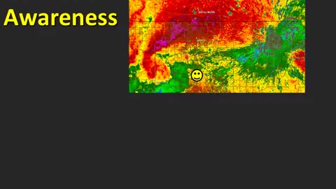
Doppler Weather Radar Basics - Weather Basics - Meteorology
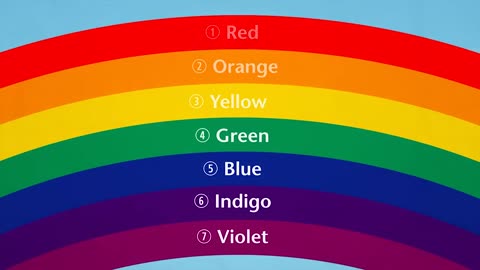
How Do Rainbows Form? - Weather Basics
Thunderstorm Types - Meteorology - Weather
How Does Rain Form? What is the Water Cycle?
Hurricanes - Weather Basics - Meteorology 101
The Science Behind Lightning - Meteorology
How does snow form? - Meteorology
Storm Spotting: Storm Motion and Positioning- Meteorology
The Science Behind Tornadoes - Meteorology
A Tutorial on Cloud Types - Weather 101 - Meteorology
NOAA: 'The Hurricane Hunters'
A hurricane hunter is a pilot brave enough to fly an airplane into the middle of a hurricane to gather data on temperature, humidity, pressure, etc. This data is critical for forecasting the intensity and path of hurricanes.
NOAA pilots, planes and researchers fly into the world's worst weather.
Data collected by the agency's high-flying meteorological stations help forecasters make accurate predictions during a hurricane and help hurricane researchers achieve a better understanding of storm processes, improving their forecast models.
P-3 Orion: Into the Storm
Slicing through the eyewall of a hurricane, buffeted by howling winds, blinding rain and violent updrafts and downdrafts before entering the relative calm of the storm’s eye, NOAA’s two Lockheed WP-3D Orion four-engine turboprop aircraft, affectionately nicknamed "Kermit" (N42RF) and "Miss Piggy" (N43RF), probe every wind and pressure change, repeating the often grueling experience again and again during the course of an 8-10 hour mission.
Scientists aboard the aircraft deploy Global Positioning System (GPS) dropwindsondes as NOAA Corps officers pilot and navigate the P-3 through the hurricane. These instruments continuously transmit measurements of pressure, humidity, temperature, and wind direction and speed as they fall toward the sea, providing a detailed look at the structure of the storm and its intensity. The P-3s' tail Doppler radar and lower fuselage radar systems, meanwhile, scan the storm vertically and horizontally, giving scientists and forecasters a real-time look at the storm. The P-3s can also deploy probes called bathythermographs that measure the temperature of the sea.
More More Meteorology Videos
https://rumble.com/playlists/JfAj918PQuc Videos
https://rumble.com/playlists/JfAj918PQuc
-
 2:27:04
AirCondaTv Gaming
5 hours ago $0.58 earnedWar Thunder - Tankering Around for That 10 Bomb
32K4 -
 4:19:05
SpartakusLIVE
8 hours agoThe MACHINE locks in for 12-hour POWER stream
23.3K1 -
 1:58:40
Robert Gouveia
7 hours agoJ6 Coverup: Prosecute LIZ CHENEY; NY Judge REJECTS Immunity; Trump Breaks Gag?
103K66 -
 2:22:06
WeAreChange
5 hours agoPSYOP Spreads: Drones Shut Down Airport In New York!
70.4K40 -
 1:31:18
Redacted News
8 hours agoEMERGENCY! NATO AND CIA ASSASSINATE TOP RUSSIAN GENERAL, PUTIN VOWS IMMEDIATE RETALIATION | Redacted
213K412 -
 56:45
56:45
VSiNLive
7 hours ago $5.09 earnedFollow the Money with Mitch Moss & Pauly Howard | Hour 1
68.1K2 -
 52:44
52:44
Candace Show Podcast
7 hours agoMy Conversation with Only Fans Model Lilly Phillips | Candace Ep 122
86K318 -
 LIVE
LIVE
tacetmort3m
7 hours ago🔴 LIVE - RELIC HUNTING CONTINUES - INDIANA JONES AND THE GREAT CIRCLE - PART 5
192 watching -
 26:52
26:52
Silver Dragons
6 hours agoCoin Appraisal GONE WRONG - Can I Finally Fool the Coin Experts?
32.6K2 -
 6:49:16
StoneMountain64
10 hours agoNew PISTOL meta is here?
34.9K1
