Premium Only Content

This Winter Pattern Will Be VERY Different...
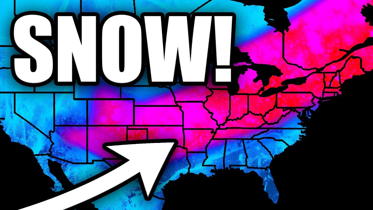
A significant pattern change is about to unfold across the United States as a powerful Arctic air mass drops southward from Canada. This upcoming pattern will feature temperature anomalies of 15-35 degrees below normal for many areas, with some locations potentially seeing subzero high temperatures. The cold air will first impact the central U.S. before spreading eastward, bringing widespread below-normal temperatures to much of the country.
This system will also bring multiple hazards, including heavy lake effect snow near the Great Lakes and potential winter weather from the Mid-Atlantic northward. The pattern shows a very amplified regime with a strong ridge over the eastern Pacific and a deep trough extending from Hudson Bay into northern Mexico.
The National Weather Service is forecasting significant impacts from this Arctic outbreak, with the coldest temperatures expected over the central High Plains. This could be one of the more notable cold outbreaks of the season, with temperatures running well below normal for an extended period.
The Y'all Squad Nonprofit: https://www.theyallsquad.org/
Official Weather Merch: https://shopryanhall.com/
-
 14:15
14:15
Ryan Hall, Y'all
5 days agoThis Winter Storm Will Be EXTREMELY Impactful...
111 -
 LIVE
LIVE
Scammer Payback
12 minutes agoCalling Scammers Live
267 watching -
 LIVE
LIVE
The Rubin Report
1 hour agoCo-Host Stunned as Adam Carolla Gives a Brutal Unhinged Message to Democrats
3,034 watching -
 LIVE
LIVE
Russell Brand
1 hour agoBREAK BREAD EP. 10 - DALLAS JENKINS
1,302 watching -
 LIVE
LIVE
Benny Johnson
2 hours ago🚨Pete Hegseth Confirmation LIVE NOW as THOUSANDS Of Vets Show Support at Capitol | Trump CHEERS On
21,438 watching -
 LIVE
LIVE
LFA TV
16 hours agoHEGSETH HEARING LIVE! | LIVE FROM AMERICA 1.14.25 11am
4,109 watching -
 1:33:12
Graham Allen
3 hours agoBiden is SABOTAGING Trump!! Says: “Our Economy Is Strong” + Elon Is Buying TikTok?!
63.3K21 -
 2:58:02
Matt Kohrs
12 hours agoPPI Inflation Report: Stocks Rip Higher (DJT, NVDA & TSLA) || The MK Show
40.1K2 -
 5:28
5:28
Dr. Nick Zyrowski
13 hours agoDopamine Detox - Get Your Energy, Sleep Quality & Focus Back
411 -
 LIVE
LIVE
Wendy Bell Radio
6 hours agoAmerica Needs To Be Democrat-Proofed
9,888 watching