Premium Only Content

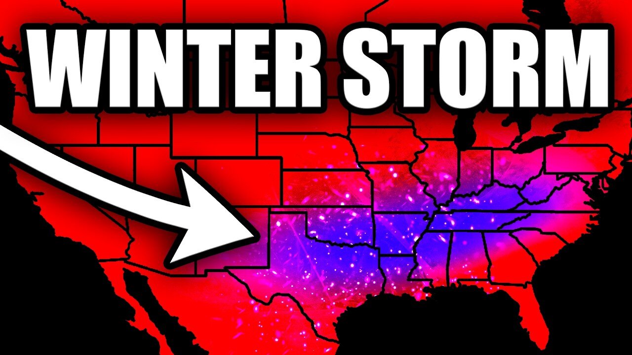
A Rare Kind Of Winter Storm Is Developing...
A major winter storm system is developing that could bring significant impacts across multiple regions. This isn't your typical winter weather event - we're tracking an intense system with a powerful 160-170kt jet stream that will drive widespread winter precipitation. The system will bring multiple precipitation types including snow, sleet, and freezing rain, with accumulations varying dramatically over short distances.
What makes this storm particularly concerning is that it's the first widespread winter event of the season for many areas, meaning even small amounts of accumulation could lead to significant travel disruptions. We're looking at probabilities of 4+ inches of snow in some areas reaching 50-70%, while other regions face serious icing threats with up to 0.1 inches of accumulation possible.
The setup includes:
- Strong upper-level dynamics
- Complex thermal profiles
- Multiple precipitation types
- Sharp gradient boundaries
- Potential travel impacts
Stay tuned for continuous updates as this system evolves. This could be one of the more impactful winter weather events we've seen in recent memory.
⚠️ Make sure to follow official National Weather Service guidance for your specific location
-----
Live 24/7 Weather Radar And Alerts With YallBot: https://www.youtube.com/live/SFcykaD6g0M
The Y'all Squad Nonprofit: https://www.theyallsquad.org/
Official Weather Merch: https://shopryanhall.com/
-
 14:15
14:15
Ryan Hall, Y'all
1 day agoThis Winter Storm Will Be EXTREMELY Impactful...
88 -
 LIVE
LIVE
The Charlie Kirk Show
59 minutes agoThe Lawfare Ends + CA Fire Updates + TikTok's Future| Darvish, Sen. Schmitt, Brown | 1.10.2025
10,355 watching -
 1:03:33
The Dan Bongino Show
3 hours agoDisturbing News On The Lawfare Op Against Trump (Ep. 2398) - 01/10/2025
444K1.56K -
 50:45
50:45
The Rubin Report
20 hours agoBill Maher Shocks Stephen A. Smith with What Liberals Tell Him Behind Closed Doors
28.6K19 -
 LIVE
LIVE
Film Threat
2 hours agoJANUARY CRAP CONTINUES! | Film Threat Livecast
133 watching -
 33:42
33:42
Tudor Dixon
3 hours agoWho's to Blame for the California Wildfires? | The Tudor Dixon Podcast
2.47K -
 LIVE
LIVE
The Big Mig™
18 hours agoGlobal Finance Forum Powered By Genesis Gold Group
2,298 watching -
 1:01:04
Dr. Eric Berg
3 days agoThe Dr. Berg Show LIVE January 10, 2025
19.9K2 -
 LIVE
LIVE
LFA TV
16 hours ago| LIVE FROM AMERICA 1.10.25 11am
5,492 watching -
 DVR
DVR
vivafrei
4 hours agoCorrupt Judge Merchan Sentencing Trump! California Fires Updates! Live with Attorney Michael Yoder
43.1K18