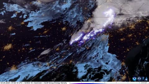
1 year agoQuebec, Canada Fires | Why Does June 2nd 2023 Satellite Imagery from College of DuPage Meteorology Department Show Dozens of Fires in Quebec Starting Up at Almost the Exact Same Time?Thrivetime Show: The ReAwakening versus The Great ResetVerified
4 years agoNephilim Giant caught on satellite imagery of the Patagonian MountainsUfomania - the truth is out there
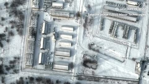
1 year agoBREAKING! PROOF CHINA SATELLITES OVER MAUI AT FIRE STARTS! | The Prather Brief Ep. 92PATRIOT.TVVerified
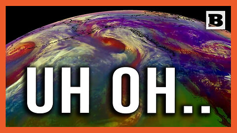
10 months agoUh Oh... Satellite Imagery Shows 3 Cyclones Heading Towards Western U.S.BreitbartVerified
3 months agoAmerican Voters: Did you know Democrats have been using satellite imagery to raid American Farms?Question EverythingVerified
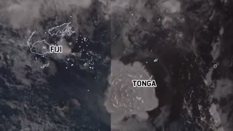
3 years agoSatellite imagery shows shockwave as Tonga's Hunga volcano erupts, causing tsunamiEarth Wind and FireVerified
1 month agoAnonymous Lockheed Martin Worker Leaked They Just Deleted This From Satellite ImagesSierraDelta
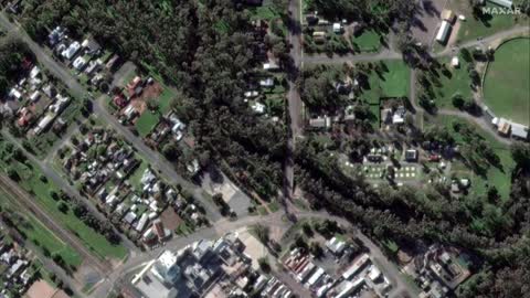
1 year agoSatellite imagery reveals damage by Sudanese military factions at airports and government buildingsJTN2020Verified
2 years ago❗~🚨TOP😱ALERT🚨~❗ENHANCED🛰️SATELLITE🗺️IMAGERY NOW CONFIRMS✠GERMAN✠COLONIES✠ESTABLISHED IN ANTARCTICA~!FLAMaquis
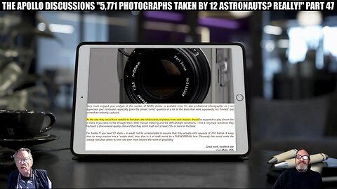
3 months agoTHE APOLLO DISCUSSIONS "5,771 PHOTOS TAKEN BY 12 ASTRONAUTS? REALLY!" PART 47TheApolloDetectives
3 months ago"THE LM AGS COMPUTER/SHUTTLE O-RING FAILURE/EM ENGINES/CARTOON PHYSICS" PART 102TheApolloDetectives
6 months agoRogue Weaponized Satellites in Under Siege 2 (1997) | Can we trust Musk-Bezos-CIA w/this technology?Gabriel Cruz ResearchVerified
2 years agoA Great Famine Is Coming! Farmers Devastated Before The 2023 Famines - Food and Meat Shortage 2022SRU
2 years agoChinese Spy Balloon Hoax U.S.A. Shoot Down Own NASA Balloon to Space Scientific Pay LoadWhat If Everything You Were Taught Was A Lie?