Premium Only Content
This video is only available to Rumble Premium subscribers. Subscribe to
enjoy exclusive content and ad-free viewing.

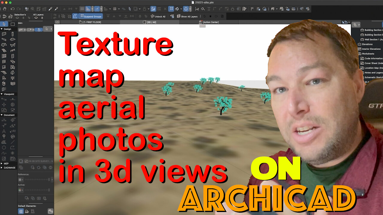
How To Add an Aerial Photograph as a Texture Map in 3D on Archicad - CBA AC 018
3 years ago
33
Add increased realism to your 3d site models in Archicad by using aerial photography as a texture map on your 3d mesh. Learn the basics in this tutorial.
Music by http://www.bensound.com
Loading comments...
-
 DVR
DVR
Kim Iversen
6 hours agoTerrorism, Act of God or “Newscum” Incompetence: What REALLY Fueled The California Wildfires
26.3K52 -
 2:16:33
Tucker Carlson
3 hours agoTucker Carlson and Michael Shellenberger Break Down the California Fires
159K185 -
 58:50
58:50
Laura Loomer
2 hours agoThe Great Replacement (Full-Length Documentary)
16.5K14 -
 LIVE
LIVE
Razeo
2 hours agoEp 31: Finishing March Ridge & onto Muldraugh tonight
242 watching -

Adam Does Movies
1 hour ago $0.02 earnedBatman II Update + Flash Director Fails + Movie Bombs! - LIVE!
3.26K1 -
 LIVE
LIVE
We Like Shooting
15 hours agoWe Like Shooting 593 (Gun Podcast)
171 watching -
 57:03
57:03
Flyover Conservatives
22 hours agoJack Hibbs Blasts California Leaders: Must-Watch!; Can Trump Fix the Mess? How Long will it Take? - Dr. Kirk Elliott | FOC Show
20.5K2 -
 DVR
DVR
DillyDillerson
2 hours agoTalking to the moon!! Just some live views of the FULL MOON!!
12.7K6 -
 1:29:29
Glenn Greenwald
6 hours agoWith Biden Out, U.S. Finally Admits Harms of His Israel / Gaza Policy; Biden Pays Homage To George W. Bush; Insane Women’s Tennis Scandal: An “Abusive” Coach | SYSTEM UPDATE #388
47.7K48 -
 LIVE
LIVE
Danny Polishchuk
8 hours agoWho's To Blame For LA Fires, Jewish Tunnels Update + Forbidden Anthropology
390 watching