Premium Only Content
This video is only available to Rumble Premium subscribers. Subscribe to
enjoy exclusive content and ad-free viewing.
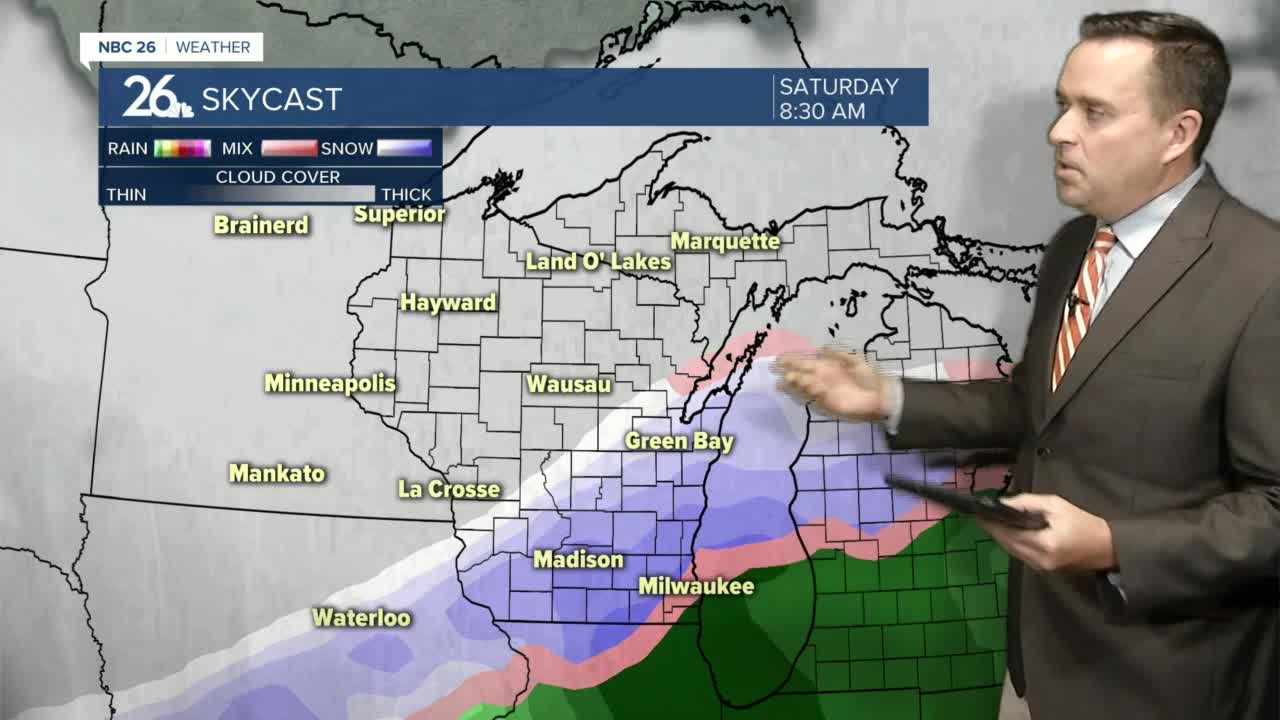
NBC 26 weather forecast
Repost
4 years ago
4
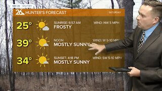
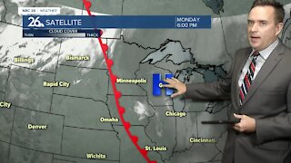
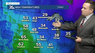
Cloudy skies are back on Friday with highs in the upper 30s. Our attention continues to closely monitor the potential for accumulating snowfall over Northeast Wisconsin. Right now, we do not have a pinpoint idea where exactly this storm will hit, but we do know that confidence is growing for an area to see accumulation somewhere in Wisconsin. If the storm is stronger, it will track further north causing more widespread snowfall to our area. If the storm ends up being weaker, the track will be further south, sparing most if not all of our area from any accumulation. We hope to have better agreement with the data as we get closer to Saturday. After this storm, the weather turns quiet Sunday and Monday with highs in the lower to mid 30s.
Loading comments...
-
 1:57
1:57
WGBA
1 year agoHow the City of Green Bay is hoping a $1.6M investment will make the community safer for pedestrians
3051 -
 0:43
0:43
WGBA
4 years agoNBC 26 weather forecast
18 -
 0:36
0:36
WGBA
4 years agoNBC 26 weather forecast
14 -
 3:29
3:29
WGBA
4 years agoNBC 26 weather forecast
9 -
 3:16
3:16
WGBA
4 years agoNBC 26 weather forecast
4 -
 3:48
3:48
WGBA
4 years agoNBC 26 weather forecast
9 -
 3:48
3:48
WGBA
4 years agoNBC 26 weather forecast
3 -
 2:58
2:58
WGBA
4 years agoNBC 26 weather forecast
1 -
 3:29
3:29
WGBA
4 years agoNBC 26 weather forecast
5 -
 3:20
3:20
WGBA
4 years agoNBC 26 weather forecast
2