Gino Recchia NBC26 Weather Forecast
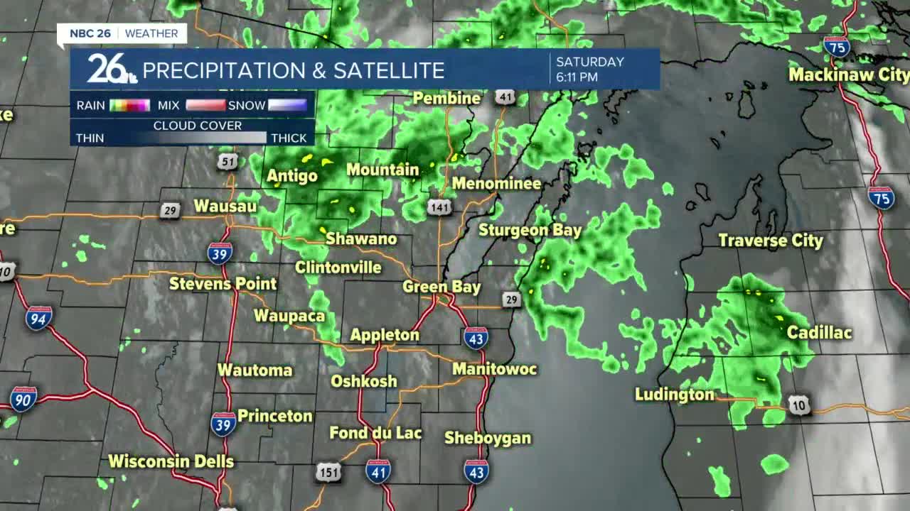
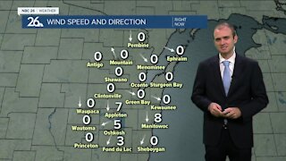
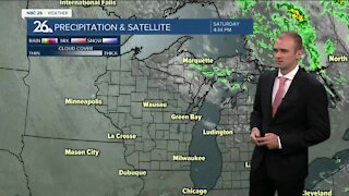
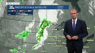
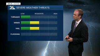
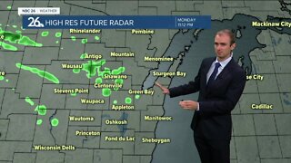
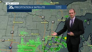
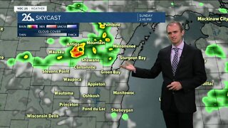
A few additional showers are expected tonight and overnight as a low pressure exits the western Great Lakes. Temperatures will fall into the mid 50s. A few showers are possible in the early morning, but by noon, we should be seeing skies clearing with temperatures climbing into the lower 70s and steady northwest winds around 5 to 15 mph. A weak cold front will drop temperatures down into the upper 60s to near 70 degrees for Monday. We should see sunny skies. This cold front will stall out in Central Wisconsin and then return as a warm front Tuesday and Wednesday. High temperatures Tuesday and Wednesday will be in the mid 70s to near 80 with mostly sunny skies. A cold front will move in on Thursday with some rain showers and temperatures back in the mid to upper 60s. Cooler weather returns soon after with another strong Canadian high pressure for next weekend with highs running 10 degrees below normal. A few additional showers are expected tonight and overnight as a low pressure exits the western Great Lakes. Temperatures will fall into the mid 50s. A few showers are possible in the early morning, but by noon, we should be seeing skies clearing with temperatures climbing into the lower 70s and steady northwest winds around 5 to 15 mph. A weak cold front will drop temperatures down into the upper 60s to near 70 degrees for Monday. We should see sunny skies. This cold front will stall out in Central Wisconsin and then return as a warm front Tuesday and Wednesday. High temperatures Tuesday and Wednesday will be in the mid 70s to near 80 with mostly sunny skies. A cold front will move in on Thursday with some rain showers and temperatures back in the mid to upper 60s. Cooler weather returns soon after with another strong Canadian high pressure for next weekend with highs running 10 degrees below normal.
-
 1:45
1:45
WGBA
1 year agoFond du Lac Cardinals start the football season with a new $5.3 million nest
269 -
 3:06
3:06
WGBA
4 years agoGino Recchia NBC26 Weather Forecast
8 -
 2:58
2:58
WGBA
4 years agoGino Recchia NBC26 Weather Forecast
2 -
 3:08
3:08
WGBA
4 years agoGino Recchia NBC26 Weather Forecast
5 -
 3:32
3:32
WGBA
4 years agoGino Recchia NBC26 Weather Forecast
4 -
 3:16
3:16
WGBA
4 years agoGino Recchia NBC26 Weather Forecast
4 -
 2:53
2:53
WGBA
4 years agoGino Recchia NBC26 Weather Forecast
4 -
 3:12
3:12
WGBA
4 years agoGino Recchia NBC26 Weather Forecast
7 -
 1:06
1:06
WGBA
4 years agoGino Recchia NBC26 Weather Forecast
6 -
 3:17
3:17
WGBA
4 years agoGino Recchia NBC26 Weather Forecast
6