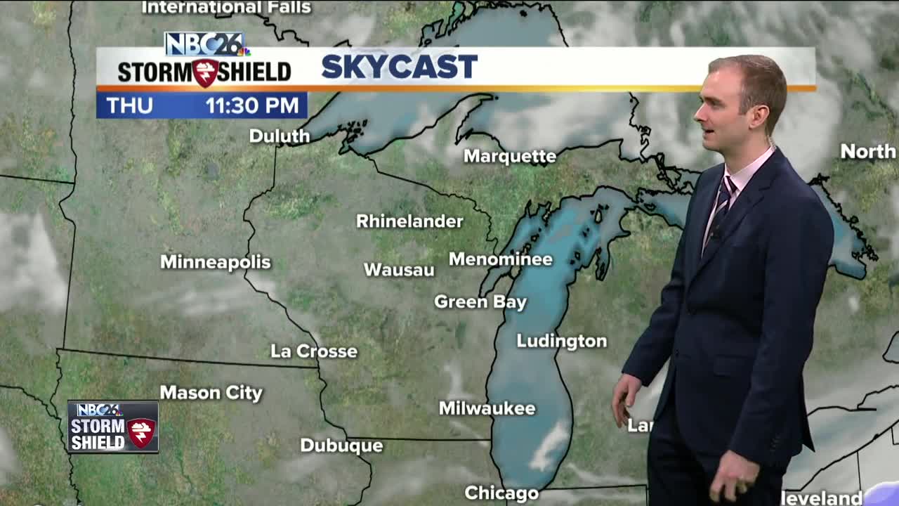
Gino Recchia NBC26 Storm Shield Weather Forecast
Yesterdays snowfall of 4 to 8 inches brought the Green Bay snow depth up to 13 inches. We are also up to 28.4" of snowfall for February. That makes this the 2nd snowiest February on record. To give you a perspective, we see just over 51 inches for the whole season and we had more than half of it in just one month. Anyone hoping to break the all time record will be disappointed because we do not have any snow today. Skies will be partly cloudy to mostly sunny today with temperatures warming up into the lower 20s. Winds will be out of the southwest between 5 and 15 mph. Tonight temperatures will dip into the single digits with very light and calm winds out of the southwest. We will start off with partly to mostly sunny skies early in the morning Friday, but then will turn overcast by the afternoon with snowfall moving in later in the evening. Temperatures will be in the upper 20s. Winds will be out of the southeast around 5-10 mph. Snowfall will last through the overnight into early Saturday morning. Accumulations will be light around 1-3 inches with some localized 4 inch totals. Skies will gradually clear Saturday afternoon with highs in the upper 20s. For anyone hoping for the continued upward trend in temperatures, we will be taking one giant leap backwards with highs on Sunday perhaps not even reaching 10 degrees. A "perfect" way to start off meteorologist spring. I promise it will come, just not sure when exactly...
-
 1:45
1:45
WGBA
1 year agoStudents excited to start at "huge and beautiful" Vel Phillips Middle School
306 -
 3:54
3:54
WGBA
3 years agoGino Recchia NBC26 Weather Forecast
2 -
 2:46
2:46
WGBA
3 years agoGino Recchia NBC26 Weather Forecast
2 -
 3:01
3:01
WGBA
3 years agoGino Recchia NBC26 Weather Forecast
5 -
 2:54
2:54
WGBA
3 years agoGino Recchia NBC26 Weather Forecast
3 -
 2:41
2:41
WGBA
3 years agoGino Recchia NBC26 Weather Forecast
2 -
 3:33
3:33
WGBA
3 years agoGino Recchia NBC26 Weather Forecast
6 -
 3:07
3:07
WGBA
3 years agoGino Recchia NBC26 Weather Forecast
3 -
 3:58
3:58
WGBA
3 years agoGino Recchia NBC26 Weather Forecast
5 -
 2:56
2:56
WGBA
3 years agoGino Recchia NBC26 Weather Forecast
5