Gino Recchia NBC26 Storm Shield Weather Forecast
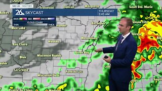
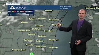
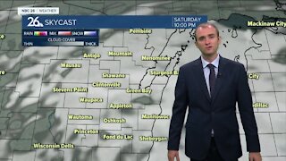
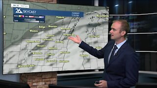
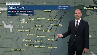
Santa won't have an issue flying over Northeast Wisconsin this evening with very quiet weather overhead. Tonight, the winds will go light while skies become partly to mostly cloudy. Lows will bottom out in the upper-teens. For those wondering if we will have a White Christmas, the small potential still exists for some folks in the afternoon. A weak wave of low pressure will track near the area. With this a few flurries or a little light snow is possible in the afternoon the farther south you live. If you would end up under any of this, you might see some very light accumulation by the evening. Highs will top out in the low-30s. This chance of a few flurries or a little light snow continues into Christmas night with little to no accumulation. Lows will be in the low-20s. Wednesday will be a quiet day, at least during the day, with mostly cloudy skies and temperatures in the lower to mid-30s. Skies will increase in cloud cover ahead of our next storm system Wednesday Night. At this time, it appears that precipitation will start off as snow north of the warm front late Wednesday night into Thursday morning. A dusting to a few inches may fall initially, especially up towards the Northwoods. Then as the front moves through, heading northwards towards the U.P., precipitation will turn over to rain during the day Thursday. Then as the storm moves out of the area Friday, and rain will turn back to some lingering snow. A few snow showers may linger into Saturday with temperatures topping out in the lower 20s with an additional light accumulation. Temperatures seem to drop to near average levels as we go into the weekend and the following week.
-
 1:57
1:57
WGBA
1 year agoHow the City of Green Bay is hoping a $1.6M investment will make the community safer for pedestrians
2501 -
 3:28
3:28
WGBA
3 years agoGino Recchia NBC26 Weather Forecast
5 -
 3:58
3:58
WGBA
3 years agoGino Recchia NBC26 Weather Forecast
1 -
 3:55
3:55
WGBA
3 years agoGino Recchia NBC26 Weather Forecast
1 -
 8:09
8:09
WGBA
3 years agoGino Recchia NBC26 Weather Forecast
7 -
 4:16
4:16
WGBA
3 years agoGino Recchia NBC26 Weather Forecast
1 -
 3:39
3:39
WGBA
3 years agoGino Recchia NBC26 Weather Forecast
6 -
 3:22
3:22
WGBA
3 years agoGino Recchia NBC26 Weather Forecast
9 -
 3:46
3:46
WGBA
3 years agoGino Recchia NBC26 Weather Forecast
12 -
 3:49
3:49
WGBA
3 years agoGino Recchia NBC26 Weather Forecast
2