NBC26 Storm Shield Weather Forecast
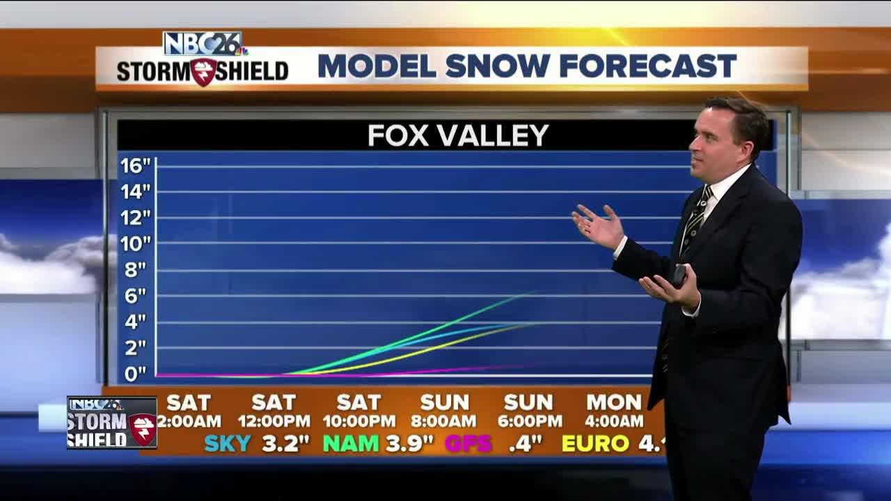
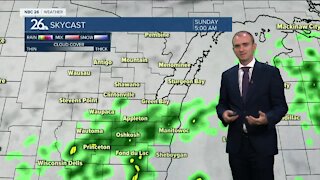
A powerful low pressure system will be tracking through as the weekend wears on. The winds will be cranking up on Saturday with a rain/mix/snow developing as the afternoon progresses. This mixture of rain in spots and snow will continue through Saturday night with some snow accumulation likely. Eventually this should change over to mainly snow on early AM Sunday with all of us seeing accumulating snow. The computer models are struggling a bit as to what the exact temperature profile will be with this system, and that will be key. As of right now, it looks like the farther you live to the northwest, the more snow you may see. 1-3" is likely SE of Fox Valley with 3-6" from Green Bay & the Fox Cities and northwest of there. This could change as a few other computer models are suggesting the band of snow will be farther south. Highs will top out in the mid/upper 30s & it will be windy on Saturday. NE winds could gust over 40 mph. On Sunday highs will in lower 30s. Next week will be on the cold side with a few weak disturbances brushing by the area. Welcome to December.
-
 1:45
1:45
WGBA
1 year agoStudents excited to start at "huge and beautiful" Vel Phillips Middle School
306 -
 3:40
3:40
WGBA
3 years agoGino Recchia NBC26 Weather Forecast
5 -
 3:51
3:51
WGBA
3 years agoGino Recchia NBC26 Weather Forecast
1 -
 2:32
2:32
WGBA
3 years agoGino Recchia NBC26 Weather Forecast
6 -
 3:21
3:21
WGBA
3 years agoGino Recchia NBC26 Weather Forecast
3 -
 3:45
3:45
WGBA
3 years agoGino Recchia NBC26 Weather Forecast
14 -
 3:07
3:07
WGBA
3 years agoGino Recchia NBC26 Weather Forecast
9 -
 3:44
3:44
WGBA
3 years agoGino Recchia NBC26 Weather Forecast
8 -
 3:48
3:48
WGBA
3 years agoGino Recchia NBC26 Weather Forecast
-
 3:13
3:13
WGBA
3 years agoGino Recchia NBC26 Weather Forecast
63