🌍 Geo Systematics in Civil Engineering: The Future of Smart & Sustainable Infrastructure! 🚀🏗️
In the ever-evolving world of civil engineering, geo systematics emerges as a game-changer, blending geospatial intelligence with engineering precision. Imagine a construction site where every rock, soil layer, and underground feature is not an obstacle but an opportunity—that’s the power of geo systematics!
By integrating cutting-edge Geographic Information Systems (GIS), remote sensing, and geospatial analytics, engineers can map, analyze, and predict terrain behavior with unprecedented accuracy. This technology eliminates guesswork, ensuring safer foundations, optimized designs, and cost-effective solutions that withstand the test of time.
📌 Why Geo Systematics Matters in Civil Engineering?
✅ Precision Mapping & Risk Mitigation 🛰️
Advanced GIS & remote sensing tools provide a 360° view of surface and subsurface conditions, helping engineers identify geological risks such as landslides, soil instability, and flood zones before construction even begins!
✅ Smarter Urban & Infrastructure Planning 🏙️
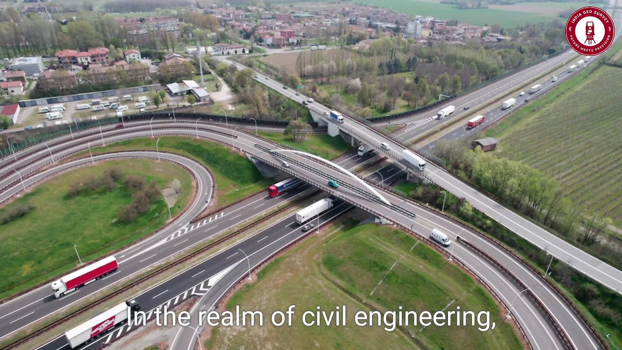
Geo systematics enables data-driven urban planning, helping authorities design smart cities with optimized roads, bridges, and utilities, ensuring efficient land use and sustainability.
✅ Seamless Collaboration Among Experts 🤝
Imagine geologists, engineers, and environmental scientists working together with shared geospatial data—geo systematics fosters multidisciplinary teamwork, enhancing decision-making and project efficiency.
✅ Eco-Friendly & Sustainable Development 🌱
As the world moves toward green engineering, geo systematics plays a vital role in environmental conservation. By analyzing ecosystems, water bodies, and biodiversity, engineers can design projects that minimize environmental impact while enhancing sustainability.
🚀 The Future of Civil Engineering with Geo Systematics!
With AI-powered mapping, LiDAR technology, and drone-based surveys, geo systematics is revolutionizing infrastructure development. From highways to high-rises, embracing geospatial intelligence ensures smarter, safer, and more resilient engineering solutions!
💡 The next era of civil engineering is here—where science meets strategy, and data meets design! 🔥
#GeoSystematics #CivilEngineering #GIS #SmartCities #RemoteSensing #GeospatialTechnology #SustainableDevelopment #FutureOfEngineering #InnovationInConstruction #EngineeringExcellence 🚀
-
 1:04:36
Man in America
16 hours ago🚨 BREAKING: Dr. Robert Young JAILED! Medical Tyrants Will Do ANYTHING to Silence Truth
93K49 -
 3:01:44
I_Came_With_Fire_Podcast
14 hours agoPanama CANAL BlackROCKED | Left of PODCASTING | Ukraine AID GONE
35K8 -
 45:56
45:56
Glenn Greenwald
13 hours agoLee Fang Reacts to Trump's Speech to Congress; Will DOGE Tackle Military Waste? | SYSTEM UPDATE #418
134K100 -
 43:23
43:23
Donald Trump Jr.
14 hours agoNo Clap: Dems are a Disgrace but My Father is Bringing Back Common Sense | Triggered Ep.222
168K123 -
 18:29
18:29
The Rad Factory
1 day ago $3.24 earnedBuilding Shred Eighty a Custom Honda Snow Kart
47.2K7 -
 UPCOMING
Precision Rifle Network
1 day agoS4E7 Guns & Grub - What makes group size increase?
31.9K2 -
 46:29
46:29
SGT Report
1 day agoAMERICA IS BACK! BYE BYE IRS!! -- Sam Anthony
70.7K97 -
 8:56:13
Dr Disrespect
20 hours ago🔴LIVE - DR DISRESPECT - WARZONE - 150 PLAYER LOBBIES
194K20 -
 1:27:35
Redacted News
15 hours ago"This is NOT normal" Trump just destroyed the woke mob as Dems in disarray | Redacted News Live
171K299 -
 1:39:52
Vigilant News Network
16 hours agoUNHINGED: Dems Say That Elon Needs to ‘Go Back to AFRICA?’ | The Daily Dose
112K25