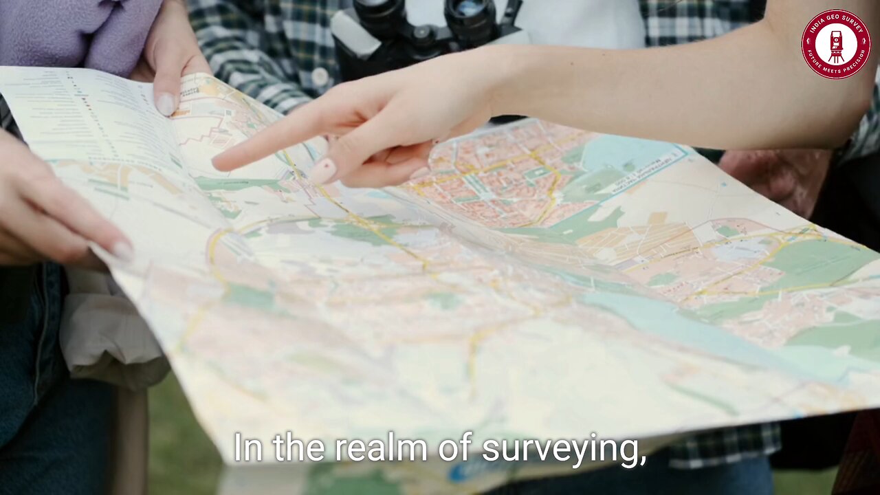
📍 How Surveyors Map the World: The Power of Coordinate Systems! 🌍✨
🗺 Ever wondered how surveyors pinpoint exact locations with precision? From skyscrapers to highways, coordinate systems are the backbone of accurate land mapping!
📌 Inside This Video:
🔹 Cartesian Coordinate System – The grid that keeps surveying simple & accurate!
🌍 Geographic Coordinate System (GCS) – Latitude & longitude’s role in mapping the Earth!
📡 GPS & GIS Technology – How modern tools enhance precision in surveying!
🏗 Real-World Applications – Why choosing the right system is critical for construction & land development!
🚀 Whether you’re a surveying professional or just curious about how maps shape our world, this video breaks it all down in an engaging way!
💬 Which coordinate system do you think is the most effective? Drop a comment below!
📌 Don’t forget to LIKE, SHARE & SUBSCRIBE for more tech-driven surveying insights!
💥 Hashtags:
#Surveying #MappingTheWorld #GIS #GPS #LandSurveying #CoordinateSystems #SurveyingTech #GeospatialData #Cartography #Engineering #ConstructionPlanning #MappingSolutions #SurveyingInnovation #GeoScience
-
 LIVE
LIVE
The Quartering
3 hours agoKarmelo Anthony SPENDING SPREE, Kamala Harris Hammered Drunk, Catturd Blasts Rumble & Superman Woke
27,674 watching -
 1:49:27
The Sage Steele Show
3 hours agoMy Parents! Mona and Gary | The Sage Steele Show
3.28K3 -
 57:31
57:31
Russell Brand
3 hours agoHalf of Congress Are Millionaires… Now They Want to Ban Insider Trading? – SF576
100K37 -

Sean Unpaved
2 hours agoNBA Elimination Battles & Pittsburgh's Safety Wake-Up
18.8K3 -
 LIVE
LIVE
Jeff Ahern
47 minutes agoThursday Thrash With Jeff Ahern
78 watching -
 34:40
34:40
CryptoWendyO
1 hour ago $0.31 earnedCRYPTO MARKET CAP HITS $3 TRILLION BIG STABLECOIN NEWS
4.23K1 -
 5:55
5:55
Talk Nerdy Sports - The Ultimate Sports Betting Podcast
40 minutes ago5/1/25 - May 1 Picks Are CRIMINAL… This Card Might Go 12-0 💰⚾🏀🏒
-
 2:05:15
Steven Crowder
6 hours agoTrump's Ukraine Mineral Deal Explained: How this Could Effectively End the War
391K212 -
 1:24:58
Simply Bitcoin
3 hours ago $1.38 earnedCONFIRMED: Wall Street Giants FIGHTING Over The Last 1.2M Bitcoin! | EP 1235
21.7K2 -
 31:54
31:54
ROSE UNPLUGGED
23 hours agoThe Colorful Lie: Dr Malone on Why Food Dyes Are Under Fire
1722