🌍 Mastering Surveying Techniques: Mapping the World with Precision!
📐 Ever wondered how geographers accurately map landscapes and analyze environmental changes? It all starts with powerful surveying techniques that lay the foundation for understanding our world. From ancient methods to cutting-edge technology, discover how surveying continues to shape geography!
🚀 What You’ll Learn:
🔺 Triangulation Technique: Uncover the power of geometry in mapping vast areas by creating networks of triangles for pinpoint accuracy.
🛰️ GPS Surveying Revolution: Explore how Global Positioning Systems (GPS) provide real-time, precise location data, even in challenging terrains.
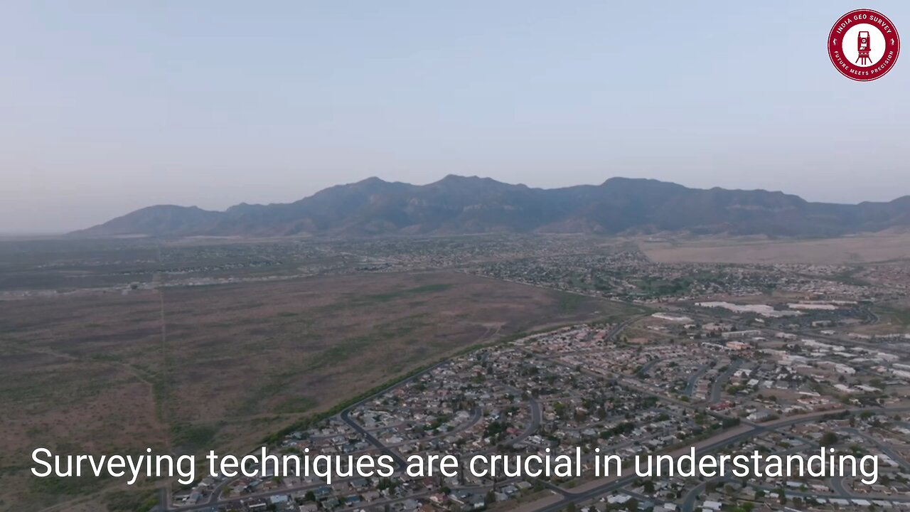
📸 Photogrammetry Magic: See how aerial imagery is transformed into detailed maps and 3D models, crucial for urban planning and environmental monitoring.
🎛️ Total Stations Explained: Learn about these advanced devices that combine angle and distance measurement for fast, accurate surveys.
🌐 GIS Integration: Discover how Geographic Information Systems (GIS) enhance data visualization, helping geographers analyze complex spatial relationships.
🌟 Join us on this educational journey as we dive into the world of surveying techniques that bring geography to life! Whether you're a student, professional, or curious explorer, this video offers a deep dive into the technologies that help us understand and manage our environment.
🎥 Watch Now and see how modern surveying techniques are mapping the future!
🔔 LIKE, SHARE & SUBSCRIBE for more insights into geography, geospatial tech, and cutting-edge surveying solutions!
💬 Which surveying technique fascinates you the most? Share your thoughts in the comments!
💥 Hashtags:
#SurveyingTechniques #GeographyMapping #Triangulation #GPSSurveying #Photogrammetry #TotalStations #GeospatialAnalysis #GISIntegration #TopographicMapping #EnvironmentalStudies #LandSurveying #GeographyInsights #MappingTheWorld #SurveyingInnovation #TechInGeography
-
 LIVE
LIVE
Wendy Bell Radio
6 hours agoLONG LIVE THE KING
12,624 watching -
 1:27:55
Game On!
17 hours ago $4.36 earnedThe BIGGEST Hockey Match of the Century: USA vs Canada!
47.1K6 -
 17:20
17:20
Bearing
2 hours agoElon Musk's Baby Mama Drama 😧 Did he Stick it in CRAZY??
6.73K4 -
 LIVE
LIVE
2 MIKES LIVE
2 hours agoTHE MIKE SCHWARTZ SHOW with DR. MICHAEL J SCHWARTZ 02-20-2025
242 watching -
 10:33
10:33
ThinkStory
19 hours agoCOMPANION Ending Explained!
62.9K4 -
 19:59
19:59
Neil McCoy-Ward
19 hours ago🇺🇸 $5,128.21 DOGE Stimulus Check Refund?! Here’s What You Need to Know!
46.6K25 -
 29:22
29:22
Degenerate Jay
23 hours ago $3.94 earnedIs Captain America: Brave New World That Bad? - Movie Review
41.3K5 -
 2:35
2:35
Mrgunsngear
21 hours ago $4.74 earnedFrying Pan As Improvised Body Armor?
63.2K27 -
 9:07
9:07
Silver Dragons
20 hours agoThis GOLD REVALUATION Will Change Everything
57.7K15 -
 9:16
9:16
MudandMunitions
21 hours agoGriffin Armament 3x Prism Optic Unboxing and First Impressions! The Ultimate Tactical Upgrade
47.1K2