Premium Only Content

🚀 Revolutionizing Mapping with Remote Sensing & GIS! 🌍
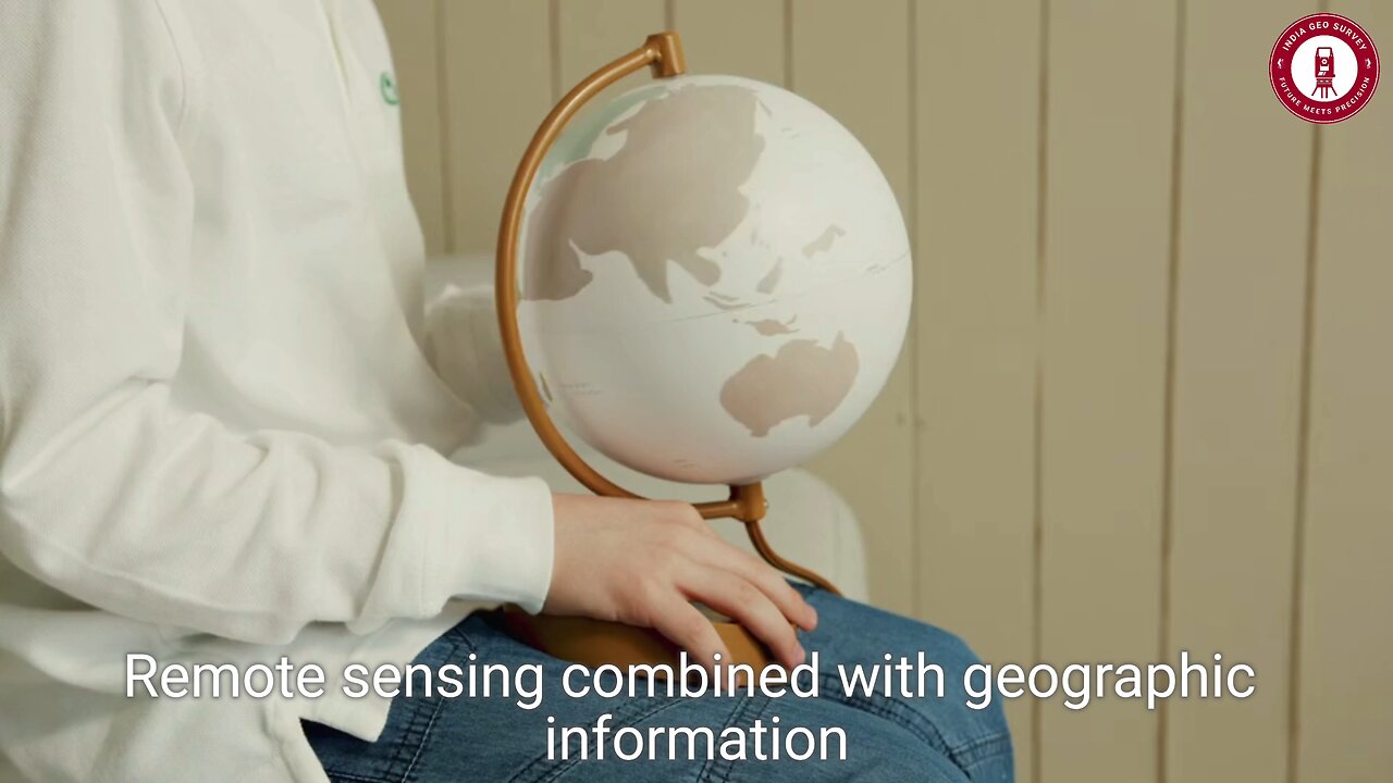
🌐 Discover how Remote Sensing and GIS are transforming the way we understand our world! From satellite imagery to LiDAR technology, see how these advanced tools capture the Earth in stunning detail.
🌟 What You’ll Learn:
🛰️ High-Tech Mapping: How remote sensing collects data from space and integrates with GIS for powerful visualizations.
🌳 Environmental Monitoring: Tracking deforestation, climate change, and ecosystem evolution with unmatched precision.
🏙️ Urban Planning & Development: Using GIS data to monitor city growth, optimize land use, and ensure sustainable development.
🌊 Disaster Management: Real-time satellite imagery for rapid damage assessment and strategic recovery planning.
🔍 Complex Spatial Analysis: Turning raw data into actionable insights for smarter decision-making.
🚀 Experience the future of mapping with cutting-edge technology that’s reshaping environmental science, urban planning, and disaster management!
🎥 Watch now to explore the powerful combination of Remote Sensing and GIS that’s changing how we map and manage the Earth!
🔔 LIKE, SHARE & SUBSCRIBE for more groundbreaking tech insights and geospatial innovations.
💬 What applications of remote sensing and GIS fascinate you the most? Let us know in the comments!
💥 Hashtags:
#RemoteSensing #GIS #DigitalMapping #SatelliteImagery #LiDAR #EnvironmentalMonitoring #UrbanPlanning #DisasterManagement #GeospatialTechnology #SmartMapping #SustainableDevelopment #FutureOfMapping
-
 LIVE
LIVE
Graham Allen
2 hours agoPete Hegseth Is Going After BIDEN for Afghan Withdrawal!! + Trump EXPOSES Insane Spending!!
5,937 watching -
 1:30:58
Game On!
15 hours ago $1.98 earnedNFL EXPERTS PREDICT 2025's FIRST ROUND PICKS!
21.6K -
![TRUMP: Ukraine War With Russia Could Start World War 3 [EP 4444-8AM]](https://1a-1791.com/video/fwe1/e3/s8/1/A/I/6/2/AI62x.0kob-small-TRUMP-Ukraine-War-With-Russ.jpg) LIVE
LIVE
The Pete Santilli Show
22 hours agoTRUMP: Ukraine War With Russia Could Start World War 3 [EP 4444-8AM]
1,430 watching -
 LIVE
LIVE
Jeff Ahern
1 hour agoNever Woke Wednesday with Jeff Ahern (6am Pacific)
304 watching -
 38:16
38:16
CryptoWendyO
20 hours ago $2.80 earnedSolana Sandal Keeps Getting Worse! (Bullish for Ethereum and BNB)
20.6K4 -
 1:10:57
TheRyanMcMillanShow
1 day ago $2.17 earnedRaul Mendez: Stopped A Mass Shooting After Being Shot in the Head - RMS 018
18.6K2 -
 58:31
58:31
State of the Second Podcast
17 hours agoHollywood's Closet Gun Owners, LEGAL Exploding Targets, & It's NOT Alec Baldwin's FAULT?!
27.2K -
 1:00:08
Trumpet Daily
22 hours ago $5.24 earnedTrump vs. Karl-Theodor zu Guttenberg - Trumpet Daily | Feb. 18, 2025
28.3K7 -
![EP. 151 - [your]NEWS & CrossCheck USA - Synergistically UNITED!](https://1a-1791.com/video/fwe1/54/s8/1/x/I/E/P/xIEPx.0kob-small-EP.-151-yourNEWS-and-CrossC.jpg) 55:35
55:35
Kat Espinda
6 days agoEP. 151 - [your]NEWS & CrossCheck USA - Synergistically UNITED!
24K1 -
 3:08
3:08
UnboxRemedy
3 days ago $0.48 earnedUNBOXING: CryBaby Crying Again Series (Ep.2)
17.8K1