📡 Master GPS Land Measurement The Future of Surveying is Here! 🌍✨
🚀 Say Goodbye to Guesswork—GPS is Revolutionizing Land Measurement! 🚀
Navigating land boundaries has NEVER been easier! With GPS technology, you can pinpoint locations with unmatched accuracy—whether you're a professional surveyor or a property owner. 📍💡 In this video, we break down how to use GPS for land measurement like a pro!
🔎 What You’ll Learn:
✅ How GPS works & why it’s a game-changer for surveying 🛰️📏
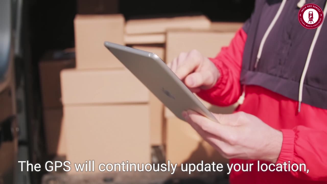
✅ Choosing the right GPS device for your needs (smartphone vs. professional tools) 📱📡
✅ The secrets of GPS calibration for accurate land measurement 🎯
✅ How to map & record property boundaries with precision 🗺️✍️
✅ Tips to export and analyze GPS data for future projects 🔄💾
💡 Want to measure land with 100% accuracy? Watch this video and take your surveying skills to the next level! 🎥📊
🔥 What’s your go-to GPS tool? Let us know in the comments! 👇
💥 Hashtags:
#GPSMapping #LandSurveying #SurveyingTech #GPSMeasurement #Geospatial #MappingTools #TechInnovation #SmartSurveying #SurveyorsLife #DigitalMapping
🌟 LIKE, SUBSCRIBE & SHARE to stay ahead in the world of land surveying and GPS tech! 🚀
-
 11:03
11:03
Degenerate Jay
3 days ago $0.17 earnedHenry Cavill James Bond Was Almost A Reality
4.58K7 -
 31:58
31:58
CarlCrusher
1 day agoDiscovering the Secret Ultra Low Spectrum for UFO Contact and Skinwalker Ranch
4.08K -
 3:44
3:44
Rethinking the Dollar
1 day agoMichigan’s Big Bitcoin Move—What It Means!
16K1 -
 16:56
16:56
Chris From The 740
14 hours ago $0.19 earnedIs The Ruger RXM A Viable Carry Option? Let's Find Out!
9.19K3 -
 38:28
38:28
Athlete & Artist Show
7 hours ago $6.04 earnedNHL 4 Nations Face Off High Stakes Betting
85.5K5 -
 1:55:41
I_Came_With_Fire_Podcast
13 hours agoAncient Egypt's Rise: Lost Tech, Cult of the Blue Lotus, & Secrets of a Fallen Empire
71.8K15 -
 49:24
49:24
Tactical Advisor
6 hours agoNew Holster & Home Defense Shotgun | Vault Room Live Stream 016
54.3K3 -
 4:44:39
SoundBoardLord
9 hours ago90's Cartoons, Chill Vibes, Good Conversations - SATURDAY MORNINGS WITH CASEY
65.8K3 -
 38:28
38:28
Anthony Pompliano
2 days ago $5.04 earnedPomp on BlackRock & Metaplanet Buying Bitcoin
80.3K -
 36:01
36:01
TimcastIRL
19 hours agoThe Green Room #82 - Timcast Discord & Building Culture in the Digital Space with Roma Nation
98.2K15