🚀 Drones in Land Surveying: The Future is Here! 📡✨
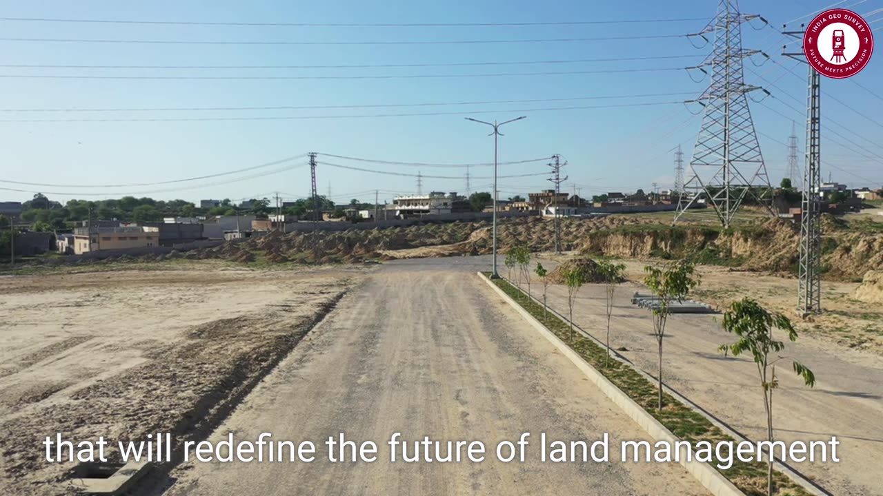
🌍 Land surveying has entered a new era with DRONE TECHNOLOGY! 🚁📊
Say goodbye to traditional, time-consuming methods and embrace the power of aerial precision! With high-resolution imaging, LiDAR scanning, and AI-powered analysis, drones are revolutionizing land surveying like never before!
🔍 What You'll Learn in This Video:
✅ How drones improve accuracy & speed in surveying 🏗️📐
✅ The game-changing impact of LiDAR & photogrammetry 🛰️🌎
✅ Why drone surveying is safer & more efficient 🚁💡
✅ How AI & machine learning are shaping the future of surveying 🤖⚡
✅ The eco-friendly benefits of drone-powered land mapping 🌱📊
🔥 Are you ready for the future of surveying? Comment below if you're using drones in your projects! 👇
💥 Hashtags:
#DronesForSurveying #LandSurveying #DroneMapping #SurveyingTech #LiDAR #AIinSurveying #GeospatialTech #MappingTheFuture #SurveyorsLife
🌟 LIKE, SUBSCRIBE & SHARE to stay ahead of the latest innovations in land surveying! 🚀
-
 13:57
13:57
TimcastIRL
19 hours agoTrump NUKES IRS After DOGE Investigation, OVER 9000 Employees To Be FIRED
92.5K162 -
 13:35
13:35
Russell Brand
12 hours agoPFIZER JUST MADE THEIR NEXT MOVE AND EXPERTS ARE TERRIFIED
113K222 -
 1:15:57
Victor Davis Hanson Show
22 hours agoOver Here, Over There: the Russo-Japanese War and Trumpian Peace Policy
52.1K31 -
 23:55
23:55
MYLUNCHBREAK CHANNEL PAGE
1 day agoThe Nephilim Are Here
82.9K68 -
 1:00:58
Break The Cycle w/ Joshua Smith
9 hours ago $1.45 earnedBreak The Cycle Ep. 247: Funny Guys w/ Robbie "The Fire" Bernstein
22.5K1 -
 41:26
41:26
TheTapeLibrary
1 day ago $9.40 earnedThe Disturbing Horrors of the Trans-Allegheny Lunatic Asylum
54.7K5 -
 10:07
10:07
Tundra Tactical
10 hours ago $6.31 earnedTRUMP'S HUGE GUN RIGHTS MOVE!
36.6K7 -
 1:53:23
Mally_Mouse
10 hours agoSaturday Shenanigans!! - Crowd Control - Content Warning
27.2K1 -
 17:24
17:24
Exploring With Nug
15 hours ago $3.58 earnedScuba Diving on Underwater Cars Searching For Missing Man!
40.1K1 -
 3:06:12
Jewels Jones Live ®
2 days agoWASTE, FRAUD & ABUSE | A Political Rendezvous - Ep. 110
93K29