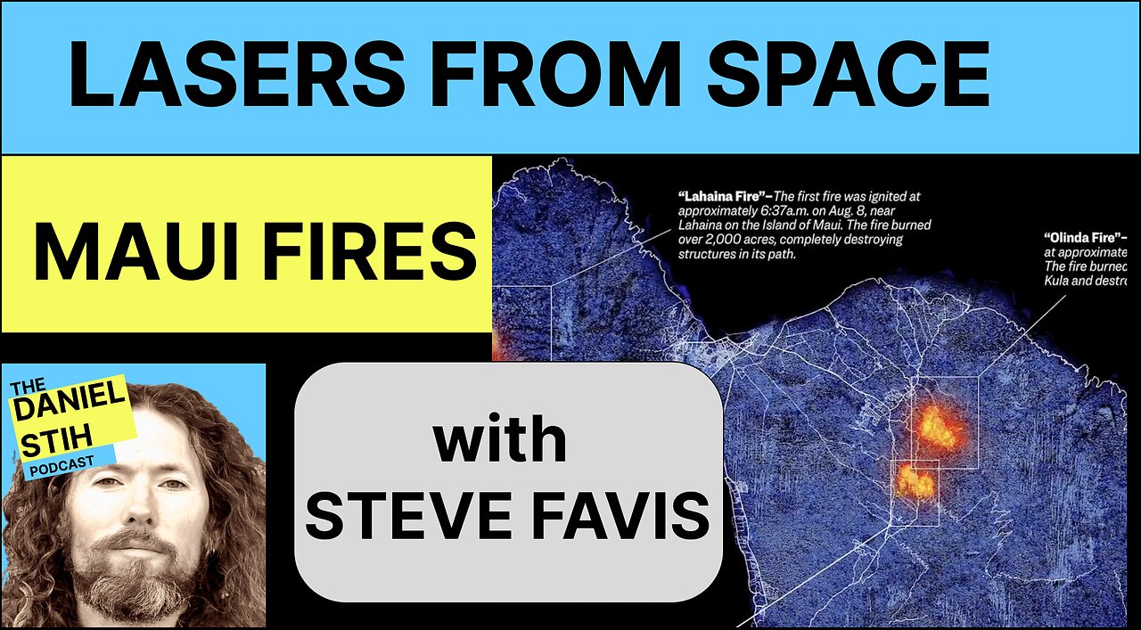
Lasers from Space: Did Energy Weapons on Chinese Satellites Cause The Maui Fires: Guest Steve Favis
Could lasers on Chinese satellites have caused the Maui fires of 2023? I talk with Steve Favis, CTO of Favis Advanced Robotics, to explore the science behind lasers and space-based directed energy weapons. A robotics and AI expert, Steve shares his forensic research linking Chinese satellites to fires, explains how high-powered lasers from orbit could ignite ground targets, and how anyone can track satellites using public data. We dive into the concept of 5th generation warfare—a modern battlefield where attacks come not through conventional means, but through technology, deception, and hidden tactics. Could this be a new era of warfare? Tune in and decide for yourself.
To hear the full episode, listen on Spotify or Apple
Apple: https://podcasts.apple.com/us/podcast/the-daniel-stih-podcast/id1759745593
Spotify: https://open.spotify.com/show/3sHUEDgrVNdUP1RsunKFDs
SHOW NOTES:
Steve Favis:
http://SteveFavis.com
http://Far-Corp.com
http://MisterRobots.com
Twitter: https://twitter.com/stevefavis
Truth Social @Subvertio
Gab Social @Subvertio.
Directed Energy Weapons Laser Capabilities
Was there a Satellite Flying above Maui at the time of the Fires?
https://www.misterrobots.com/lasers
Steve Favis’s source code to access satellite data using MatLab:
https://www.misterrobots.com/lasers
%/
%MatLab version R2023a
%Need Aerospace Toolbox, and Aerospace Blockset Add ons
% file name 57288.txt with TLE data :
% CCP-"OBJECT A" NORAD_CAT_ID=57288
% 1 57288U 23095A 23238.88607862 .00000048 00000-0 60389-4 0 9994
% 2 57288 86.5074 359.5870 0018551 160.6773 199.5077 13.40116728 6499
/%
tleFile='57288.txt';
startTime = datetime(2023, 8, 7);
stopTime = datetime(2023, 8, 10);
sampleTime = 60;
sc = satelliteScenario(startTime,stopTime,sampleTime);
sat1 = satellite(sc,tleFile);
elements1 = orbitalElements(sat1);
%Play Satellite Scenario
play(sc);
Other References:
Space-Track.org promotes space flight safety, protection of the space environment and the peaceful use of space worldwide by sharing space situational awareness services and information with U.S. and international satellite owners/operators, academia and other entities.
https://www.space-track.org/documentation#lch
https://www.space.com/space-force-1st-targeting-squadron
“New images use AI to provide more detail on Maui fires.”
https://msutoday.msu.edu/news/2023/ai-images-provide-maui-fire-details
Wildfire Monitoring, NASA Fire Information for Resource Management System (FIRMS): https://nasaacres.github.io/maui-wildfires
First fire location: https://firms.modaps.eosdis.nasa.gov/map/#t:tsd;d:2023-08-02..2023-08-08;@-156.50,20.80,10.00z
More ways of Accessing Satellite Data:
Satellites launched by space agencies are freely available (and can be explored below), but are at a lower resolution. Most satellite datasets collected by NASA and European Space Agency satellites are available publicly on the same day the satellite observations are taken. The high-resolution satellites from private companies like Planet, Maxar, and others are typically not freely available. However, many companies have disaster response programs that give free access to high-resolution imagery following disasters.
Planet Disaster Data Program
Planet makes their high-resolution imagery available to the public following select disaster events, including the Maui wildfires.
Maxar Open Data Program
Maxar has made high-resolution post-disaster images from August 9, 2023 openly available for download.
Sentinel-2 SentinelHub Playground
The SentinelHub Playground makes data from the Sentinel-2 satellites available to explore in your web browser. The date of the imagery can be controlled in the calendar icon on the webpage header (highlighted by a red box in the image above). Sentinel-2 images are captured at least every 5 days, at approximately 10:00am local time. The last Sentinel-2 images over Maui were taken on August 8, so the next image should be available on August 13.
NASA Active Fire Data
This website provides the raw geospatial data of active fire detections from the NASA MODIS, VIIRS, and Landsat satellites to generate the map on the NASA Fire Information for Resource Management System linked above. You can access the data by downloading the files or using their API.
THE DANIEL STIH PODCAST
✩ Website: https://danielstih.com
✩ Instagram: https://www.instagram.com/thedanielstihpodcast/
✩ Facebook: https://www.facebook.com/people/The-Daniel-Stih-Podcast/61565999878847/
#mauifires #lasers #satellites #maui
-
 LIVE
LIVE
The Rubin Report
59 minutes ago‘Shark Tank’ Legend Notices Something About Trump’s Canada Plan No One Noticed
2,625 watching -
 LIVE
LIVE
Benny Johnson
55 minutes agoPANIC: Massive Democrat Money Laundering Scandal EXPOSED, ActBlue in Collapse! Kash Criminal Charges
6,817 watching -
 LIVE
LIVE
Steven Crowder
2 hours ago🔴 USAID Shredding Conspiracy | What Everyone's Getting Wrong with Half Asian Lawyer Bill Richmond
40,452 watching -
 1:07:01
Timcast
1 hour agoTrump THREATENS MASSIVE 200% Tariff Against EU As GLOBAL Trade War IGNITES, China Hits Canada
39.7K37 -
 LIVE
LIVE
LFA TV
15 hours agoCORNERED RATS RETALIATE! | LIVE FROM AMERICA 3.13.25 11AM
4,491 watching -
 34:04
34:04
The Big Mig™
14 hours agoAlex Jones Marked For Death
5.19K3 -
 48:29
48:29
BonginoReport
3 hours agoSatanists Dedicate Kansas Capitol to Satan (Ep.159) - 03/13/2025
95.9K131 -
 2:07:09
Matt Kohrs
13 hours agoBreaking Market News: Tariffs, Inflation & Gov'nt Shutdown || The MK Show
48.2K2 -
 LIVE
LIVE
Wendy Bell Radio
7 hours agoThe Schumer Shutdown
10,858 watching -
 19:19
19:19
Shea Whitney
2 hours ago $0.17 earnedI Drank *WATER ONLY* for 72 HOURS…Shocking Results!!!
3.5K