Gino Recchia NBC26 Storm Shield Weather Forecast
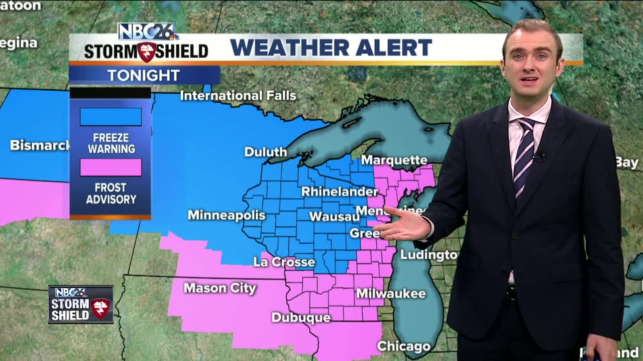
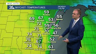
Temperatures are on a down-slide for the next few days with a surge of a chilly air mass moving in from Canada. We are waking up this morning with a mix of clouds and some isolated showers but later today, we will see additional pop-up showers develop as cold air coupled with some solar heating will destabilize the atmosphere a bit. A secondary cold front will push through the area today and that will cause temperatures to drop tonight. Afternoon high temperatures will be in the lower to mid-50s with winds out of the west around 10 to 15 mph. Tonight, skies will clear and winds will gradually calm. With a chilly air mass moving overhead, temperatures will drop into the mid and lower 30s for most of Northeast Wisconsin. However, a few locations will drop into the upper 20s. This will help kill most of not all of the mosquitoes. High pressure will move in for the beginning of the weekend. Saturdays highs will range from the upper 40s to the lower 50s with winds out of the southwest around 5 to 10 mph. Clouds will be on the increase over the coming days with a risk of rainfall starting tomorrow and continuing all through next week Wednesday. Several inches of rain could accumulate by Thursday.
-
 0:30
0:30
WGBA
1 year agoThree Degree Guarantee
220 -
 3:52
3:52
WGBA
3 years agoGino Recchia NBC26 Weather Forecast
10 -
 3:34
3:34
WGBA
3 years agoGino Recchia NBC26 Weather Forecast
11 -
 4:01
4:01
WGBA
3 years agoGino Recchia NBC26 Weather Forecast
15 -
 3:11
3:11
WGBA
3 years agoGino Recchia NBC26 Weather Forecast
5 -
 3:33
3:33
WGBA
3 years agoGino Recchia NBC26 Weather Forecast
4 -
 3:45
3:45
WGBA
3 years agoGino Recchia NBC26 Weather Forecast
1 -
 3:46
3:46
WGBA
3 years agoGino Recchia NBC26 Weather Forecast
6 -
 4:02
4:02
WGBA
3 years agoGino Recchia NBC26 Weather Forecast
8 -
 3:46
3:46
WGBA
3 years agoGino Recchia NBC26 Weather Forecast
15