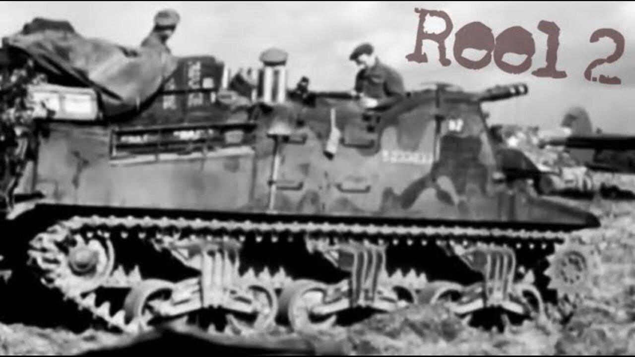
Operation Market Garden 1944 RAW British footage - REEL 2
SUPPORT THE CHANNEL and get access to exclusive film footage
www.Patreon.com/Military1945
Episode 182
Operation Market Garden was an Allied military operation during the Second World War fought in the German-occupied Netherlands from 17 to 27 September 1944. Its objective was to create a 64 mi (103 km) salient into German territory with a bridgehead over the River Rhine, creating an Allied invasion route into northern Germany. This was to be achieved by two sub-operations: seizing nine bridges with combined U.S. and British airborne forces (Market) followed by land forces swiftly following over the bridges (Garden).
The airborne operation was planned and undertaken by the First Allied Airborne Army with the land operation by XXX Corps of the British Second Army. It was the largest airborne operation of the war up to that point.
Although the operation succeeded in liberating the Dutch cities of Eindhoven and Nijmegen along with many towns, and limited V-2 rocket launching sites, it failed to secure a bridgehead over the Rhine, with the advance being halted at the river.
Geography
A World War II military operation fought in the Netherlands from Sept. 17 to 25, 1944. Highway 69 (later nicknamed "Hell's Highway") leading through the planned route was two lanes wide, partly raised above a surrounding flat terrain of polder or floodplain. The ground on either side of the highway was in places too soft to support tactical vehicle movement and there were numerous dikes and drainage ditches. Dikes tended to be topped by trees or large bushes, and roads and paths were lined with trees. In early autumn this meant that observation would be seriously restricted.
There were six major water obstacles between the XXX Corps' jumping-off point and the objective of the north bank of the Nederrijn: the Wilhelmina Canal at Son en Breugel 100 feet (30 m) wide; the Zuid-Willems Canal at Veghel 80 feet (20 m); the Maas River at Grave 800 feet (240 m); the Maas-Waal Canal 200 feet (60 m); the Waal River at Nijmegen 850 feet (260 m); and the Nederrijn at Arnhem 300 feet (90 m). Plans were made to seize bridges across all these obstacles nearly simultaneously – any failure to do so could result in serious delay or even defeat. In case bridges were demolished by the Germans, XXX Corps had plans to rebuild them. To this end, a vast quantity of bridging material was collected, along with 2,300 vehicles to carry it and 9,000 engineers to assemble it.
Although the area is generally flat and open with less than 30 feet (9 m) of variation in altitude, Lieutenant-General Brian Horrocks, commander of XXX Corps recalled that "The country was wooded and rather marshy which made any outflanking operation impossible."[13] There were two important hill areas, 300 feet (90 m) high, that represented some of the highest ground in the Netherlands; one north and west of Arnhem and one in the 82nd Airborne Division's zone, the Groesbeek ridge. Seizure and defence of this elevated terrain was considered to be vital to holding the highway bridges.
-
 8:46
8:46
Military1945
5 days agoEngaging Soviet snipers in trees 22.6.41 - 71st ID "Lucky Division" first division in Stalingrad Pt3
36 -
 59:36
59:36
The Dan Bongino Show
3 hours agoTrump Shocks The World With Major Announcement (Ep. 2416) - 02/05/2025
505K790 -
 1:19:04
The Rubin Report
2 hours agoTrump & Netanyahu Shock with Truly Unexpected Plan for Gaza
44.5K50 -
 1:59:23
Steven Crowder
4 hours ago🔴 Trump's Hitlist Grows: USAID, Dept. of Education, CIA, and... Gaza?
316K297 -
 LIVE
LIVE
Grant Stinchfield
1 hour agoThe FBI Withholds 5000 Names of Agents & Employees Who Hunted Down J6'ers
479 watching -
 2:02:40
LFA TV
17 hours agoMA-GAZA STRIP! | LIVE FROM AMERICA 2.5.25 11am
30.8K13 -
 2:14:55
Matt Kohrs
11 hours agoBreaking Market News, Earnings Review & Live Trading $1M || The MK Show
66.9K1 -
 1:27:18
Caleb Hammer
2 hours agoRadical Femcel Is Literal Garbage | Financial Audit
16.5K1 -
 38:57
38:57
Rethinking the Dollar
2 hours agoEvery Signature Counts: How Trump's Policies Threaten the Dollar's Stability
32.1K5 -
 15:36
15:36
Dr David Jockers
3 hours ago $0.75 earnedWhat's the Dark Side of Eggs That No One Talks About?
18.6K4