Premium Only Content

This Winter Pattern Will Be VERY Different...
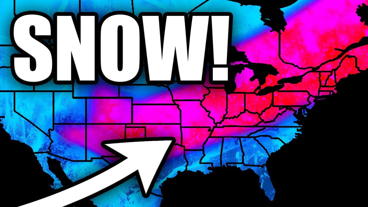
A significant pattern change is about to unfold across the United States as a powerful Arctic air mass drops southward from Canada. This upcoming pattern will feature temperature anomalies of 15-35 degrees below normal for many areas, with some locations potentially seeing subzero high temperatures. The cold air will first impact the central U.S. before spreading eastward, bringing widespread below-normal temperatures to much of the country.
This system will also bring multiple hazards, including heavy lake effect snow near the Great Lakes and potential winter weather from the Mid-Atlantic northward. The pattern shows a very amplified regime with a strong ridge over the eastern Pacific and a deep trough extending from Hudson Bay into northern Mexico.
The National Weather Service is forecasting significant impacts from this Arctic outbreak, with the coldest temperatures expected over the central High Plains. This could be one of the more notable cold outbreaks of the season, with temperatures running well below normal for an extended period.
The Y'all Squad Nonprofit: https://www.theyallsquad.org/
Official Weather Merch: https://shopryanhall.com/
-
 14:15
14:15
Ryan Hall, Y'all
10 days agoThis Winter Storm Will Be EXTREMELY Impactful...
119 -
 25:33
25:33
marcushouse
1 day ago $17.65 earnedStarship Exploded! What Went Wrong? Flight Test 7 Explained
80.1K36 -
 1:00:50
Squaring The Circle, A Randall Carlson Podcast
21 hours ago#035 Cosmic Catastrophe In The Age Of Leo - Squaring The Circle: A Randall Carlson Podcast
50.9K23 -
 1:33:14
Jamie Kennedy
1 day agoThe LA Fires...
37.2K7 -
 2:01:45
Quite Frankly
1 day ago"Inauguration Eve: Trump Time Travel Review" 1/17/25
39.4K33 -
 58:42
58:42
SGT Report
4 months agoYour REAL NEWS vs. CIA Mockingbird LIES -- Sam Anthony
167K95 -
 2:59
2:59
LimitlessAmbition
1 day ago $7.22 earnedPROVE THEM WRONG With This POWERFUL Motivation!
73K2 -
 8:31:37
G2G Gaming Channel
14 hours agoGive me my Helmet, Im going in!! #RumbleGaming
88.9K1 -
 4:45:11
MoFio23!
12 hours agoNintendo Switch It UP Saturdays with The Fellas: LIVE - Episode #3
56.4K7 -
 6:23:10
SquallRush
11 hours agoMarvel Rivals Collab
44K