Premium Only Content

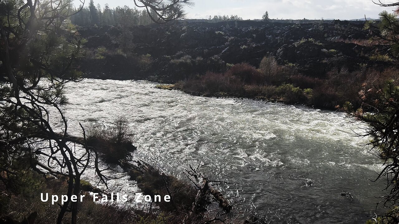
HIKING EXPLORING the Deschutes River Upper Falls Zone IN THE POURING RAIN! | Central Oregon | 4K
Chapters & Timestamps:
0:00 Arriving at the Edge of the EPIC Upper Falls Zone IN THE POURING RAIN!
0:24 Hiking Above the Upper Falls Area, a River Forest Volcanic Lava Rock Wonderland!
0:54 "Silent Perspectives" 4K Montage of 7 Unique Clips of Upper Falls & National Wild & Scenic Upper Deschutes River framed by Deschutes National Forest
In my opinion, there are about 8 Miles of PREMIUM River Shoreline Hiking on Deschutes River Trail along National Wild & Scenic Upper Deschutes River, Deschutes National Forest, Central Oregon.
This is EASILY a TOP 5 River Shoreline Hike in the Great State of Oregon! There are 3 Strategic Approaches to Capture/Tackle this EPIC area:
1) 8 Mile Point-to-Point Hike from Meadow Day Use Area to Sun-Lava Path Trailhead (called East Benham Falls Trailhead on Google Maps), in either Direction, need to arrange transportation at end of Hike!
2) 16 Mile Out & Back Hike from Meadow Day Use Area to Dillon Falls to Benham Falls to Sun-Lava Path Trailhead (called East Benham Falls Trailhead on Google Maps), in either Direction, no transportation logistics required, the Superstar Hiker Method!
3) Break Deschutes River Trail up into 2 separate more leisurely 8-Miles'ish Out & Back Hikes using Dillon Falls as the Midpoint:
a) Meadow Day Use Area Trailhead to Dillon Falls & Back.
b) Sun-Lava Path Trailhead (called East Benham Falls Trailhead on Google Maps) to Dillon Falls & Back.
On April 22, 2022, I Hiked 8 Miles Point-to-Point from Sun-Lava Path Trailhead (called East Benham Falls Trailhead on Google Maps) heading North to Benham Falls, Slough Day Use Area, Dillon Falls, Aspen Day Use Area, Big Eddy, Upper Falls, Lava Island Day Use Area, Lava Island to Meadow Day Use Area. It was a Low of 29F. Here is the FULL HIKE Video Link of that Hike:
On May 6, 2022, I Hiked 8 Miles Point-to-Point from Meadow Day Use Area Trailhead heading South to Lava Island, Lava Island Day Use Area, Upper Falls, Big Eddy, Aspen Day Use Area, Dillon Falls, Slough Day Use Area & Benham Falls to Sun-Lava Path Trailhead (called East Benham Falls Trailhead on Google Maps). It was a Low of 33F. There was a freak Hail Storm that added to the experience:
-
 0:30
0:30
HikingViking
17 days agoKayaking (4K) | A Flock of Canadian Geese in the High Desert of Central Oregon @ Lake Billy Chinook!
81 -
 1:13:37
Battleground with Sean Parnell
5 hours agoPresident Trump Is On FIRE w/ Savage Rich Baris
110K13 -
 LIVE
LIVE
Melonie Mac
1 hour agoGo Boom Live Ep 34!
483 watching -
 LIVE
LIVE
Sarah Westall
37 minutes agoTrillion Dollar 5G Lawsuit, Project Archimedes, Mind Control & DEW Weapons w/Attorney Todd Callender
456 watching -
 53:11
53:11
Standpoint with Gabe Groisman
1 day agoTrump Is Crucial For Hostage Agreement Says Israeli Colonel
9.2K3 -
 1:01:22
Anthony Pompliano
1 day ago $0.39 earnedTrump Inauguration Sends Bitcoin Flying
7.73K -
 15:21
15:21
LFA TV
8 hours agoWHY GOLD WILL CONTINUE TO SKYROCKET
3.9K1 -
 1:31:40
MTNTOUGH Fitness Lab
2 hours agoThe Power of Brotherhood: How Vulnerability and Grit Shape Resilient Men with Thosh Collins
16.3K -
 1:45:21
Redacted News
3 hours agoTRUMP JUST SENT PUTIN AN ULTIMATUM ON WAR, ZELENSKY PUSHES FOR U.S. BOOTS ON THE GROUND | Redacted
85.7K164 -
 1:02:19
In The Litter Box w/ Jewels & Catturd
23 hours agoStargate | In the Litter Box w/ Jewels & Catturd – Ep. 725 – 1/22/2025
92.1K38