Premium Only Content

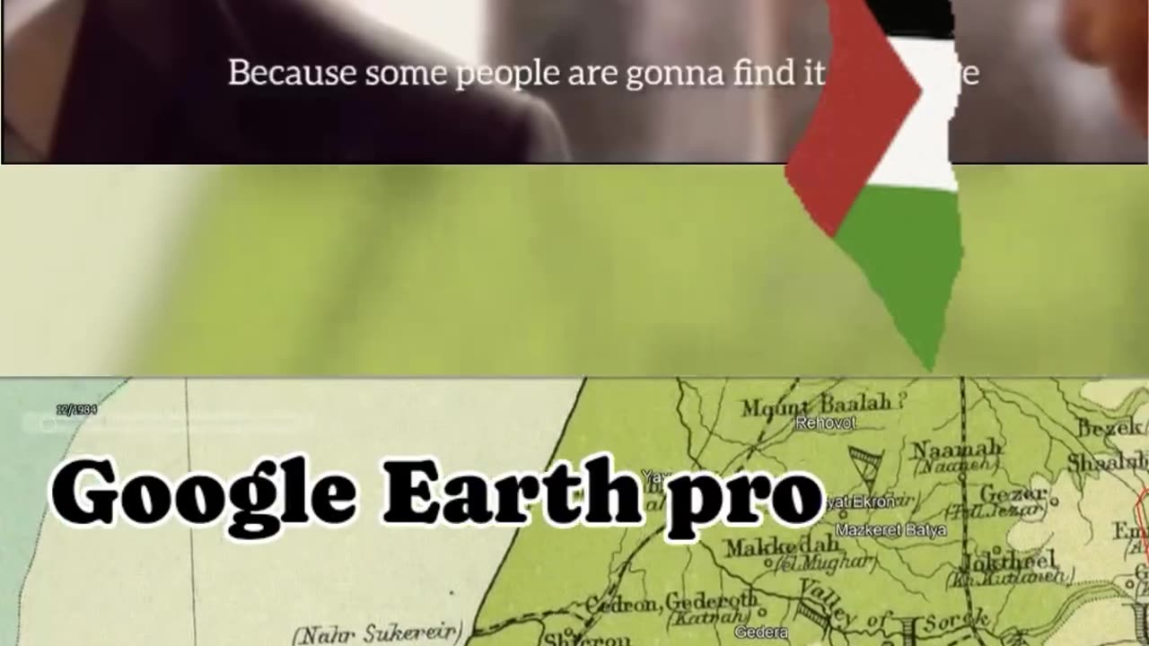
The President and the 1709 Map Controversy
إيه رأيكم في الجدل حول خريطة 1709 وخريطة جوجل إيرث برو لفلسطين من سنة 1922؟ في حلقة من مسلسل ‘The West Wing’، الرئيس بارتلت بيجادل ليه لازم يُسمح له بتعليق خريطة من سنة 1709 بتحدد المنطقة كفلسطين، رغم إن بعض الناس بيلاقوها مسيئة. هل الخرائط التاريخية لازم تأثر على وجهات نظرنا في الوقت الحالي؟ شاركونا آرائكم في التعليقات! ما تنسوش تعملوا لايك، شير، وسبسكرايب عشان تشوفوا محتوى أكتر يثير التفكير
What do you think about the controversy over the 1709 map and the 1922 Google Earth Pro map of Palestine? In an episode of ‘The West Wing,’ President Bartlet argues why he should be allowed to hang up a 1709 map that labels the region as Palestine, despite some people finding it offensive. Should historical maps influence our modern-day perspectives? Share your thoughts below! Don’t forget to like, share, and subscribe for more thought-provoking content.
الهاشتاجات: #خرائط_تاريخية #فلسطين_ضد_إسرائيل #جدل_خريطة_1709 #خريطة_1922 #جوجل_إيرث_برو #TheWestWing #الرئيس_بارتلت #الرئيس_الأمريكي #قضايا_اجتماعية #حوار_مفتوح #نسوية #حقوق_الرجال #ازدواجية_المعايير #السرديات_التاريخية #الهوية_الوطنية #جدل #خرائط #تاريخ_الشرق_الأوسط #نقاش_سياسي #حساسية_ثقافية
#HistoricalMaps #PalestineVsIsrael #1709MapControversy #1922Map #GoogleEarthPro #TheWestWing #PresidentBartlet #USPresident #SocialIssues #OpenDialogue #Feminism #MensRights #DoubleStandards #HistoricalNarratives #NationalIdentity #Controversy #Maps #MiddleEastHistory #PoliticalDebate #CulturalSensitivity
-
 3:07:41
TheNateVibez
5 hours ago#1 Streamer in Kentucky👀 - T-800 Road to Rank Domination✌ - ArmyVet🫡
41.1K -
 4:03:05
EXPBLESS
5 hours agoHAPPY FORTNITE SUB SUNDAY - SUB GOAL {8-50} #RUMBLEGAMING
31.7K2 -
 9:19
9:19
VSiNLive
1 day agoYou MUST Consider These 3-LEG PARLAYS for Super Bowl LIX!
28.3K -
 LIVE
LIVE
Scottish Viking Gaming
8 hours ago💚Rumble :|: Sunday Funday :|: If you can't Beat them...EAT THEM!!
426 watching -
 1:46:47
Game On!
23 hours ago $12.36 earnedExpert Super Bowl LIX Picks, Preview, and Best Bets!
125K16 -
 36:50
36:50
Mrgunsngear
1 day ago $24.57 earnedPresident Trump's Executive Order To The ATF: This Could Be Huge!
103K70 -
 25:48
25:48
Adam Does Movies
1 day ago $3.66 earnedTop 10 Reasons Why Emilia Pérez Is Complete TRASH!
64.9K7 -
 26:56
26:56
MYLUNCHBREAK CHANNEL PAGE
1 day agoUnder The Necropolis - Pt 6
209K53 -
 6:03
6:03
Tactical Advisor
2 days agoEverything New From Panzer Arms 2025
39.8K1 -
 1:15:59
CarlCrusher
1 day agoUFOs & Paranormal Phenomena are Not Imaginary | Dr Jim Segala MUPAS Phase 2
42.8K3