Premium Only Content

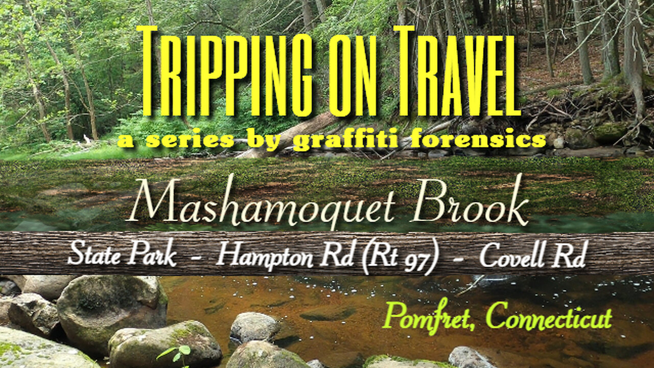
Tripping on Travel: Mashamoquet Brook, Pomfret, CT
Following my visit to Mashamoquet Brook via the State Park on June 6, 2024, I was looking at a map again and realized there may be other opportunities to get close to the brook at other locations up-stream. And then I would include footage from those locations all in one video. Subsequently, I visited a bridge crossing the brook on Hampton Rd (Rt 97) on the 21st of June, and another one on Covell Rd on the 22nd of June. But at both locations, I could not get close to the brook, nor would it have been safe to try. Each location is divided into three segments in this video. The date and location in the line at the bottom of the video changes with each segment.
I provide links to some history I found regarding the Mashamoquet settlement and how it evolved into what we now know as Pomfret. Long before the birth of a nation that would be titled the United States, early settlers were occupying, buying and selling native land in the Connecticut area and using the British pound as their currency. Most specifically, it was the rich soil of the area that attracted land barons, farmers and agricultural developers to buy and hold land. As for the brook itself, it is mentioned in the history I reference. But nothing more than that.
a Little Fantasy by Keys of Moon | https://soundcloud.com/keysofmoon
Music promoted by https://www.free-stock-music.com
Attribution 4.0 International (CC BY 4.0)
https://creativecommons.org/licenses/by/4.0/
References | Connecticut Genealogy
Early Settlement of Pomfret, CT
https://connecticutgenealogy.com/windham/pomfret_early_settlement.htm
Mashamoquet Settlement
https://connecticutgenealogy.com/windham/mashamoquet_settlement.htm
Map by Bing Maps
Other Graffiti Forensics channels and pages
http://www.youtube.com/c/GraffitiForensics
https://www.facebook.com/GForensics/
https://www.bitchute.com/channel/graffitiforensics/
-
 23:06
23:06
ErmzPlays
1 day ago $16.37 earnedThe Most BROKEN Build in Path of Exile 2: The Tempest Monk
66.3K5 -
 41:47
41:47
inspirePlay
16 hours ago $12.08 earned🏆 The Grid Championship 2024 – Martin Borgmeier vs. Sean Johnson | Battle for the Belt!
36.3K -
 17:07
17:07
Fit'n Fire
1 day ago $8.34 earnedThe IMBEL FAL 7.62x51mm Battle Rifle
27.6K2 -
 54:12
54:12
Uncommon Sense In Current Times
18 hours ago $13.15 earned"Neither Batman nor the Good Samaritan: A Christian View Of Self-Defense in the Daniel Penny Case"
26K3 -
 59:57
59:57
The Tom Renz Show
19 hours ago"Health and Health freedom - next steps"
13.6K3 -
 39:40
39:40
PMG
16 hours ago $13.24 earned"Paulo Figueiredo, Mehek Cooke, Ashley Hayek, Mark Mitchell- The Breanna Morello Show"
50.3K5 -
 3:37:41
Fresh and Fit
9 hours agoGirls React To Lily Philips Sleeping With 100 Guys
149K69 -
 27:00
27:00
Stephen Gardner
11 hours ago🔥McConnell ATTACKS Trump | HUGE Update on MILITARY DRONES mission!!
115K164 -
 8:10:03
Dr Disrespect
20 hours ago🔴LIVE - DR DISRESPECT - WARZONE - HUNTING SEASON
268K87 -
 1:32:28
Fresh and Fit
13 hours agoHow To Wholesale and Fix & Flip Real Estate!
79.8K11