Premium Only Content

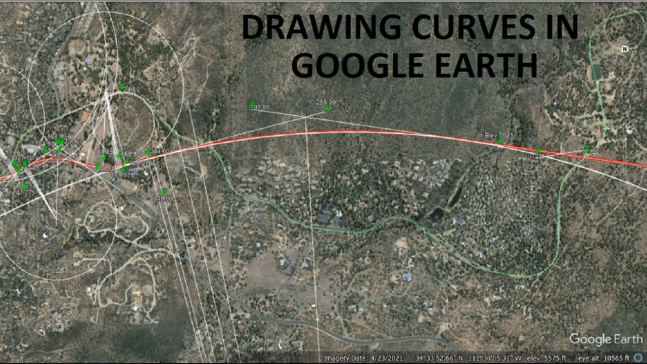
Drawing Curves And Calculating Grades In Google Earth - Prescott & Phoenix RR (Santa Fe)
Watch as I redraw curves and grope for the vertical alignment.
0:10 Locating the center line of a circle at three past the decimal
5:00 Describing the overall project suggested in this video
7:50 Describing particulars of the passenger tunnel leading to Prescott
9:40 Drawing a point-of-tangent radial line to establish curve radius
14:50 Finding the compass of the curve
15:30 Calculating location of four radial lines needed to draw a large curve with the circle tool
16:50 Drawing the next radial line
21:25 Drawing circles
31:35 Necessity of having six navigation keys
33:50 Relocating the tunnel line to the perimeter of the new circle
41:25 Examining the revised tunnel alignment
43:35 Further speculative characteristics of the line, suggested tunnel and rolling stock
45:40 Showing the intentional fudge at point of tangent which makes for a short spiral
48:50 Describing the suggested alignment under the road
49:30 Rearranging the unintentional fudging at point of curve
51:45 Describing the suggested line through Prescott and on to Prescott Valley and the Airport
55:25 Examining the suggested tunnel with an aim towards finding a grading scheme
56:40 Tunnel summit and a view of the summit station on the original line
59:00 Groping for a vertical alignment
1:24:00 The suggested vertical alignment and how to calculate grades in percent
1:31:20 Solidifying the vertical alignment between the low spot and the station
1:36:15 One further abbreviation and discussion of it
1:41:10 Outro recorded in 2024
-
 LIVE
LIVE
Game On!
12 hours agoNFL Experts Agree: Only 4 Teams Can WIN The Super Bowl This Year
1,393 watching -
 9:47
9:47
Bearing
23 hours agoABC Boss SLAMS Joe Rogan Then CRIES at Backlash 😂 "They're Demonic"
4.28K61 -
 29:48
29:48
Degenerate Jay
17 hours agoThe Fall Of Obsidian Entertainment - Unhinged Game Dev Admits To Racism?
2K3 -
 11:29
11:29
DEADBUGsays
1 day agoThe Hitchhiker Slayer | Thor Christiansen
2.2K5 -
 11:24
11:24
GBGunsRumble
13 hours agoGBGuns Armory Ep 132 BUL Armory Ultralight
1.65K5 -
 50:05
50:05
PMG
12 hours ago"Hannah Faulkner and Steve Stern | Election Integrity GOING FORWARD"
1.72K -
 41:54
41:54
Bek Lover Podcast
1 day agoHUNTER BIDEN PARDON BY DADDY & MORE NEWS!
3.37K6 -
 3:36:52
Fresh and Fit
10 hours agoDisrespectful UK 304 Gets Kicked Off For THIS...
207K191 -
 2:51:59
HELMETFIRE
9 hours agoHIDDEN BOSSES!? WE AINT DONE YET! The Last Faith
66.3K5 -
 3:08:56
PandaSub2000
3 days agoStar Wars: Outlaws | ULTRA BEST AT GAMES (Original Live Version)
52.7K7