Premium Only Content

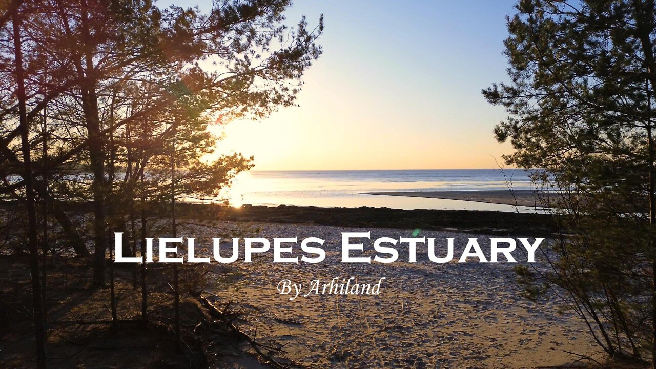
Lielupe Estuary Latvia 4K
Lielupes Grīva, Jūrmala, Vakarbuļļi, Lielupes ieteka jūrā. Устье Лиелупе.
The Lielupe River flows through the Seaside Lowlands, reaching Jurmala, where it has reached its most precious appearance, at a depth of up to 15-20m. In the stretch from Slokas to its inlet, the river is separated from the Gulf of Riga by only a 1-2 km wide strip of land. The way to the sea is crossed by dolomite and sandstone cliffs, as well as dunes, so the Lielupe River flows parallel to the sea coast for 25 km. Its current estuary in the sea was formed in the spring floods of 1755-1757 (previously, the Lielupe flowed into the Daugava via the Buļļupe). The Lielupe Estuary Meadows Nature Reserve has been located at the mouth of the Lielupe River since 2000.
Music: Gibran Alcocer - Solas
#lielupe #latvia #riga #drone #dji #nature #travel #drone4k #lielupes #estuary #sea #jurmala
-
 1:14:59
JULIE GREEN MINISTRIES
3 hours agoLIVE WITH JULIE
106K152 -
 DVR
DVR
Welcome to the Rebellion Podcast
16 hours ago $4.55 earnedMedia Lying about Pete Hegseth? - WTTR Podcast Live 4/22
26.9K20 -
 1:20:09
Game On!
17 hours ago $1.19 earnedNico Harrison didn't know Luka was IMPORTANT to Maverick FANS!
32.7K1 -
 14:23
14:23
World2Briggs
18 hours ago $4.55 earnedTop 10 Places Where Welfare Checks Are the Local Economy
61K23 -
 13:50
13:50
Clownfish TV
19 hours agoRey Movie BUMPED for Ryan Gosling's Star Wars Movie?!
48.7K12 -
 1:01:42
Kyle Fortch
13 hours ago $2.38 earned'Radio' Rodney Smith: Hosting Red Carpets, Favourite Artist Interviews, & MORE | THE ONE SHEET S1E13
33.5K2 -
 1:13:08
MTNTOUGH Fitness Lab
23 hours agoJim Burgen: The Hard Truth About Leading Men | MTNPOD#113
51.6K4 -
 37:59
37:59
BibleUnbound
20 hours agoThe Complete Story of John: The Apostle | How to Love Like Christ
31.6K13 -
 8:54
8:54
VSOGunChannel
16 hours ago $3.44 earnedBREAKING: Anti Gun Activist Megan Bennett Removed from ATF
67K19 -
 12:38
12:38
China Uncensored
17 hours agoTaiwan is DONE With China
51.8K59