Premium Only Content

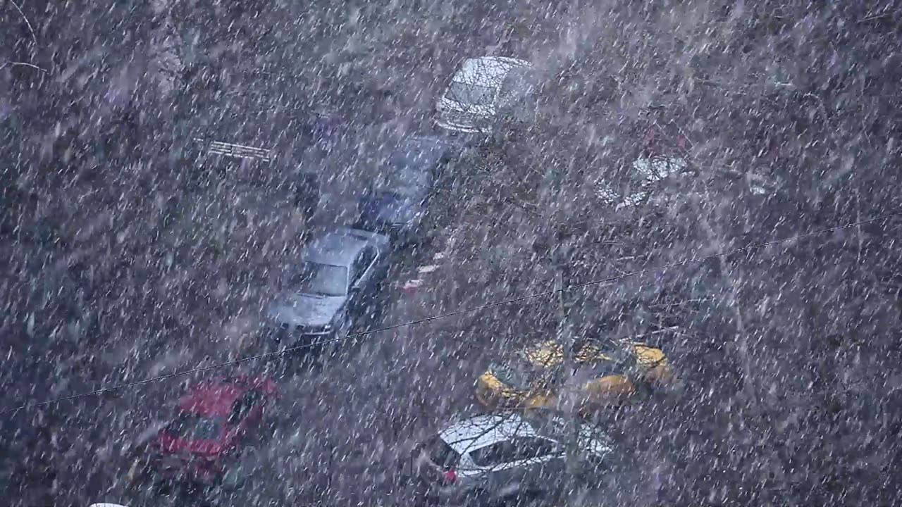
Thundersnow Storm
Thundersnow Storm
A winter weather advisory is in effect for most of the Washington, D.C. area on Friday night, as a fast-moving storm is expected to dump 2 to 6 inches of snow across the region. The snowfall could create dangerous driving conditions, especially from midnight to 5 a.m., when the heaviest snow bands could produce 1 to 2 inches of snow per hour. The storm should wind down by Saturday morning, with road conditions improving on major routes and highways.
The snowfall intensity and amount could vary across the region, depending on the location and temperature. The heaviest snow bands could reduce visibility to less than half a mile and even cause thundersnow. The northern and western zones are likely to see 3 to 5 inches of snow, while downtown D.C. and the south and east could get 2 to 4 inches, with warmer temperatures limiting the accumulation in these areas.
Roads could quickly become covered with snow and slippery, making travel risky during the early hours of Saturday. Travelers should expect possible delays and disruptions, including at airports, and check their flight status before leaving. However, the snow should begin to melt by Saturday afternoon, with temperatures rising into the 40s on Sunday, clearing much of the snow away.
The storm is considered low-end and less disruptive, but forecasters warn that the forecast could still change as new data comes in. The possibility of a “bust” or “boom” outcome in terms of snowfall amounts is also being evaluated, depending on how strong and cold the storm is.
Capital Weather Gang’s winter weather expert says that the area’s most likely to be affected by heavier snowfall are the colder locations north and west of the city, while the areas that avoid the heaviest bands could see less snow, especially the warmer locations from downtown D.C. to the south and east.
Residents should prepare for possible travel difficulties and stay informed on the latest weather alerts as the storm approaches.
-
 LIVE
LIVE
PudgeTV
7 hours ago🟡 Practical Pudge Ep 48 with "Willie Faulk" | Catching Up With Old Friends
583 watching -
 18:32
18:32
Forrest Galante
19 hours ago5 Extinct Animals That I Believe Could Still Be Alive...
125K30 -
 DVR
DVR
Major League Fishing
3 days agoLIVE! - General Tire Team Series: Summit Cup - Day 1
90.1K2 -
 7:05:23
Hevel Gaming
22 hours ago $67.80 earnedNCAAF Tennessee at Georgia While with Heroes of Might and Magic III & Helldivers 2
211K23 -
 6:34:08
MissesMaam
20 hours agoI'm Addicted | Sons of the Forest 💚✨
159K30 -
 11:22:12
a12cat34dog
23 hours agoALMOST HAVE ALL GUNS DIAMOND :: Call of Duty: Black Ops 6 :: SO MANY ZOMBIES CAMOS {18+}
96K4 -
 3:32:31
United Fight League
1 day agoUFC 309 Watch Party w/ Rampage Jackson, Maycee Barber, Demi Bagby, and Harrison Rogers
232K40 -
 2:35:52
Jewels Jones Live ®
1 day agoELECTION OVER - LIES CONTINUE | A Political Rendezvous - Ep. 100
114K78 -
 3:59:18
GamerGril
1 day agoPAGING ALL ZOMBOIZ | DEAD ISLAND 2
218K22 -
 42:24
42:24
MYLUNCHBREAK CHANNEL PAGE
1 day agoA Century Gone
219K147