Premium Only Content

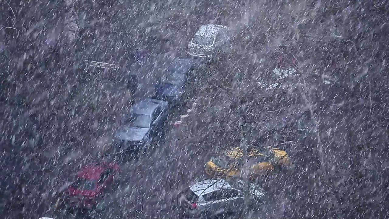
Thundersnow Storm
Thundersnow Storm
A winter weather advisory is in effect for most of the Washington, D.C. area on Friday night, as a fast-moving storm is expected to dump 2 to 6 inches of snow across the region. The snowfall could create dangerous driving conditions, especially from midnight to 5 a.m., when the heaviest snow bands could produce 1 to 2 inches of snow per hour. The storm should wind down by Saturday morning, with road conditions improving on major routes and highways.
The snowfall intensity and amount could vary across the region, depending on the location and temperature. The heaviest snow bands could reduce visibility to less than half a mile and even cause thundersnow. The northern and western zones are likely to see 3 to 5 inches of snow, while downtown D.C. and the south and east could get 2 to 4 inches, with warmer temperatures limiting the accumulation in these areas.
Roads could quickly become covered with snow and slippery, making travel risky during the early hours of Saturday. Travelers should expect possible delays and disruptions, including at airports, and check their flight status before leaving. However, the snow should begin to melt by Saturday afternoon, with temperatures rising into the 40s on Sunday, clearing much of the snow away.
The storm is considered low-end and less disruptive, but forecasters warn that the forecast could still change as new data comes in. The possibility of a “bust” or “boom” outcome in terms of snowfall amounts is also being evaluated, depending on how strong and cold the storm is.
Capital Weather Gang’s winter weather expert says that the area’s most likely to be affected by heavier snowfall are the colder locations north and west of the city, while the areas that avoid the heaviest bands could see less snow, especially the warmer locations from downtown D.C. to the south and east.
Residents should prepare for possible travel difficulties and stay informed on the latest weather alerts as the storm approaches.
-
 LIVE
LIVE
Vigilant News Network
4 hours agoBill Gates’ New Bioterror Project Exposed | Media Blackout
1,482 watching -
 LIVE
LIVE
Barry Cunningham
23 hours agoWATCH LIVE: TRUMP INAUGURATION MAKE AMERICA GREAT AGAIN VICTORY RALLY - 1 DAY TO GO!!
1,633 watching -
 8:36
8:36
China Uncensored
7 hours agoIs China’s EV Industry Collapsing?
127K93 -
 4:17:00
Tundra Tactical
23 hours ago $21.28 earnedSHOT SHOW 2025!!!!!! Whats Are We Looking Forward To Most
180K18 -
 22:53
22:53
Film Threat
1 day agoA TRIBUTE TO VISIONARY DIRECTOR DAVID LYNCH | Film Threat News
62.3K8 -
 20:30
20:30
Exploring With Nug
1 day ago $5.03 earnedMissing Father of 2 FOUND Underwater In Shallow Pond!
48.2K10 -
 19:19
19:19
This Bahamian Gyal
1 day agoThe View PRAISES Michelle Obama for DITCHING TRUMP inauguration, "when they go LOW, go even LOWER"
41K46 -
 14:25
14:25
Degenerate Jay
23 hours ago $7.79 earnedThe Flash Movie Failed Because People Hate The Character? Sure.
133K17 -
 28:30
28:30
CharLee Simons Presents Do Not Talk
6 days agoSam Anthony from YourNews.com (with host CharLee Simons)
79.6K4 -
 52:34
52:34
PMG
20 hours ago $3.97 earnedHannah Faulkner and Steve Friend | EXPOSE THE FBI CORRUPTION - KASH PATEL
56.3K8