Premium Only Content

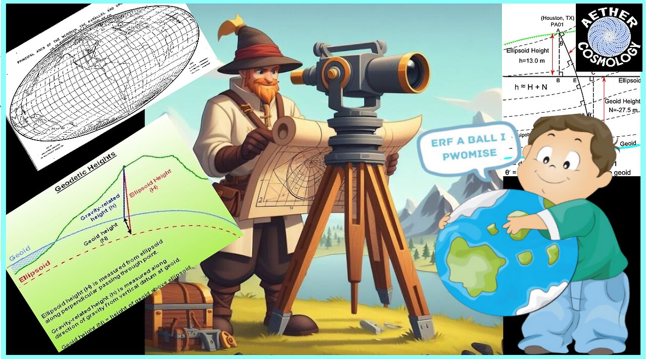
Geodetic Surveying, Spherical Excess and Reciprocal zenith Angles live 7pm est
Geodetic Surveying, Spherical Excess and Reciprocal zenith Angles Destroyed - Presented by Shane
Library of Resources:
GEODETIC SURVEYOR CONCEDES DEFEAT IN A DEBATE
https://www.bitchute.com/video/QIbLTiwoCz5U/
"CALCULATION OF DEFLECTION OF THE VERTICAL COMPONENTS: ANALYZING THE GPS, LEVELLING MEASUREMENTS AND THEIR DISTRIBUTION GEOMETRY."
"The Commonwealth of Massachusetts Survey Manual Massachusetts Highway Department."
"EVALUATION OF THE PLUMB LINE CURVATURE EFFECT ON THE DEFLECTION OF THE VERTICAL."
"The first measurement of the deflection of the vertical in longitude."
Highway Surveying Manual.
"Monitoring of the refraction coefficient in the lower atmosphere using a controlled setup of simultaneous reciprocal vertical angle measurements."
" The Transcontinental Triangulation and the American arc of the Parallel
".
"THE USE AND ABUSE OF VERTICAL DEFLECTIONS ".
D. Basil, D., et al. (2021). "Determination of Deflection of the Vertical Components: Implications on Terrestrial Geodetic Measurement." Trends Journal of Sciences Research 1(1): 36-49.
The deflection of the vertical is an important parameter that combines both physical (astronomic) and geometric (geodetic) quantities. It is critical in such areas as datum transformation, reduction of astronomic observation to the geodetic reference surface, geoid modelling and geophysical prospecting. Although the deflection of the vertical is a physical property of the gravitational field of the earth; which almost all terrestrial survey measurements, with the exception of spatial distances, made on the earth surface are with respect to the Earth’s gravity vector, because a spirit bubble is usually used to align survey instruments. It has been ignored in most geodetic computation and adjustment. This research work is therefore aimed at computing the component of the deflection of the vertical component for part of Rivers State using a geometric method. This method involves the integration of Global Positioning System (GPS) to obtain the geodetic coordinate of points, precisely levelling to obtain the orthometric height of this point located within the study area. By least square using MATLAB program, the estimated deflections of vertical component parameters for the test station SVG/GPS-002 were; -0.0473” and 0.0393” arc seconds for the north-south and east-west components respectively. The associated standard errors of the North-south and East-west components were ±0.0093” and ±0.0060” arc seconds, respectively. The deflection of the vertical was also computed independently from gravimetric models of the earth as: ξ = 0.0204” ±0.0008814”, η = -0.0345” ±0.0014”; ξ =0.0157” ±0.000755”, η = -0.0246” ±0.0012”; ξ = -0.0546±0.0006014, η = -0.0208±0.0006014 for EGM 2008, EGM 1996 and EGM 1984 respectively. The two-tailed hypothesis test reveals that the estimated deflection component is statistically correct at 95% confidence interval. It was observed that the effect of the deflection of the vertical is directly proportional to the distance of the geodetic baseline. Therefore, including the derived component of deflection of the vertical to the ellipsoidal model will yield high observational accuracy since an ellipsoidal model is not tenable due to its far observational error in the determination of high-quality job. It is important to include the determined deflection of the vertical component for Rivers State, Nigeria
Suk, T. and M. Štroner (2021). "The impact of the air temperature on measuring the zenith angle during the year in the ground layer of the atmosphere for the needs of engineering surveying." Acta Polytechnica 61(3): 476-488.
Vittuari, L., et al. (2016). "A Comparative Study of the Applied Methods for Estimating Deflection of the Vertical in Terrestrial Geodetic Measurements." Sensors (Basel) 16(4).
This paper compares three different methods capable of estimating the deflection of the vertical (DoV): one is based on the joint use of high precision spirit leveling and Global Navigation Satellite Systems (GNSS), a second uses astro-geodetic measurements and the third gravimetric geoid models. The working data sets refer to the geodetic International Terrestrial Reference Frame (ITRF) co-location sites of Medicina (Northern, Italy) and Noto (Sicily), these latter being excellent test beds for our investigations. The measurements were planned and realized to estimate the DoV with a level of precision comparable to the angular accuracy achievable in high precision network measured by modern high-end total stations. The three methods are in excellent agreement, with an operational supremacy of the astro-geodetic method, being faster and more precise than the others. The method that combines leveling and GNSS has slightly larger standard deviations; although well within the 1 arcsec level, which was assumed as threshold. Finally, the geoid model based method, whose 2.5 arcsec standard deviations exceed this threshold, is also statistically consistent with the others and should be used to determine the DoV components where local ad hoc measurements are lacking.
-
 2:06:49
Anti-Disinfo League
18 days agoTikTok Home Games - Aether Cosmology 2.6.25
607 -
 LIVE
LIVE
Russell Brand
40 minutes agoControl Slipping: Germany’s Vote, Ukraine, Apple, and Joy Reid – SF543
4,914 watching -
 LIVE
LIVE
Winston Marshall
21 minutes ago“They Were Hiding THIS!” Michael Shellenberger UNCOVERS Dark Secret About USAID and The Deep State
638 watching -
 LIVE
LIVE
Michael Franzese
23 hours agoAmerica’s Biggest Issues EXPOSED by Tomi Lahren
720 watching -
 55:46
55:46
The Dan Bongino Show
3 hours agoChange Is Coming, And All The Right People Are Panicking (Ep. 2430) - 02/25/2025
382K1.12K -
 1:11:08
The Rubin Report
1 hour agoTimothée Chalamet Stuns Crowd with Speech Pushing This Conservative Value
9.01K11 -
 LIVE
LIVE
Benny Johnson
1 hour ago🚨Deep State DESTROYING Evidence!? FBI Caught DELETING Files, Epstein List COVERUP | Investigate NOW
13,020 watching -
 2:00:34
Steven Crowder
3 hours ago🔴 False Reality: What Joy Reid's Firing Exposes About The Left
240K207 -
 1:34:39
Tucker Carlson
23 hours agoLuke Gromen: Why the CIA Doesn’t Want You Owning Gold, & Is Fort Knox Lying About Our Gold Reserve?
113K193 -
 1:03:56
Timcast
2 hours agoRachel Maddow SLAMS MSNBC As RACIST For Firing Joy Reid, Liberal Media HAS COLLAPSED | Timcast LIVE
50.9K41