Premium Only Content

Unveiling Earth's Canvas: Landsat 9 Data Now Accessible!
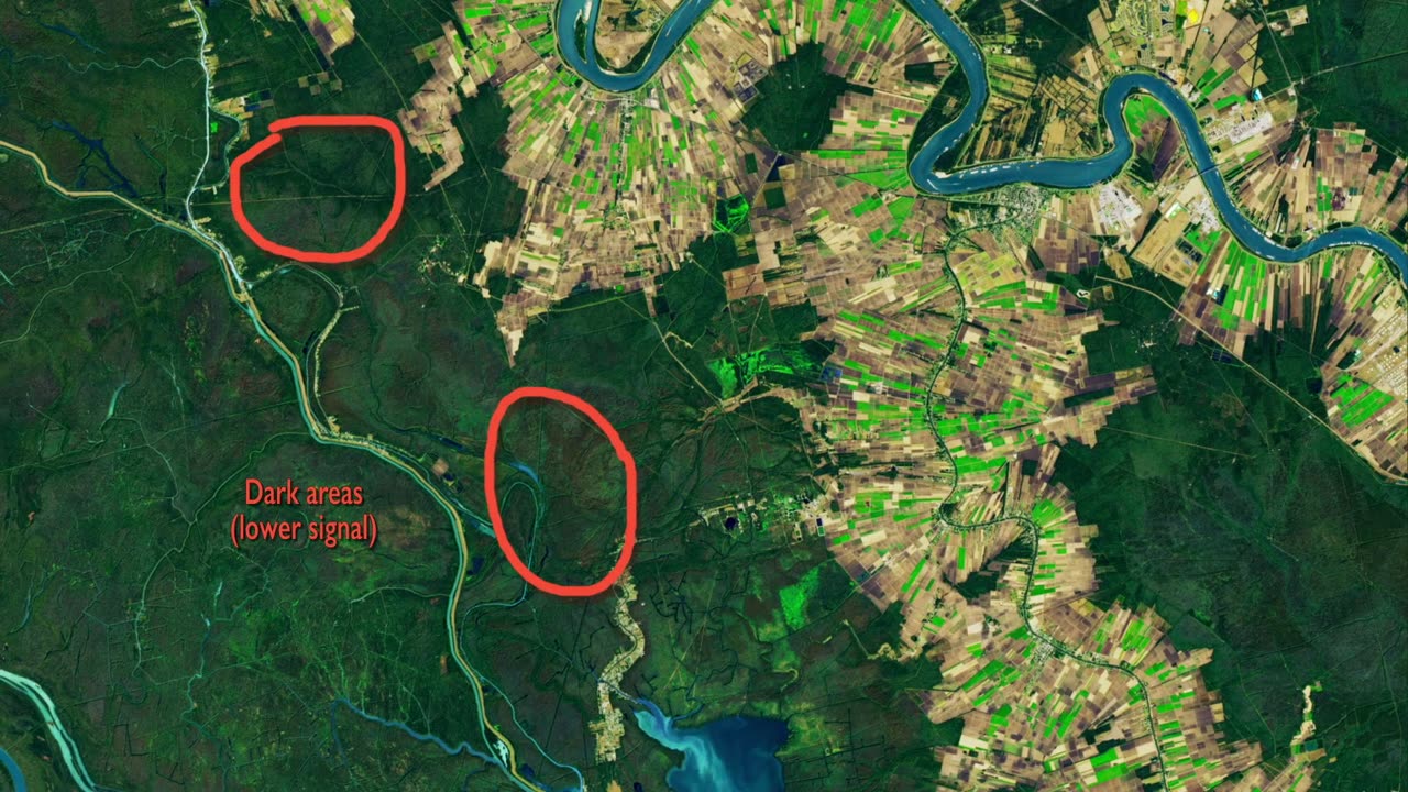
Dive into the wealth of knowledge about our planet with the availability of Landsat 9 data for download! Launched on Sept. 27, 2021, Landsat 9, alongside its predecessor Landsat 8, promises a treasure trove of high-quality, medium-resolution images of Earth's landscapes and coastal regions every eight days.
Join the Landsat mission team on their journey of testing and calibrating the new satellite and its instruments. Witness commissioning activities, including a unique flyby under its sister satellite, Landsat 8, confirming precise data alignment. Calibration techniques, such as tilting the spacecraft to capture the full Moon, ensure the instruments consistently detect light.
Managed jointly by NASA and the U.S. Geological Survey (USGS), the Landsat Program has been a stalwart observer of Earth since 1972, continually enhancing our understanding of the planet's dynamic changes. Explore, download, and contribute to the ever-growing legacy of Earth observation with Landsat 9! #Landsat9Launch #EarthObservation #LandsatLegacy #Landsat9Data
-
 24:19
24:19
Adam Carolla
21 hours agoDiddy’s Legal Drama Escalates, Smuggler Caught Hiding WHAT? + Philly Eagles & The White House #news
40.7K5 -
 10:12
10:12
Mike Rowe
2 days agoClint Hill: What A Man. What A Life. | The Way I Heard It with Mike Rowe
43.7K6 -
 1:31:52
Redacted News
5 hours agoBOMBSHELL! This is war! FBI whistleblowers reveal Epstein files being destroyed? | Redacted News
128K312 -
 48:55
48:55
Candace Show Podcast
5 hours agoSTOP EVERYTHING. They FINALLY Mentioned ME In The Blake Lively Lawsuit! | Candace Ep 152
115K108 -
 1:02:51
In The Litter Box w/ Jewels & Catturd
1 day agoWhere are the Epstein Files? | In the Litter Box w/ Jewels & Catturd – Ep. 750 – 2/26/2025
86.1K80 -
 1:59:06
Revenge of the Cis
6 hours agoLocals Episode 198: Suits
74.9K10 -
 1:38:56
SLS - Street League Skateboarding
1 day agoTop Moments from the Second Half of the 2024 SLS Championship Tour! All The 9’s 🔥
51.2K1 -
 24:22
24:22
Breaking Points
9 hours agoHouse GOP RAMS THROUGH Medicaid Cuts
55.5K36 -
 1:24:15
The Quartering
8 hours agoRep. Swalwell's VIRAL Confrontation, Jeff Bezos Op-Ed Announcement, and Canada's Anti-Musk Campaign
118K33 -
 1:22:57
Tucker Carlson
11 hours agoNancy Pelosi Stock Tracker Chris Josephs: How to Get Rich by Investing Like a Politician
164K75