Premium Only Content

October 17, 2023
Can you get a more unique view of @yosemitenps than from space? 🏞️🛰️
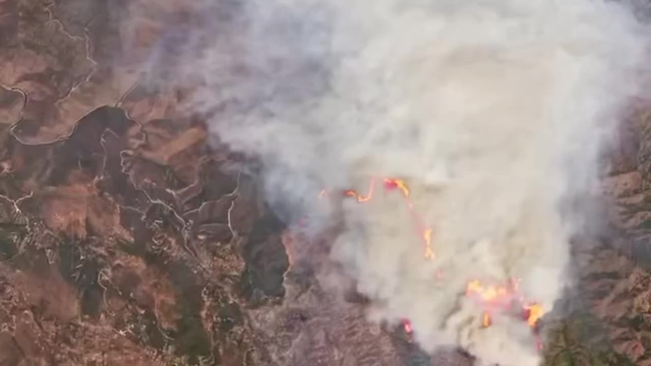
@nationalparkservice forest ecologist Garrett Dickman uses @nasaearth satellite observations to understand large changes to Yosemite’s landscape, like from drought and wildfires, and monitor plant health across large areas. Seeing Yosemite from space allows him to monitor large areas of the Park and find the best way to take care of Yosemite’s Giant Sequoias, some of which have stood for thousands of years! 🌲
This #NationalPublicLandsDay, learn how NASA satellite data helps preserve some of America’s most beautiful landscapes.
Video Description:
Wearing an official National Park Service gray and green uniform and wide-brimmed hat, a male park ranger stands in front of Yosemite Falls. While looking at the camera, he explains how Yosemite National Park uses NASA satellite data to help take care of the forest. Behind him, water cascades down a mountainside and into a river. The surrounding landscape features clear blue skies, green grass, and lush trees swaying in the wind. The video alternates between shots of Garrett talking, iconic locations in Yosemite National Park such as Half Dome, Giant Sequoia trees, satellite images of wildfire and vegetation health in the park, and more.
-
 2:34:48
Laura Loomer
5 hours agoEP112: MS-13 EVICTED By President Trump
35.4K19 -
 2:53:28
Toolman Tim
3 hours agoCommunity Gaming Night!! | Among Us
15.1K -
 2:34:47
GamerGril
3 hours agoMost Dangerous Gril This Side Of The Mississippi
13.9K -
 3:44:43
ZWOGs
4 hours ago🔴LIVE IN 1440p! - FiveM Fridays!! GTAV RP!! | Dwindle Digby | - Come Hang Out!
11.8K -
 2:05:43
TimcastIRL
6 hours agoTrump Admin Notifies Congress USAID Is CLOSED, Fires EVERYONE, ITS OVER w/Dan Holloway | Timcast IRL
205K131 -
 51:18
51:18
Man in America
9 hours agoClear Skies Coming? States Rally to Ban Geoengineering as RFK Jr. Calls Out ‘Toxic Dousing'
35.8K58 -
 2:22:55
BlackDiamondGunsandGear
10 hours agoThe time is NOW! / EDC / Preps / Load Out
15.1K -
 LIVE
LIVE
AirCondaTv Gaming
5 hours ago $0.47 earnedR.E.P.O. - Tonigth's Gonna Be a Good Night (Collab)
44 watching -
 2:03:06
Ninety7Bravo
5 hours ago🔴 LIVE | My First Look | Atomfall | 28 Mar 2025
16.9K -
 6:35:28
EnDuEnDo
8 hours agoGreaseMonkeyEddie On Duty In Fivem!!
19.9K1