Premium Only Content

SWOT_ Earth Science Satellite Will Help Communities Plan for a Better Future
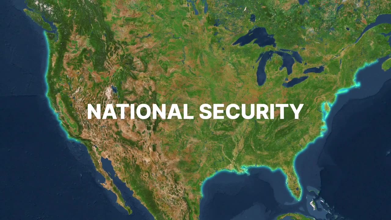
In the realm of cutting-edge Earth science, the SWOT (Surface Water and Ocean Topography) satellite stands as a beacon of innovation and promise. Designed with the future in mind, SWOT represents a groundbreaking advancement in satellite technology that is poised to revolutionize our understanding of Earth's water bodies.
SWOT's primary mission is to meticulously measure the world's oceans, lakes, and rivers with unprecedented precision. By employing advanced radar altimetry, this state-of-the-art satellite can detect subtle changes in water levels, mapping the complex dynamics of Earth's water surfaces with unparalleled accuracy.
This precision is not merely a scientific achievement; it is a vital tool for communities worldwide, offering invaluable insights for strategic planning and sustainable development. SWOT's data will be a game-changer for communities seeking to manage water resources, plan infrastructure, and mitigate the impacts of climate change.
-
 1:06:12
Flyover Conservatives
1 day agoJ6: A True Timeline Documentary - In Honor of the 4 Year Anniversary of January 6 | FOC Show
51.3K13 -
 1:08:03
Donald Trump Jr.
16 hours agoJanuary 6th: More to Uncover, Live with Rep Loudermilk & Darren Beattie | TRIGGERED Ep.205
238K279 -
 1:00:48
The StoneZONE with Roger Stone
9 hours agoJustin Trudeau Throws In The Towel! w/ Canadian Hockey Legend Theo Fluery | The StoneZONE
83.2K24 -
 1:18:37
We Like Shooting
19 hours ago $2.56 earnedDouble Tap 391(Gun Podcast)
50.3K1 -
 2:32:43
FreshandFit
19 hours agoAndrew Wilson VS Gary The Numbers Guy Astrology & Numerology Debate!
130K77 -
 9:22:40
Dr Disrespect
17 hours ago🔴LIVE - DR DISRESPECT - TRIPLE THREAT CHALLENGE - RIVALS, PUBG, WARZONE
230K44 -
 1:15:03
Dad Dojo Podcast
16 hours ago $1.65 earnedEP16: Parenting: Then vs Now
43.5K -
 53:58
53:58
Sarah Westall
10 hours agoBlack Pilled vs Learning Reality and Maintaining Perspective, AI Reality w/ Johnny Vedmore
66.1K4 -
 55:01
55:01
LFA TV
1 day agoJan. 6, 2021, vs. Jan. 6, 2025 | TRUMPET DAILY 1.6.25 7pm
43.6K2 -
 1:19:27
The Big Mig™
1 day agoLimitless Health with Calley Means
56.6K8