NASA’s STAQS mission is mapping air pollution in 3D across several megacities:
1 year ago
38
From city street to stratosphere 🏙️🛫🛰️
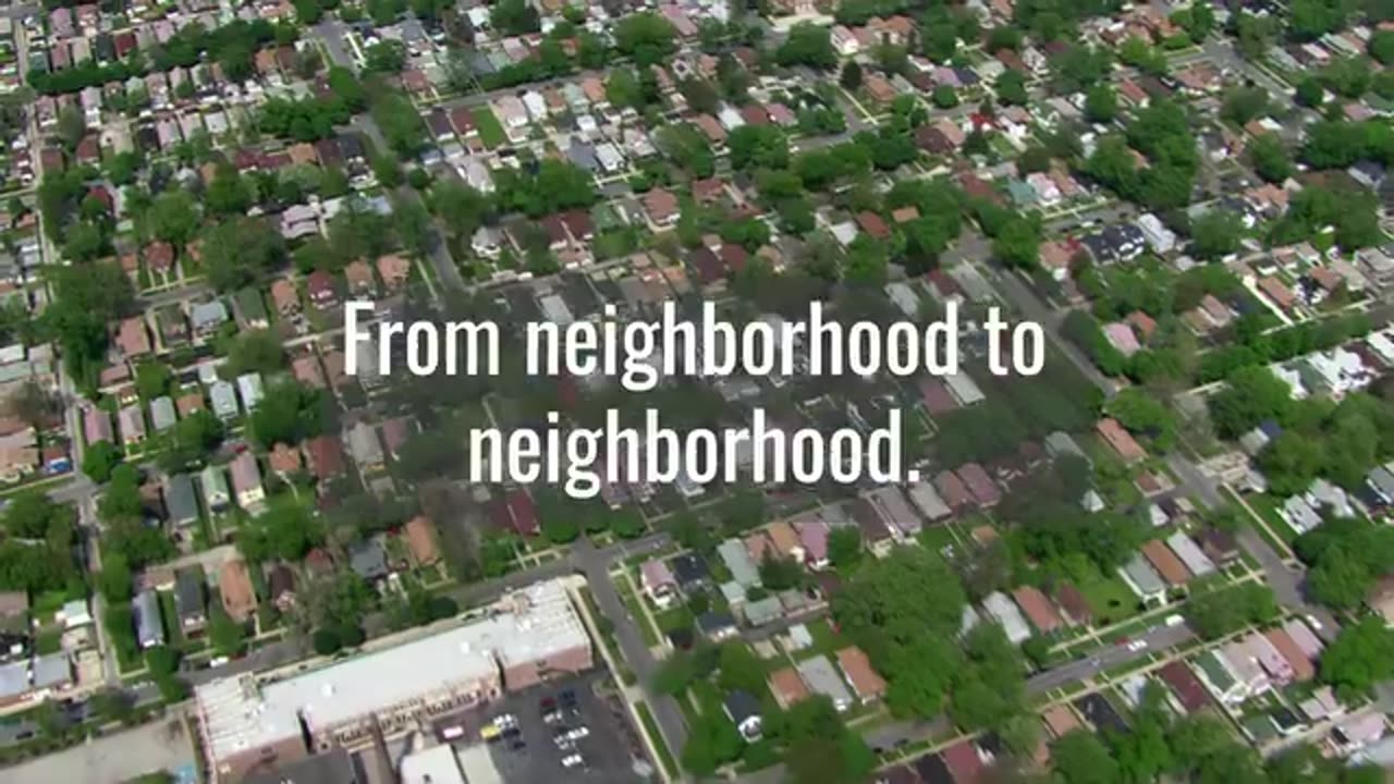
This summer, NASA’s STAQS mission is mapping air pollution in 3D across several megacities: New York City, Chicago, Los Angeles and Toronto. The goal is to map air pollutants from the ground to the upper troposphere, track where they come from and how they change hour by hour, and identify neighborhoods disproportionately exposed to unhealthy air.
The data STAQS collects will complement the new measurements from NASA’s TEMPO satellite, which measures hourly daytime air pollution over North America. TEMPO launched in April 2023.
Loading comments...
-
 2:04:52
Kim Iversen
5 hours agoElon's Pumping Out Babies Like They're Tesla Model 3's | EU Panics Over Peace Talks, Wants More War
56.9K76 -
 DVR
DVR
Man in America
8 hours agoFort Knox & Trump’s Secret Gold Move—The Financial Reset NO ONE Is Ready For?
14.7K10 -
 2:21:20
Robert Gouveia
5 hours agoTrump Goes to SCOTUS! Judge CAVES on DOGE? Fani Willis Not Happy!
55.6K16 -
 20:41
20:41
Stephen Gardner
5 hours ago🔥You Won't BELIEVE What JUST Happened To Don Trump Jr.!!
55.6K113 -
 58:00
58:00
The StoneZONE with Roger Stone
3 hours agoEuropean Leaders Resist Trump Peace Overtures To Their Own Demise | The StoneZONE w/ Roger Stone
32.7K5 -
 9:29
9:29
AlaskanBallistics
5 hours ago $0.15 earnedWyoming Suppressors and Rifles at Shot Show 2025
28.9K2 -
 1:06:40
Donald Trump Jr.
9 hours agoThe Left is Taking one L After Another, Live with Michael Knowles | Triggered Ep. 217
127K95 -
 47:17
47:17
Kimberly Guilfoyle
8 hours agoWoke Gets DOGE’d, Live with AJ Rice & Jarrett Stepman | Ep. 197
94.5K40 -
 20:11
20:11
Candace Show Podcast
7 hours agoBecoming Brigitte: Candace Owens x Xavier Poussard | Ep 6
147K292 -
 8:25:38
Dr Disrespect
12 hours ago🔴LIVE - DR DISRESPECT - ELDEN RING DLC - REVENGE
167K20