Premium Only Content

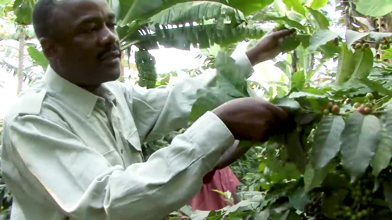
NASA Joins Jane Goodall to Conserve Chimpanzee Habitats-4K-NASA OFFICAL
1
2
Earth-observing satellites like Landsat have documented the shrinking of chimpanzee habitat in Africa's equatorial forest belt. The Jane Goodall Institute (JGI) is using satellite data to empower local communities to drive conservation on their own land by creating habitat suitability maps for chimpanzees.
Mobile apps are also being used to bring in data in real-time so that communities can protect their village forest reserves and create land use plans for watersheds, people, and chimpanzees.
After years of forest loss, the last few decades have seen habitats recovering.
Here is an elaboration of the article:
How JGI is using satellite data to empower local communities
JGI is working with NASA and other partners to use satellite data to create habitat suitability maps for chimpanzees. These maps show areas that are most likely to be suitable for chimpanzee habitat, based on factors such as forest cover, elevation, and proximity to water and food sources.
JGI then shares these maps with local communities and helps them to develop conservation plans. These plans may include activities such as planting trees, restoring degraded forests, and reducing poaching.
Mobile apps are also being used to bring in data in real-time. For example, JGI has developed an app called Chimpanzee Tracker, which allows community members to report sightings of chimpanzees and other wildlife. This data is used to monitor chimpanzee populations and identify areas where conservation efforts are needed.
Conservation dashboards
JGI has also developed conservation dashboards, which provide real-time data on forest loss, chimpanzee sightings, and other factors. These dashboards are used by JGI staff and community members to track the progress of conservation efforts and make informed decisions about where to allocate resources.
Habitat recovery
After years of forest loss, the last few decades have seen habitats recovering in some areas. This is thanks to the hard work of conservation organizations like JGI and the local communities they work with.
The use of satellite data and mobile apps is helping to empower local communities to drive conservation on their own land. This is essential for protecting chimpanzees and their habitats in the long term.
-
 1:01:00
Talk Nerdy 2 Us
8 hours ago💻 From ransomware to global regulations, the digital battlefield is heating up!
24.7K -
 3:00:24
I_Came_With_Fire_Podcast
11 hours agoHalf the Gov. goes MISSING, Trump day 1 Plans, IC finally tells the Truth, Jesus was NOT Palestinian
42.7K23 -
 4:11:49
Nerdrotic
13 hours ago $35.80 earnedThe Best and Worst of 2024! Sony Blames Fans | Batman DELAYED | Nosferatu! |Friday Night Tights 334
173K29 -
 7:55:51
Dr Disrespect
17 hours ago🔴LIVE - DR DISRESPECT - WARZONE - SHOTTY BOYS ATTACK
224K32 -
 1:30:23
Twins Pod
16 hours agoHe Went From MARCHING With BLM To Shaking Hands With TRUMP! | Twins Pod - Episode 45 - Amir Odom
138K30 -
 1:02:30
Exploring With Nug
18 hours ago $4.01 earned2 Duck Hunters Missing After Kayak Capsizes!
63.6K4 -
 46:48
46:48
Mally_Mouse
11 hours agoLet's Hang!! -- Opening Christmas gifts from YOU!
72.3K1 -
 44:55
44:55
Athlete & Artist Show
20 days ago $2.06 earnedNHL 4 Nations Snubs, Was Hawk Tuah Coin A Scam?
69.4K -
 33:47
33:47
Stephen Gardner
17 hours ago🔥Pentagon Whistleblower UNLEASHES on Biden and Obama!
125K270 -
 2:20:30
The Dilley Show
18 hours ago $28.60 earnedRoger Stone in Studio plus Q&A Friday! w/Author Brenden Dilley 12/27/2024
102K22