Premium Only Content

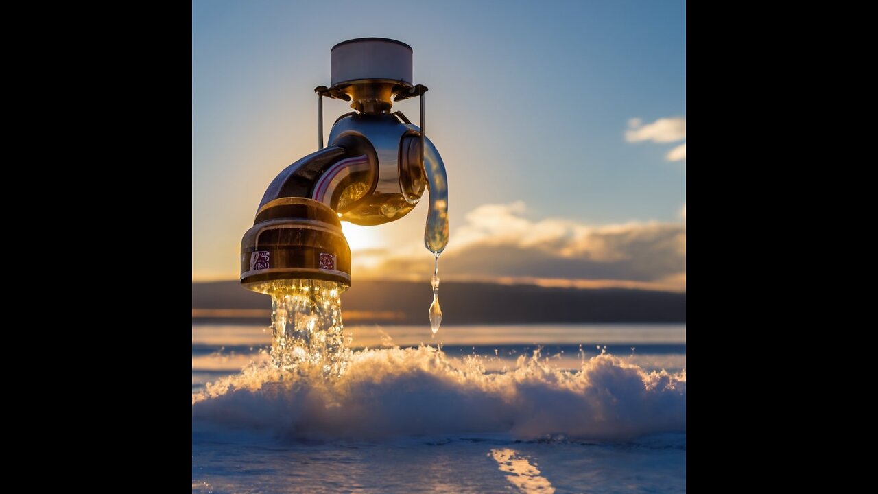
SWOT Earth Science Satellite: Mapping Our Planet's Water for a Sustainable Future
Discover how the Surface Water and Ocean Topography (SWOT) mission, led by NASA and the French space agency CNES, is revolutionizing our understanding of Earth's water resources. This groundbreaking mission measures water heights in lakes, rivers, reservoirs, and oceans, offering critical insights into water distribution amidst accelerating climate change. Watch as experts from various fields share how SWOT data is being used to enhance flood forecasts, monitor drought conditions, protect infrastructure, and bolster national security.
Explore real-world applications in Portland, Oregon, Fern Ridge Lake, Alaska, the Department of Defense, and the Mississippi River Delta. SWOT's invaluable data is aiding water management agencies, civil engineers, disaster preparedness teams, and more in planning for a resilient future.
SWOT is set to launch from Vandenberg Space Force Base in California in December 2022, marking a collaborative effort between NASA, CNES, the Canadian Space Agency, and the UK Space Agency, with JPL leading the U.S. component.
For further details about this mission, visit: https://swot.jpl.nasa.gov/
-
 59:44
59:44
PMG
1 day ago $0.16 earned"BETRAYAL - Johnson's New Spending Bill EXPANDS COVID Plandemic Powers"
16.5K -
 6:48:50
Akademiks
12 hours agoKendrick Lamar and SZA disses Drake and BIG AK? HOLD UP! Diddy, Durk, JayZ update. Travis Hunter RUN
141K18 -
 11:45:14
Right Side Broadcasting Network
9 days agoLIVE REPLAY: TPUSA's America Fest Conference: Day Three - 12/21/24
321K28 -
 12:19
12:19
Tundra Tactical
12 hours ago $11.79 earnedDaniel Penny Beats Charges in NYC Subway Killing
49.1K10 -
 29:53
29:53
MYLUNCHBREAK CHANNEL PAGE
1 day agoUnder The Necropolis - Pt 1
141K51 -
 2:00:10
Bare Knuckle Fighting Championship
3 days agoCountdown to BKFC on DAZN HOLLYWOOD & FREE LIVE FIGHTS!
51.6K3 -
 2:53:01
Jewels Jones Live ®
1 day agoA MAGA-NIFICENT YEAR | A Political Rendezvous - Ep. 103
138K36 -
 29:54
29:54
Michael Franzese
16 hours agoCan Trump accomplish everything he promised? Piers Morgan Article Breakdown
127K55 -
 2:08:19
Tactical Advisor
20 hours agoThe Vault Room Podcast 006 | Farwell 2024 New Plans for 2025
194K11 -
 34:12
34:12
inspirePlay
1 day ago $5.84 earned🏆 The Grid Championship 2024 – Cass Meyer vs. Kelly Rudney | Epic Battle for Long Drive Glory!
92.6K8