Premium Only Content

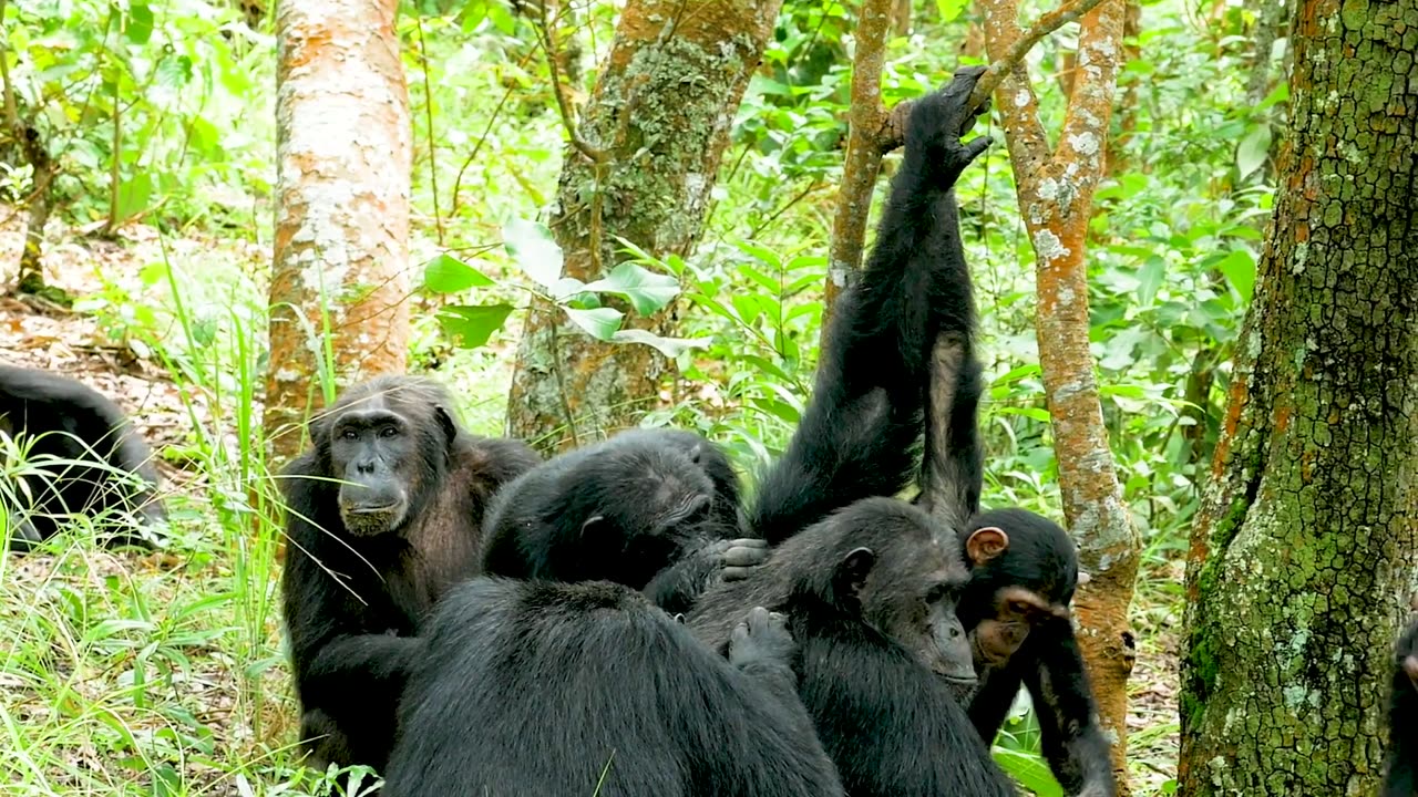
NASA Joins Jane Goodall to Conserve Chimpanzee Habitats
Earth-observing satellites like Landsat have documented the shrinking of chimpanzee habitat, Africa's equatorial forest belt. The Jane Goodall Institute uses Landsat and other satellite data to empower local communities to drive conservation on their own land by creating habitat suitability maps for chimpanzees.
Mobile apps also bring in data in real-time so communities can protect their village forest reserves, and create land use plans for watersheds, people, and chimpanzees. After years of forest loss, the last few decades have seen habitats recovering.
https://www.nasa.gov/image-feature/jo...
Credits:
Conservation dashboards created with support from NASA, The University of Maryland, Esri, Maxar, and the US Agency for International Development
Video footage Courtesy of Jane Goodall Institute/Lilian Pintea
-
 LIVE
LIVE
TimcastIRL
2 hours agoTrump Orders DOJ To FIRE EVERY Biden Attorney, Calls For CLEAN HOUSE w/Siaka Massaquoi | Timcast IRL
12,408 watching -
 1:29:31
Glenn Greenwald
5 hours agoGermany's Repressive Speech Crackdown Intensifies; U.S. & Russia Meet in Saudi Arabia and Open Cooperation; Plus: An Amazing Hate Crime in Florida is Buried | SYSTEM UPDATE #408
51.5K34 -
 1:30:48
Redacted News
6 hours agoBREAKING! TRUMP AND PUTIN NEARING PEACE BUT EUROPEAN WARMONGERS TRYING TO STOP IT | REDACTED
129K219 -
 52:40
52:40
Candace Show Podcast
6 hours agoSaturday Night Lively: What Were They Thinking? | Candace Ep 148
111K124 -
 LIVE
LIVE
Man in America
1 hour agoDocumentary: The Money Masters 'How International Bankers Gained Control of America'
649 watching -
 1:10:40
PMG
1 day ago $0.03 earnedTom Hanks Plays a Racist MAGA Supporter On SNL!! UNBELIEVABLE
585 -
 LIVE
LIVE
Adam Does Movies
5 hours agoAsk Me Anything - Live!
248 watching -
 LIVE
LIVE
Flyover Conservatives
21 hours agoFollow the Money: $4.7 Trillion in Government Fraud EXPOSED!; Flu Shots, Fear & Big Pharma Lies—What They DON’T Want You to Know - Dr. Stella Immanuel | FOC Show
549 watching -
 LIVE
LIVE
Anthony Rogers
1 day agoEpisode 354 - Current Events, Weather, and Other Clickbait
78 watching -
 25:10
25:10
Producer Michael
6 hours agoTHE HOTTEST FRAGRANCES FOR 2025!
8.46K