Premium Only Content
This video is only available to Rumble Premium subscribers. Subscribe to
enjoy exclusive content and ad-free viewing.

SWOT: Earth Science Satellite Will Help Communities Plan for a Better
Repost
1 year ago
3
SWOT
EarthScience
WaterResources
FloodManagement
DroughtMitigation
WaterManagement
DataCollection
EnvironmentalPlanning
SustainableFuture
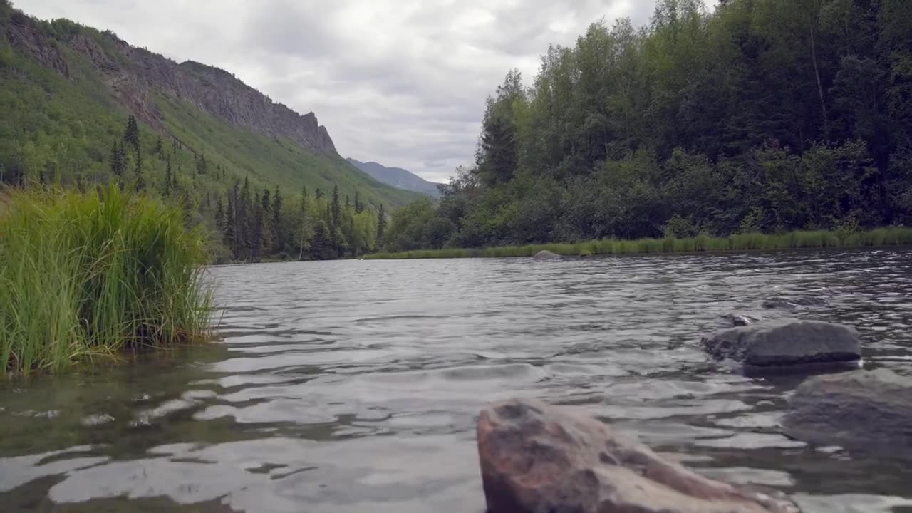
The SWOT (Surface Water and Ocean Topography) Earth Science Satellite is an incredible tool that will assist communities in planning for a better future. By collecting data on Earth's water bodies, including rivers, lakes, and oceans, SWOT will provide valuable information on water levels, currents, and other important factors. This data can be used to enhance our understanding of water resources, manage floods and droughts, and improve our overall water management strategies. With SWOT's insights, communities can make more informed decisions to ensure a sustainable and resilient future. 🌊🛰️🌍
Loading comments...
-
 54:12
54:12
Uncommon Sense In Current Times
15 hours ago $5.35 earned"Neither Batman nor the Good Samaritan: A Christian View Of Self-Defense in the Daniel Penny Case"
7.8K3 -
 59:57
59:57
The Tom Renz Show
16 hours ago"Health and Health freedom - next steps"
5.86K3 -
 39:40
39:40
PMG
13 hours ago $4.49 earned"Paulo Figueiredo, Mehek Cooke, Ashley Hayek, Mark Mitchell- The Breanna Morello Show"
23.4K4 -
 3:37:41
Fresh and Fit
6 hours agoGirls React To Lily Philips Sleeping With 100 Guys
116K50 -
 27:00
27:00
Stephen Gardner
8 hours ago🔥McConnell ATTACKS Trump | HUGE Update on MILITARY DRONES mission!!
104K146 -
 8:10:03
Dr Disrespect
17 hours ago🔴LIVE - DR DISRESPECT - WARZONE - HUNTING SEASON
255K77 -
 1:32:28
Fresh and Fit
10 hours agoHow To Wholesale and Fix & Flip Real Estate!
68.1K10 -
 1:30:55
Flyover Conservatives
1 day agoDrones, Darkness, and Divine Intervention: Unpacking Prophecy and Reality - Dr. Troy Spurrill | FOC Show
41.6K2 -
 59:32
59:32
The StoneZONE with Roger Stone
8 hours agoHonoring Great American Patriots for Helping to Save our Country | The StoneZONE w/ Roger Stone
93K8 -
 1:09:50
Donald Trump Jr.
13 hours agoHow Sean Parnell Helped Deliver PA, Plus Why Pete Hegseth Must Be Confirmed | TRIGGERED Ep.199
215K93