Premium Only Content
This video is only available to Rumble Premium subscribers. Subscribe to
enjoy exclusive content and ad-free viewing.

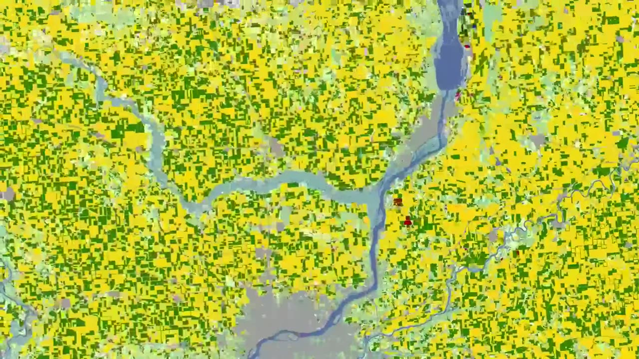
USA Landsat Croplands Data Overview - NASA / ASTROSPECTRE
1 year ago
4
The U.S. Department of Agriculture tracks how many acres and the annual yield for every crop produced. One method used to estimate crop acreage and yield is remote-sensing data from the NASA-USGS Landsat satellite program. The program started in 1997,with North Dakota, and by 2008 covered the entire lower 48 states and the District of Columbia
#moon #orbit #space #earth #astro #astronomy #outerspace #nasa #cosmicdiscoveries #spacediscoveries #mercury
Loading comments...
-
 LIVE
LIVE
Redacted News
1 hour agoThe TRUTH in Ukraine has been EXPOSED by Trump and they are melting down | Redacted w Clayton Morris
11,740 watching -
 2:05:35
The White House
2 hours agoPresident Trump Hosts a Reception Honoring Black History Month
9.44K7 -
 1:02:57
In The Litter Box w/ Jewels & Catturd
22 hours agoKASH CONFIRMATION TODAY! | In the Litter Box w/ Jewels & Catturd – Ep. 746 – 2/20/2025
46.1K39 -
 LIVE
LIVE
VSiNLive
55 minutes agoFollow the Money with Mitch Moss & Pauly Howard | Hour 1
418 watching -
 UPCOMING
John Crump Live
4 hours agoUSA v. Canada! Bigger Than Just A Game
34 -
 LIVE
LIVE
Revenge of the Cis
1 hour agoEpisode 1450: Wet Work
1,389 watching -

vivafrei
7 hours agoKash Patel Confirmation Hearing LIVE! Jan. 6'er Kicked Out of CPAC? DOGE Wins in Court? & MORE!
223K158 -
 5:08:38
Barry Cunningham
7 hours agoTRUMP DAILY BRIEFING: KASH PATEL VOTE | WHITE HOUSE PRESS CONFERENCE | DOGE UPDATE
34K17 -
 1:57:54
The Quartering
5 hours agoRand Paul Praises Trump, Amazon Takes Control of Bond, and Delta Gives Passengers $30,000
70.7K27 -
 1:01:59
The White House
4 hours agoPress Secretary Karoline Leavitt Briefs Members of the Media, Feb. 20, 2025
81.2K56