Premium Only Content

SWOT EARTH SCEINCE SATTELITE WIll HELP COMMUNITIES PLAN FOR A BETTER FUTUTRE
🌊 Exciting Earth Science News! A groundbreaking mission, led by NASA and CNES, is set to revolutionize water management. The Surface Water and Ocean Topography (SWOT) mission will measure water heights in lakes, rivers, oceans, and more, helping us plan for a future impacted by climate change. 🛰️⚙️
As our climate changes, water cycle dynamics shift, impacting communities worldwide. SWOT's data will provide insights for improved flood forecasts and drought monitoring. This is crucial for water management agencies, civil engineers, universities, and more.
Join us to explore how SWOT data will be vital for diverse sectors:
🌧️ Flood Alerts in Portland, Oregon
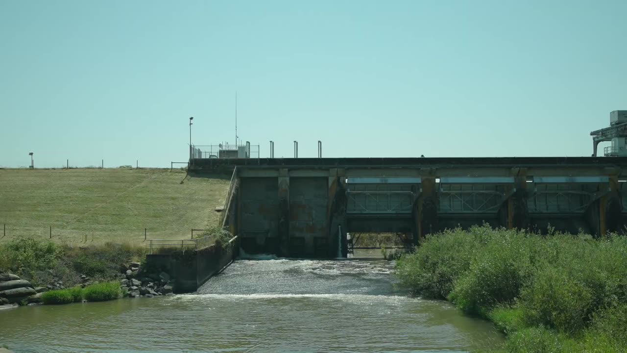
💧 Water Management at Fern Ridge Lake, Oregon
🏗️ Protecting Infrastructure in Alaska
🛡️ Ensuring National Security
🏖️ Coastal Protection in the Mississippi River Delta
SWOT's launch is anticipated from Vandenberg Space Force Base, California, in December 2022. This groundbreaking collaboration involves NASA, CNES, the Canadian Space Agency, and the UK Space Agency. NASA's Jet Propulsion Laboratory is leading the U.S. contribution.
🔗 Learn more about this game-changing mission: https://swot.jpl.nasa.gov
🚀 Stay tuned for updates and witness the future of water management unfold.
-
 2:39:05
Candace Show Podcast
9 hours agoWatch With Me: President Trump’s Address To Congress
128K149 -
 4:09:03
Benny Johnson
13 hours ago🚨President Trump's State of the Union Speech LIVE Right Now! We're INSIDE US Capitol, Special Guests
303K286 -
 13:09:41
Barry Cunningham
1 day agoPRESIDENT TRUMP SPEECH ADDRESS TO JOINT SESSION OF CONGRESS | INTERVIEWS ALL DAY!
109K59 -
 3:45:29
Drew Hernandez
1 day agoWATCH PARTY: PRESIDENT TRUMP'S JOINT ADDRESS TO CONGRESS
68.7K173 -
 3:07:42
Laura Loomer
8 hours agoEP106: LIVE COVERAGE: President Trump Addresses Congress
49.6K11 -
 2:39:02
LFA TV
14 hours agoTRUMP'S JOINT SESSION! 3.4.25 9PM
56.9K14 -
 41:25
41:25
Glenn Greenwald
10 hours agoThe Growing Threat of Corporate Censorship Under the Trump Administration; Former CFPB Director Rohit Chopra on Protecting Consumers, Debanking, and More | SYSTEM UPDATE #417
85K35 -
 1:15:15
Dr. Drew
15 hours agoLuke Rudkowski: Epstein List Release Fail, Zelenskyy's White House Tantrum & Corruption In Congress – Ask Dr. Drew
91.9K15 -
 1:05:46
Candace Show Podcast
15 hours agoHarvey Speaks: Shocking Emails Revealed | Ep 2
127K69 -
 1:51:18
Michael Franzese
12 hours agoRFK Was Right… But It’s Worse Than You Think | Jillian Michaels
79.7K29