Premium Only Content

Raster data model in GIS
Welcome to the captivating world of the Raster Data Model in GIS! In this immersive and comprehensive video course, we will demystify the concept of raster data and explore its vast potential in spatial analysis for video datasets. If you're an aspiring GIS analyst, a video data enthusiast, or a professional seeking to unlock the power of geospatial video analysis, this course is tailor-made for you.
GIS (Geographic Information Systems) is a powerful technology that allows us to analyze and interpret spatial data to uncover valuable insights and patterns. While traditional GIS analysis primarily focuses on vector data, the raster data model brings a whole new dimension to the table by representing information in a grid-like structure. This raster-based approach is especially useful for analyzing video data, where information is often captured as a series of frames over time.
Key Highlights of the Course:
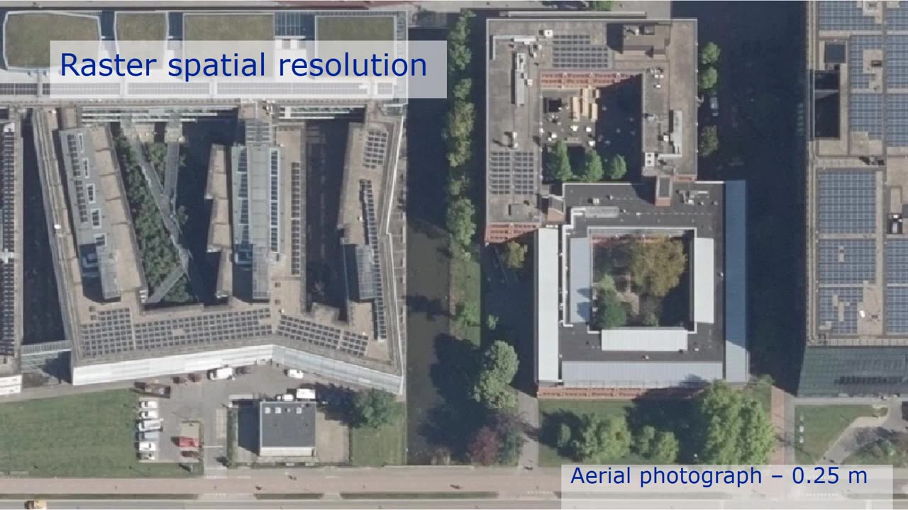
Introduction to Raster Data Model: Lay the foundation by understanding the fundamental concepts of raster data representation, including cells, resolution, and georeferencing.
Geospatial Video Fundamentals: Explore the unique characteristics and challenges of geospatial video data, including frame synchronization, time stamps, and metadata integration.
Raster Data Preprocessing: Learn essential preprocessing techniques for geospatial video data, such as rectification, orthorectification, and mosaicking.
Raster Analytics for Video: Discover the wide array of raster-based analytical methods applicable to video data, including change detection, motion analysis, and object tracking.
Video Segmentation and Classification: Uncover advanced techniques for segmenting video frames and classifying objects based on spectral and spatial attributes.
Temporal Analysis: Dive into the temporal dimension of video data and explore tools for detecting patterns, trends, and anomalies over time.
Integration with Vector Data: Learn how to integrate raster video analysis with vector datasets, enabling a holistic understanding of spatial phenomena.
Case Studies and Applications: Explore real-world case studies and applications where raster data and video analysis have been instrumental in solving complex spatial problems.
Why Enroll in this Course:
Acquire a deep understanding of raster data and its applications in the context of geospatial video analysis.
Enhance your analytical capabilities to extract meaningful insights from video datasets.
Gain a competitive edge in the GIS job market with specialized expertise in raster data modeling for video analysis.
Learn from experienced GIS professionals and video analysts who are passionate about cutting-edge spatial technologies.
Join a dynamic learning community, exchange ideas, and collaborate on exciting projects.
Discover the untapped potential of the raster data model in GIS for video analysis. Enroll now and embark on a transformative journey to unravel the mysteries hidden within geospatial video data. Unleash the power of spatial video analysis and make a difference in the world of GIS. Let's dive into the realm of raster data for video together!
-
 2:06:43
Jewels Jones Live ®
1 day ago2025 STARTS WITH A BANG! | A Political Rendezvous - Ep. 104
47.3K19 -
 4:20:41
Viss
6 hours ago🔴LIVE - PUBG Duo Dominance Viss w/ Spartakus
43.3K5 -
 LIVE
LIVE
MDGgamin
9 hours ago🔴LIVE-Escape From Tarkov - 1st Saturday of 2025!!!! - #RumbleTakeover
231 watching -
 3:54:19
SpartakusLIVE
5 hours agoPUBG Duos w/ Viss || Tactical Strategy & HARDCORE Gameplay
24.6K1 -
 LIVE
LIVE
FRENCHY4185
5 hours agoFRENCHY'S BIRTHDAY BASH !!! THE BIG 40 !!!
389 watching -
 1:23:33
Michael Franzese
13 hours agoThings to look forward to in 2025
67.7K34 -
 3:23:02
I_Came_With_Fire_Podcast
15 hours agoDefeating VICTIMHOOD: Advocacy, Resiliency, and Overcoming Abuse
81.8K15 -
 2:00:56
Game On!
21 hours ago $9.89 earnedNFL Experts debate if Joe Burrow will make HISTORY in Week 18!
103K12 -
 2:07:57
InfiniteWaters(DivingDeep)
4 days agoHOW TO ENTER 2025 LIKE A BOSS!
35.4K1 -
 15:43
15:43
Tactical Advisor
7 hours agoBEST and WORST Guns Of 2024
26.3K7