Google Street View Timelapse US-51 N Tickfaw / Independence / Amite City / Roseland / Arcola
Heading north on Morrison Boulevard, US 51 returns to its original capacity, an undivided four-lane highway with center turning lane. Almost immediately, the highway crosses over without intersecting I-12, a northern bypass of the New Orleans metropolitan area, just east of its interchange with I-55. For the remainder of its journey in Louisiana, US 51 parallels the route of I-55 at a distance generally between 1 and 2 miles (1.6 and 3.2 km) to the east. Passing to the west of the traditional downtown area, US 51 intersects US 190 (West Thomas Street), its main east–west commercial thoroughfare. This intersection also marks the northern terminus of US 51 Bus. Upon exiting Hammond, an intersection with LA 3234 (West University Avenue) connects the route with nearby Southeastern Louisiana University. Shortly afterward, US 51 narrows to an undivided two-lane highway and will remain in that capacity for the rest of its journey.[3][5][6]
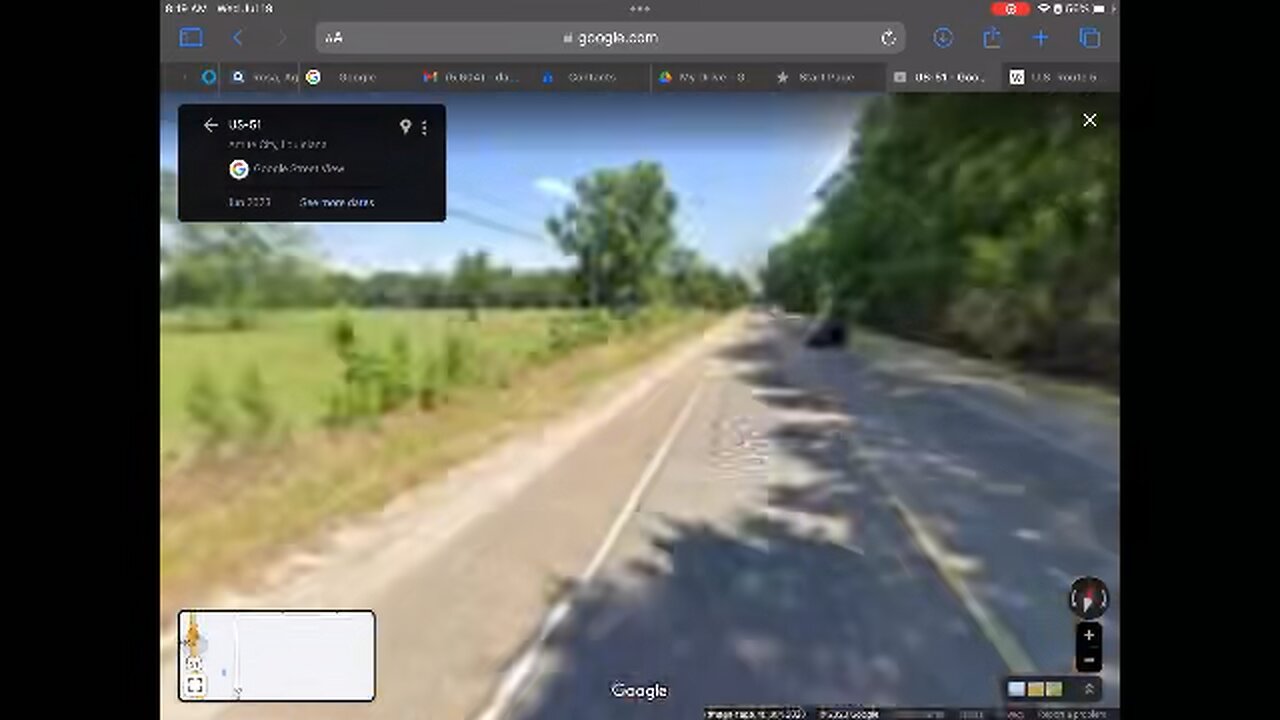
After passing through the community of Natalbany, US 51 enters the village of Tickfaw and begins to follow alongside the Canadian National Railway (CN) line. Both the highway and the rail line pass through a string of communities on the way to the Mississippi state line and intersect a series of rural east–west routes that often lead to nearby interchanges with I-55, the main route of through traffic in the area. In Tickfaw, this function is served by LA 442, which also has a brief concurrency with US 51 as the former makes a zigzag in the center of town. 4 miles (6.4 km) north of Tickfaw, US 51 passes through the town of Independence, where LA 40 connects to I-55 as well as points such as Loranger and Husser. Continuing due north for 6 miles (9.7 km), US 51 enters Amite City, the parish seat. Initially traveling along 1st Street, one block distant from the railroad line, US 51 zigzags east onto Chestnut Street then north onto Central Avenue. One block later, flanked by the rail line and a row of antique brick storefronts, an intersection with LA 16 (Oak Street) in the center of town leads to I-55 and the towns of Franklinton and Montpelier.[3][5][6][7]
-

The Rubin Report
19 hours agoWhy the Real Challenge Is Just Beginning | Jordan Peterson
12.3K -
 30:31
30:31
SB Mowing
1 day agoI brought in REINFORCEMENTS when I saw the state of this yard
122K43 -
 1:59:13
Adam Carolla
2 days agoBeing Republican & in Hollywood +Kelsey Grammer on Fatherhood + Peter Berg's Super Bowl Commercials
68.1K36 -
 18:29
18:29
DeVory Darkins
14 hours ago $40.60 earnedZelenskyy KICKED OUT of the White House after shouting match erupts
113K213 -
 2:23:02
Badlands Media
1 day agoThe Liberty Den Ep. 133
131K63 -
 2:05:41
TimcastIRL
14 hours agoTrump SLAMS Ukraine President In TENSE WH Meeting, The War MAY END w/ Rob Smith | Timcast IRL
223K122 -
 10:31:05
Dr Disrespect
22 hours ago🔴LIVE - DR DISRESPECT - PGA TOUR 2K25 LAUNCH DAY
220K31 -
 2:30:04
Laura Loomer
13 hours agoEP105: MISSING: The Epstein Files
112K87 -
 1:46:14
Kim Iversen
14 hours agoTrump to Zelenskyy: 'You're Gambling with World War III'
118K159 -
 55:28
55:28
Glenn Greenwald
16 hours agoGlenn Reacts to Trump-Zelensky Exchange and Takes Q&A from our Members | SYSTEM UPDATE #415
177K275