Premium Only Content

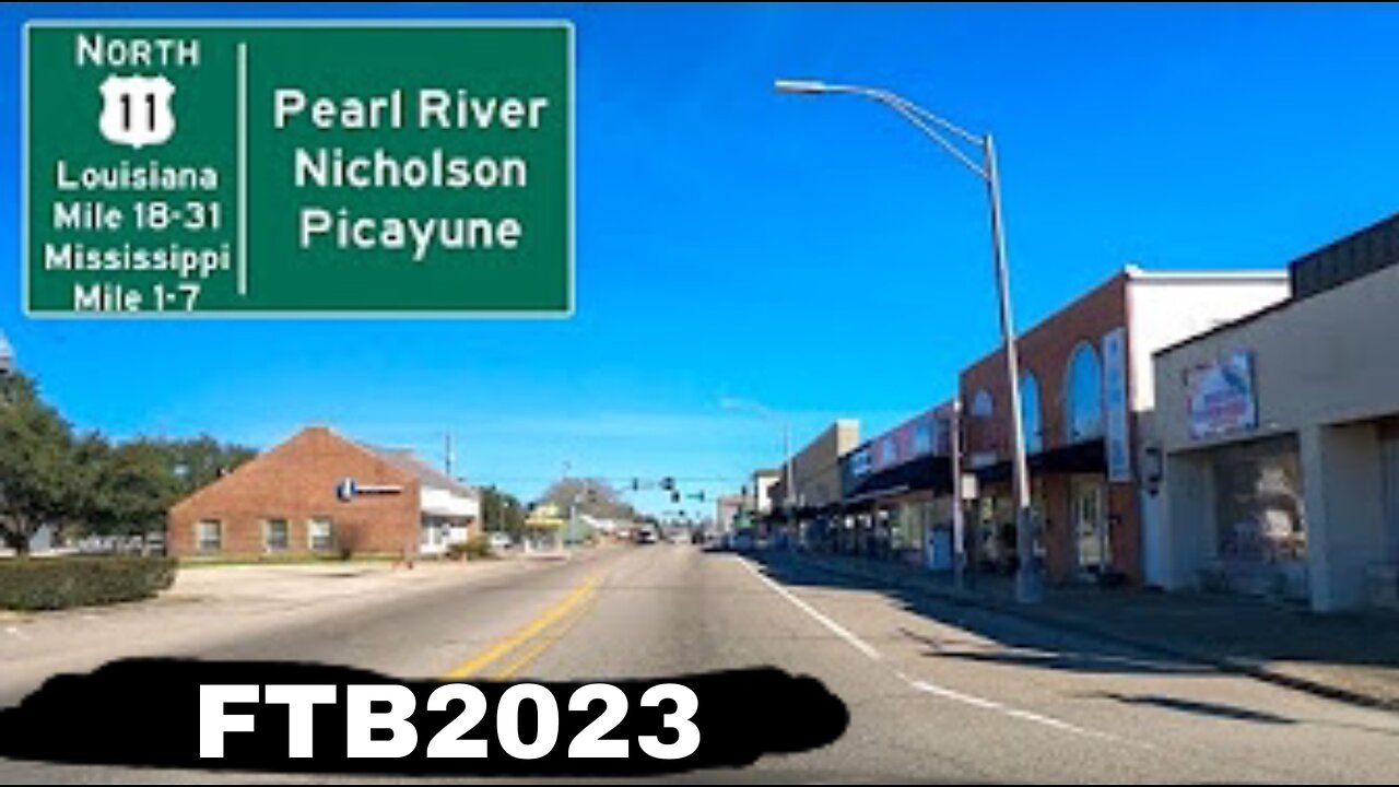
Google Street View Timelapse road trip - US-11 N - Louisiana Mile 18 to Mississippi Mile 7
Slidell to Mississippi state line
In Slidell, US 11 curves to the northwest and intersects Louisiana Highway 433 (LA 433; Old Spanish Trail). The center lane disappears, and the two highways run concurrent for a short distance until reaching an intersection with Front Street. Here, US 11 turns back to the northeast alongside the NS tracks while LA 433 continues straight ahead across the rail line onto Bayou Liberty Road. US 11 follows Front Street through Slidell's historic district and intersects US 190 Business (US 190 Bus.) at Fremaux Avenue, beginning a brief concurrency for several blocks to a junction with mainline US 190 at Gause Boulevard. Here, US 190 Bus. reaches its western terminus, and US 11 continues northward along Front Street, narrowing again to an undivided two-lane highway. Just beyond Indiana Avenue, US 11 crosses to the west side of the NS line via an overpass. Proceeding north for one mile (1.6 km), US 11 reaches the northern limit of Slidell and enters a partial cloverleaf interchange with I-12 at exit 83, briefly widening to a divided four-lane highway. I-12 connects with Hammond to the west and a major interchange with I-10 and I-59 a short distance to the east.[4][6]
Returning to two-lane capacity, US 11 continues north through the small suburb of Alton and intersects LA 1091 (Robert Boulevard), entering the town of Pearl River. One mile (1.6 km) later, the highway intersects LA 41 (Watts Road), which heads north toward Bogalusa. From this intersection, LA 3081 continues north along Main Street while US 11 turns southeast onto Concord Boulevard and crosses the NS line at grade. Shortly afterward, US 11 enters an interchange with I-59 at exit 3, which also marks the northern terminus of LA 1090 (Military Road). US 11 turns north to follow the onramp to I-59 and utilizes the Interstate's alignment for the remainder of its distance in Louisiana.[4][6]
After 1.5 miles (2.4 km), I-59/US 11 reaches exit 5A, which forms the northern terminus of LA 3081 and provides another connection to Pearl River. Immediately following this interchange, the highway crosses a bridge over the West Pearl River. Just north of the bridge is exit 5B, an interchange with a local road known as Old US 11, part of the pre-Interstate alignment that now serves Pearl River Wildlife Management Area. Exiting the Pearl River corporate limits, I-59/US 11 proceeds northward through the Honey Island Swamp and, after 5.3 miles (8.5 km), reaches its final interchange, exit 11 (Pearl River Turnaround). It then crosses the main branch of the Pearl River into Mississippi at a point 2.5 miles (4.0 km) south of Picayune.[4][6]h
-
 59:46
59:46
Man in America
14 hours agoAI mRNA Vaccines, Turbo Cancer & Blood Clots... What Could Go Wrong?! w/ Tom Haviland
36.2K19 -
 1:09:15
Precision Rifle Network
1 day agoS4E3 Guns & Grub - Trump a new era for gun rights?
70.6K9 -
 1:05:31
Glenn Greenwald
9 hours agoSection 702 Warrantless Surveillance Ruled Unconstitutional: Press Freedom Advocate Seth Stern Explains; The Rise of Unions & the Impact of Trump's Populism with Author Eric Blanc | SYSTEM UPDATE #395
105K96 -
 1:01:13
The Amber May Show
8 hours ago $2.98 earnedWomen Of Rumble | Amber, Kelly and Wendy Wild
44.2K4 -
 1:16:38
Josh Pate's College Football Show
10 hours ago $2.05 earnedCFP Title Viewership | JP Poll Under Attack | Bama & Oregon Season Grades | Most To Prove In 2025?
43.5K -
 5:10:59
VOPUSARADIO
14 hours agoPOLITI-SHOCK! "THE TIDE IS TURNING"! 3 SPECIAL GUESTS JOINING US TONIGHT!
28.7K2 -
 52:47
52:47
Kimberly Guilfoyle
12 hours agoDismantling DEI Once and For All, Live with Tyler O’Neil & Eric Deters | Ep.190
95.4K41 -
 1:34:59
Redacted News
11 hours agoBREAKING! TRUMP SIGNS ORDER TO RELEASE JFK FILES, CIA IS FURIOUS | REDACTED NEWS
221K401 -
 1:36:09
Benny Johnson
12 hours ago🚨WATCH: President Trump Declassifies JFK, RFK, MLK Files LIVE Right Now in Oval Office, History Now
168K322 -
 2:02:09
Common Threads
10 hours agoLIVE DEBATE: Will Democrats Roll Over or Fight Back?
29.9K1