Premium Only Content

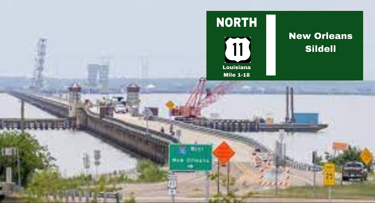
Google Street View Timelapse Road Trip - US-11 N - Louisiana Mile 1-18 New Orleans/Sildell
From the south, US 11 begins at an intersection with US 90 (Chef Menteur Highway) in New Orleans East between Michoud and Venetian Isles. It heads north along Ridgeway Boulevard as an undivided two-lane highway and travels through an area of marshland known as Irish Bayou. After 5.5 miles (8.9 km), the highway reaches Point Aux Herbes, where it passes through an interchange with I-10 at exit 254. US 11 immediately continues northeast onto the Maestri Bridge, a 4.8-mile-long (7.7 km) span across Lake Pontchartrain that parallels the I-10 Twin Span Bridge.[4][5]
About midway across the lake, US 11 crosses from Orleans Parish (coextensive with the city of New Orleans) into St. Tammany Parish and begins to closely follow the east side of the Norfolk Southern Railway (NS) trestle. Making landfall in North Shore, US 11 becomes known as Pontchartrain Drive and passes through the community of Eden Isle. At Oak Harbor Boulevard, the highway enters the city of Slidell and widens to accommodate a center turn lane and a second travel lane in each direction. This portion of the highway serves as a commercial corridor for the surrounding suburban area.[4][6]
Slidell
-
 1:40:52
Russell Brand
2 hours agoCalifornia Burns! Who’s Really to Blame? – SF519
80.4K41 -
 LIVE
LIVE
The Officer Tatum
1 hour agoLIVE: Pete Hegseth DESTROYS Leftist at Confirmation Hearing! + MORE Officer Tatum Show EP 41
2,181 watching -
 1:58:28
The Charlie Kirk Show
2 hours agoThe Hegseth Confirmation Hearing | Larsen, Dr. Marshall, Halperin | 1.14.2025
103K59 -
 12:15
12:15
Reforge Gaming
3 hours agoPlayStation has a First Party Problem
6.19K2 -
 7:12
7:12
Rethinking the Dollar
3 hours agoIs the Catalyst For the Next Financial Crisis...Homeowners Insurance?
5.44K2 -
 2:02:13
LFA TV
19 hours agoHEGSETH HEARING LIVE! | LIVE FROM AMERICA 1.14.25 11am
65.7K26 -
 46:04
46:04
Grant Stinchfield
2 hours ago $2.61 earnedDevious Jack Smith Vindicates President Trump with One Line the Media Won't Repeat
25.7K2 -
 18:12
18:12
ROSE UNPLUGGED
1 day agoTom Homan: They Can't Cancel Me- I'm Not Going Away
12.4K -
 1:02:03
TheAlecLaceShow
3 hours agoNavy SEALs March on Washington for Pete Hegseth | The Alec Lace Show
10.6K1 -
 1:16:46
Bare Knuckle Fighting Championship
1 day agoThe Bare Knuckle Show with Brian Soscia
21K