Premium Only Content

Tripping on Travel: Shaker Rd, Northfield, NH
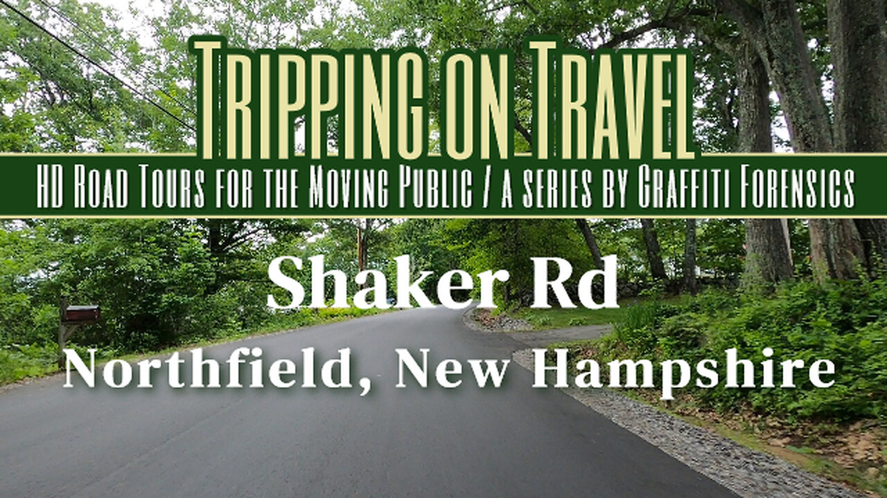
The footage begins with me exiting the boat ramp parking lot found immediately after entering Shaker Rd. The history of Northfield on the town's website matches word-for-word some segments of Wikipedia's profile of the town. It's history tells us that the "north fields" farming community originated in an area that was part of the town of Canterbury, which in itself was established in 1841, twenty years BEFORE Abraham Lincoln was our President and the American Civil War began in 1861. Fifteen years after the end of the Civil War, however, 43 residents of the north fields of Canterbury submitted to the state their signed petition asking that they establish their own town, due to the long distance they had to travel for resources. Wikipedia explains that in the Northfield area, "early sawmills and gristmills gave way to large textile and paper mills. As these industries died out in the area, many old mill buildings were torn down. Others were used for the manufacture of other items, including optical lenses and lead batteries." But when viewing the scenery of Shaker Rd you'll see in this footage, you'll see it's beautiful, green countryside.
Mystventure by | e s c p | https://escp-music.bandcamp.com
Music promoted by https://www.free-stock-music.com
Attribution 4.0 International (CC BY 4.0)
https://creativecommons.org/licenses/by/4.0/
References:
Wikipedia - Northfield, New Hampshire
https://en.wikipedia.org/wiki/Northfield,_New_Hampshire
Town of Northfield
https://www.northfieldnh.org/about-us
Maps of routes by Bing Maps. My only task was to trace my driving route from A (start) to B (end) to match the footage that follows it.
Other Graffiti Forensics channels and pages
http://www.youtube.com/c/GraffitiForensics
https://www.facebook.com/GForensics/
https://www.bitchute.com/channel/graffitiforensics/
-
 3:44:06
Rising Rhino
11 hours ago $11.89 earnedWashington Commanders Vs Philadelphia Eagles: NFL NFC Championship LIVE Watch Party
56.3K4 -
 13:00
13:00
Exploring With Nug
6 hours ago $1.11 earnedHe Went To Get A Haircut And Vanished WIthout a Trace!
44.1K2 -
 18:53
18:53
DeVory Darkins
1 day ago $8.09 earnedTrump JUST ENDED Mayor Karen Bass During HEATED Meeting
78.4K212 -
 21:06
21:06
Russell Brand
9 hours agoIT'S COMING
134K393 -
 21:26
21:26
Stephen Gardner
1 day ago🔥What JUST leaked out of Congress must be STOPPED NOW!
132K280 -
 53:25
53:25
tether
11 days agoStability and Freedom in Chaos: The Story of Tether USD₮ | Tether Documentary (USDT)
144K5 -
 56:44
56:44
VSiNLive
2 days agoFollow the Money with Mitch Moss & Pauly Howard | Hour 1
80.9K2 -
 36:50
36:50
Anthony Pompliano
2 days ago $16.44 earnedInvestors Are ALL-IN On Bitcoin
73.5K20 -
 32:19
32:19
SB Mowing
9 days agoA Backyard She’s NEVER Seen – Now Safe for the Kids to Play!
67.6K29 -
![[Day 26] CS Blast bounty baby](https://1a-1791.com/video/fwe2/8a/s8/1/Z/H/j/_/ZHj_w.0kob-small-Day-26-CS-Blast-bounty-baby.jpg) 2:09:11
2:09:11
ggezlol_tv
13 hours ago[Day 26] CS Blast bounty baby
98.2K3