Premium Only Content
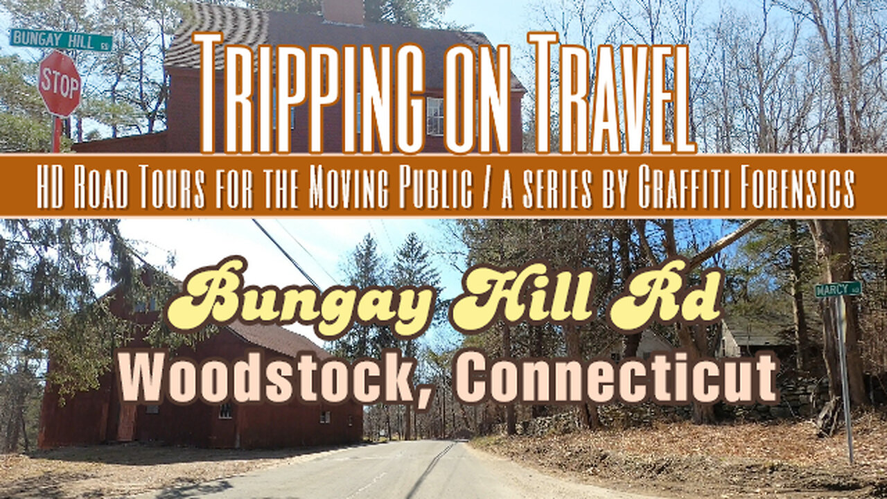
Tripping on Travel: Bungay Hill Rd, Woodstock, CT
Video quality has been improved as of this production. In this video, I drive from beginning to end of Bungay Hill Rd in West Woodstock, Connecticut. As one can see from the map in the video, the road serves as a shortcut between Rt 171 on the east side of Lake Bungee and to Rt 198 located west of the lake. Very little about Bungee Lake is included in this video. At best, when I drove on Bungay Hill Rd, I drove past the very north end of Lake Bungee. You can get a brief glimpse of it in the video, but only as I drive by it. The spelling of the lake's name varies online. But I've always known it to be "Bungee". Some sources spell it as "Bunggee". A few sources use both spellings. Even maps will disagree. Bing shows it as "Lake Bungee", while others choose the two G spelling. Both Witches Wood Lake and Bungee Lake are "census designated places". Outside of that, there is not much to find about Lake Bungee's history.
Möbius Surface by | e s c p | https://escp-music.bandcamp.com
Music promoted by https://www.free-stock-music.com
Attribution 4.0 International (CC BY 4.0)
https://creativecommons.org/licenses/by/4.0/
Maps of routes by Bing Maps. My only task was to trace my driving route from A (start) to B (end) to match the footage that follows it.
Other Graffiti Forensics channels and pages
http://www.youtube.com/c/GraffitiForensics
https://www.facebook.com/GForensics/
https://www.bitchute.com/channel/graffitiforensics/
-
 1:33:27
Game On!
14 hours ago $3.22 earnedMARCH MADNESS SWEET 16 AND MLB OPENING DAY BEST BETS!
16.8K1 -
 38:02
38:02
CryptoWendyO
19 hours ago $1.33 earnedPREPARE: Greatest Transfer Of Wealth In History Coming To Crypto!
5.25K10 -
 26:53
26:53
CatfishedOnline
17 hours agoOnline Scammer Swore He’d Call Her Every Day
18.5K5 -
 8:33
8:33
ARFCOM News
18 hours ago $0.60 earnedIs This The END For Silencer Restrictions? | Homemade Bomb Class | 30th Permitless Carry State
6.75K4 -
 59:41
59:41
Trumpet Daily
21 hours ago $3.10 earnedOnly Europe Cares About the ‘Signal’ Messages - Trumpet Daily | Mar. 26, 2025
12.9K4 -
 7:45
7:45
DropItLikeItsScott
2 days ago $0.43 earnedTHE FOSTECH DRONE PREDATOR / For The Alien Invasion
6.95K4 -
 30:07
30:07
Degenerate Plays
16 hours ago $0.62 earnedI See London, I See France, I See Suzie's... - Marvel Rivals: Part 2
12.7K4 -
 17:17
17:17
RealReaper
17 hours ago $1.11 earnedSnow White Is Worse Than AIDS
9.65K21 -
 1:39
1:39
Gun Drummer
22 hours agoSlipknot - TANK COVER
19.7K5 -
 2:10:11
Badlands Media
1 day agoDevolution Power Hour Ep. 340
170K95