Premium Only Content
This video is only available to Rumble Premium subscribers. Subscribe to
enjoy exclusive content and ad-free viewing.

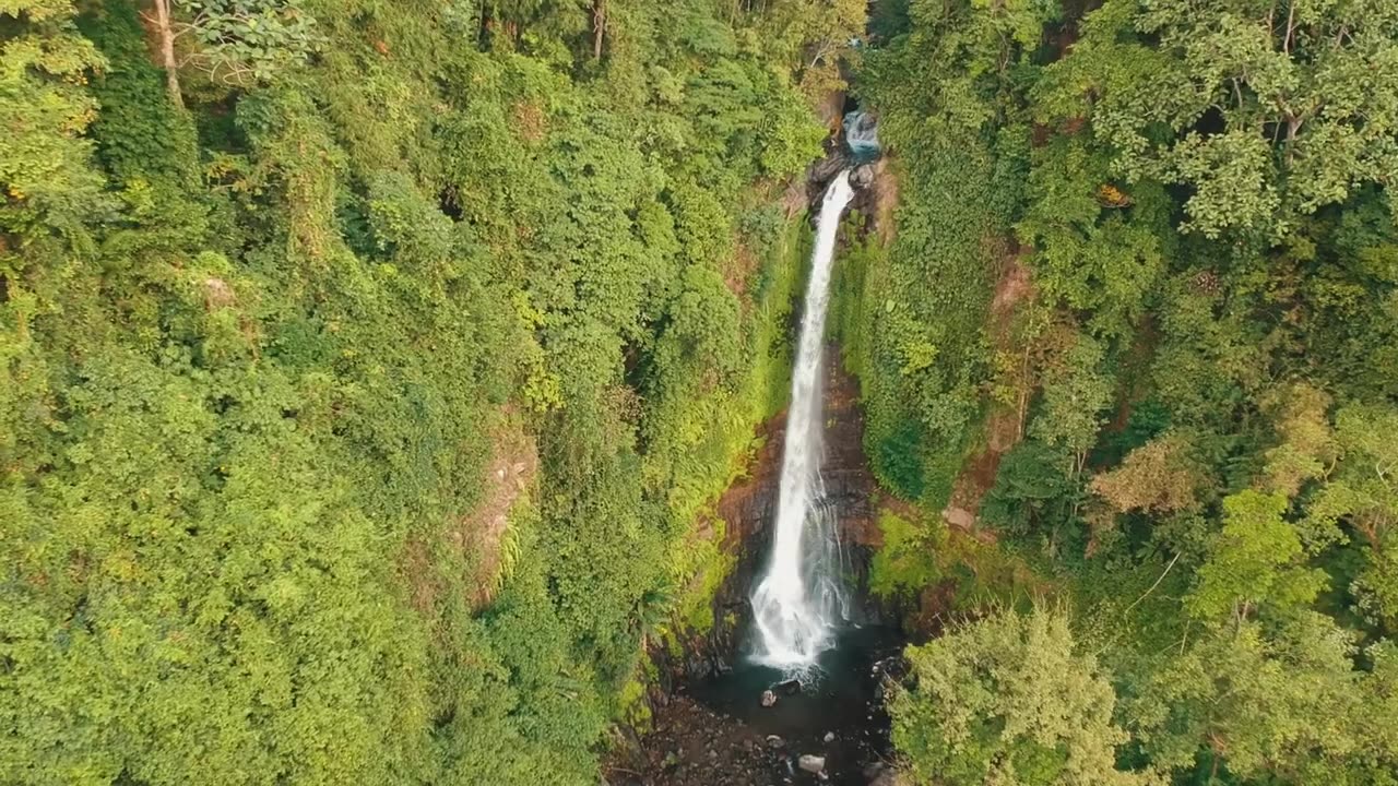
Drone view Bali island Indonesia
1 year ago
2
Bali is a very beautiful island with a coastline of about 633.35 km. On the island of Bali there are volcanoes, rivers and lakes. The existence of volcanoes provides soil fertility for agricultural businesses. The volcanoes on the island of Bali are Mount Batur and Mount Agung. The highest point in Bali is Mount Agung with a height of 3,148 m and last erupted in 1963. Meanwhile, Mount Batur's eruption had caused a major disaster on earth around 30,000 years ago.
#baliindonesia
#indonesia
#baliisland
Loading comments...
-
 47:50
47:50
Candace Show Podcast
6 hours agoBREAKING: Judge Makes Statement Regarding Taylor Swift's Text Messages. | Candace Ep 155
113K112 -
 1:14:23
Josh Pate's College Football Show
3 hours ago $0.29 earnedCFB’s Most Hated Teams | FSU & Clemson Future | Big Ten Win Totals | Star Rankings Overrated?
14.5K -
 1:33:47
CatfishedOnline
5 hours agoGoing Live With Robert - Weekly Recap
27.8K -
 55:18
55:18
LFA TV
1 day agoEurope’s Sudden Turn Against America | TRUMPET DAILY 3.6.25 7PM
32.2K3 -
 4:21
4:21
Tundra Tactical
4 hours ago $2.12 earnedPam Bondi MUST Enforce Due Process NOW!
23.7K1 -
 56:42
56:42
VSiNLive
5 hours agoFollow the Money with Mitch Moss & Pauly Howard | Hour 1
48K1 -
 1:05:32
In The Litter Box w/ Jewels & Catturd
1 day agoShalom Hamas | In the Litter Box w/ Jewels & Catturd – Ep. 756 – 3/6/2025
103K37 -
 1:23:00
Sean Unpaved
7 hours ago $3.19 earnedNFL Free Agency
53.4K4 -
 18:25
18:25
Stephen Gardner
6 hours ago🔥The REAL REASON the Epstein Files are being HIDDEN | I CONFRONT Alan Dershowitz for details!
66.2K121 -
 1:58:44
The Quartering
10 hours agoTrump To Charge USAID Staff, Campus RIOT Erupts, Theo Von & Candace Owens, Ukraine Gets Worse!
117K72