Premium Only Content

Stevens Canyon: Slide Trail, 3rd Visit
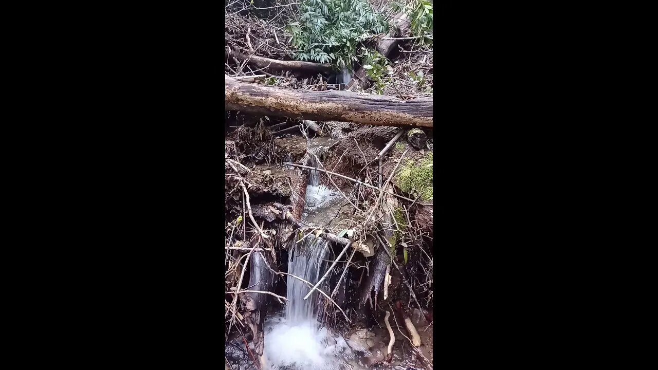
Another return visit to this old trail to check out some more of the small waterfalls along the creek. Really interesting checking out features visible on the map then going to that feature to see what it looks like in person.
I also wanted to see if I could find the extension of the trail I followed on the other side of the creek earlier this year.
Interesting to find all the rounded gravel up on the side of the canyon. I've also seen this on the other side of the canyon, for example the road over there is mostly gravel which is why it's in such great shape.
USGS National Map Viewer w/ Hill Shade layers:
https://apps.nationalmap.gov/viewer/
This whole area is part of a single 40 acre parcel of land that the Open Space district purchased around 2001, per the newspaper article. I haven't been able to find out about anything that was located here prior to district clearing the land shortly after acquisition. Here's a demolition project for an adjoining parcel of land, acquired from the same owner in 2013, that was cleared in 2014:
https://www.openspace.org/sites/default/files/CGI-BIN/agendas_minutes/2014.07.23_Lobner_AwardofContract_Demolition_r-14-97.pdf
More to come...
Subscribe for more content like this
Comment, rate, share & click the bell icon
And as always, thanks for watching
#USGS #HillShade
-
 LIVE
LIVE
Jerry After Dark
14 hours agoHole In One Challenge | Presented by TGL
4,867 watching -
 3:56:39
Alex Zedra
6 hours agoLIVE! New Game | The Escape: Together
47.5K7 -
 5:01:11
FreshandFit
7 hours agoJoe Budden Arrested For Being A Perv! Tesla Cybertruck Explosion
80.1K12 -
 2:08:45
Kim Iversen
10 hours agoNew Year, New PSYOP?: The Fort Bragg Connection In The New Years Terror Attacks
67.3K119 -
 1:41:18
Glenn Greenwald
9 hours agoTerror Attacks Exploited To Push Unrelated Narratives; Facing Imminent Firing Squad, Liz Cheney Awarded Presidential Medal | SYSTEM UPDATE #381
97K175 -
 1:00:32
Man in America
11 hours ago🔴 LIVE: Terror Attacks or False Flags? IT DOESN'T ADD UP!!!
59K20 -
 1:02:38
Donald Trump Jr.
13 hours agoNew Year’s Terror, Latest Breaking News with Sebastian Gorka | TRIGGERED Ep.204
194K398 -
 59:59
59:59
The StoneZONE with Roger Stone
8 hours agoAfter Years of Targeting Trump, FBI and DOJ are Unprepared to Stop Terror Attacks | The StoneZONE
60.7K19 -
 1:26:42
Leonardaisfunny
6 hours ago $4.26 earnedH-1b Visas: Infinity Indians
39.1K18 -
 1:08:33
Josh Pate's College Football Show
11 hours ago $2.57 earnedPlayoff Reaction Special: Ohio State Owns Oregon | Texas Survives | UGA vs Notre Dame Takeaways
36.5K6