Premium Only Content

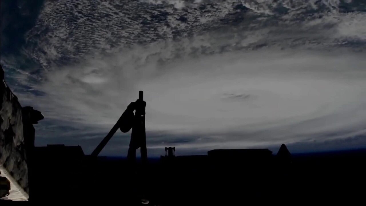
Views of Hurricane Dorian from the International Space Station - September 2, 2019
Cameras outside the International Space Station captured views at 11:27 a.m. EDT on Sept. 2 of Hurricane Dorian from 260 miles in altitude as it churned over northwestern Bahamas. In its 11:00 a.m. EDT advisory, the National Hurricane Center said Dorian was almost stationary, moving toward the west at just 1 mile an hour just over 100 miles east of West Palm Beach, Florida, packing catastrophic sustained winds of 155 miles an hour. A slow westward to west-northwestward motion is forecast during the next day or so, followed by a gradual turn toward the northwest and north. On this track, the core of extremely dangerous Hurricane Dorian will continue to pound Grand Bahama Island through much of today and tonight. The hurricane will move dangerously close to the east coast of Florida tonight through Wednesday evening and dangerously close to the Georgia and South Carolina coasts Wednesday night and Thursday. Currently, Dorian is a category 4 hurricane on the Saffir-Simpson Hurricane Wind Scale. Although gradual weakening is forecast, Dorian is expected to remain a powerful hurricane during the next couple of days while moving on a possible track up the southeastern U.S. seaboard.
Download this footage: https://images.nasa.gov/details-jsc20...
For the latest updates on Hurricane Dorian from NASA, visit: https://blogs.nasa.gov/hurricanes/tag...
Music added: They Can Feel You by Hainbach
Subscribe and hit the bell, video feeds from over 150 sources!
-
 1:04
1:04
Kurt's News
13 days ago🔴 I'm Not With Her
411 -
 1:32:50
Kim Iversen
6 hours agoSHOCKING: New Evidence That Fauci Lied, People Died | Thank You, Dr. Fauci
82.2K58 -
 1:31:04
Glenn Greenwald
7 hours agoBiden Admin Pledges Every Last Penny To Ukraine; Russia Hysteria Explodes After Tulsi Nomination; Biden's Fraudulent Israel Ultimatum | SYSTEM UPDATE #366
105K82 -
 1:31:25
Precision Rifle Network
11 hours agoS3E7 Guns & Grub with special guest Benchrest Marksman
24.2K -
 DVR
DVR
tacetmort3m
8 hours ago🔴 LIVE - BUG ONLY STREAM (SOLO OR MAYBE TEAM?) - HELLDIVERS 2
17.3K2 -
 1:40:28
Roseanne Barr
4 hours ago $22.10 earnedUnredacting Jesus with Billy Phillips | The Roseanne Barr Podcast #74
64.3K34 -
 30:41
30:41
Stephen Gardner
5 hours ago🔥Trump SHOCKS world: Tulsi Gabbard READY to REVAMP CIA and FBI
40.3K31 -
 55:28
55:28
LFA TV
1 day agoThe War in 2024 | Trumpet Daily 11.14.24 9PM EST
26.4K4 -
 LIVE
LIVE
VOPUSARADIO
4 days agoPOLITI-SHOCK! W/ SPECIAL GUESTS FORMER WWE & AEW SUPERSTAR- JAKE HAGER & SILICON SATAN AUTHOR CREGG LUND
125 watching -
 1:05:24
Donald Trump Jr.
9 hours agoShaking up the Swamp and We’re Just Getting Started, Plus Interview with Tom Homan TRIGGERED Ep.191
178K228