Premium Only Content

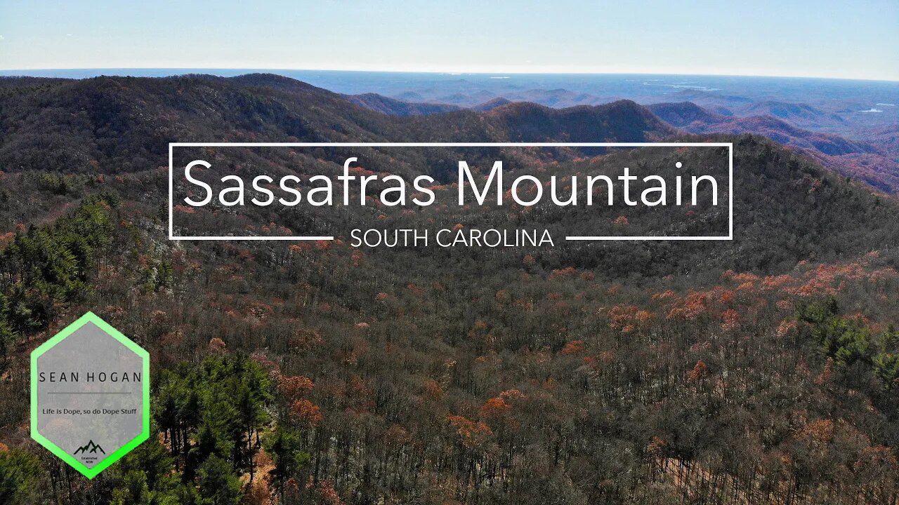
Sassafras Mountain, SC -- Drone Footage
This is Sassafras Mountain (Sassy for short). It's the tallest point in South Carolina and actually straddles the NC/SC border. There is now a view platform on the top of the mountain which is easily accessible after a short 1/4 walk. It's an amazing place to watch a sunset!
Instagram: https://www.instagram.com/nevergrowbored
My Hiking Blog: https://nevergrowbored.blogspot.com
Twitter: https://twitter.com/seanhogan410
Google Maps: https://goo.gl/maps/3RzhH1QQqQL6jyHB9
Music Link: https://soundcloud.com/kasseo/wilderness-old-unfinished-track
Trail App I use: https://www.alltrails.com
Drone I Use: https://www.dji.com/mavic-air
Handheld Gimbal I Use: https://www.dji.com/osmo-pocket
My Hiking Gear:
Boots: t.ly/qC2f
Daypack: t.ly/e3TH
Backpack: t.ly/CUTP
3P Tent: t.ly/bz4h
2P Tent: t.ly/jUhy
Hammock: t.ly/iIRz
Shorts (non-jorts): t.ly/dbFq
Socks: t.ly/MnOX
Shades: t.ly/LWSH
-
 1:14
1:14
KSHB
2 years agoDrone footage
18 -
 1:22
1:22
Ramble On
2 years agoBetter Drone Footage
8 -
 0:25
0:25
TheSouthernWoodsmanUk
2 years agoDrone footage. Waterside.
72 -
 0:54
0:54
KJRH
2 years agoOkmulgee Drone Footage
3 -
 0:40
0:40
KJRH
2 years agoOkmulgee Drone Footage 2
3 -
 2:07:07
Robert Gouveia
6 hours agoFBI Files Coverup! Bondi FURIOUS; SCOTUS Stops Judge; Special Counsel; FBI Does
57.9K58 -
 56:15
56:15
Candace Show Podcast
6 hours agoBREAKING: My FIRST Prison Phone Call With Harvey Weinstein | Candace Ep 153
122K83 -
 LIVE
LIVE
Flyover Conservatives
5 hours agoROBIN D. BULLOCK | Prophetic Warning: 2030 Is Up for Grabs – If We Don’t Act Now, Disaster Awaits! | FOC SHOW
1,771 watching -
 LIVE
LIVE
megimu32
3 hours agoON THE SUBJECT: The Epstein List & Disney Channel Original Movies Nostalgia!!
245 watching -
 9:06
9:06
Colion Noir
12 hours agoKid With Gun Shoots & Kills 2 Armed Robbers During Home Invasion
25.8K7