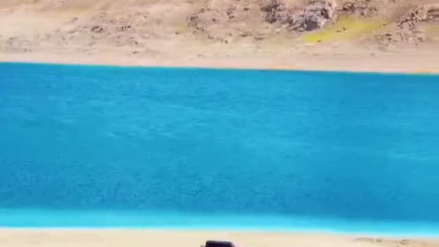
Qinghai-Tibet Plateau
Qingzang Gaoyuan) is a vast, elevated plateau in Central Asia[1][2][3][4] covering most of the Tibet Autonomous Region and Qinghai Province in China and Ladakh in Kashmir, India. It occupies an area of around 1,000 by 2,500 kilometers, and has an average elevation of over 4,500 meters. Sometimes called "the roof of the world," it is the highest and biggest plateau, with an area of 2.5 million square kilometers (about four times the size of Texas or France).[5]
The plateau is bordered to the northwest by the Kunlun Range which separates it from the Tarim Basin, and to the northeast by the Qilian Range which separates the plateau from the Hexi Corridor and Gobi Desert. Near the south the plateau is transected by the Yarlung Tsangpo River valley which flows along the base of the Himalayas, and by the vast Indo-Gangetic Plain. To the east and southeast the plateau gives way to the forested gorge and ridge geography of the mountainous headwaters of the Salween, Mekong, and Yangtze rivers in western Sichuan and southwest Qinghai. In the west it is embraced by the curve of the rugged Karakoram range of northern Kashmir.
It has been empirically shown to be the most remote place on Earth.[7]
The Tibetan plateau has been an important strategic area throughout Chinese history.
NASA satellite image of the southern area of Tibetan PlateauThe plateau is a high-altitude arid steppe interspersed with mountain ranges and large brackish lakes. Annual precipitation ranges from 100 mm to 300 mm and falls mainly as hailstorms. The southern and eastern edges of the steppe have grasslands which can sustainably support populations of nomadic herdsmen, although frost occurs for six months of the year. Permafrost occurs over extensive parts of the plateau. Proceeding to the north and northwest, the plateau becomes progressively higher, colder and drier, until reaching the remote Changthang region in the northwestern part of the plateau. Here the average altitude exceeds 5,000 meters (16,500 feet) and year-round temperatures average −4 °C, dipping to −40 °C in winter. As a result of this extremely inhospitable environment, the Changthang region (together with the adjoining Kekexili region) is the least populated region in Asia, and the third least populated area in the world after Antarctica and northern Greenland.
-
 LIVE
LIVE
Badlands Media
6 hours agoBadlands Daily: April 25, 2025
2,132 watching -
 LIVE
LIVE
Wendy Bell Radio
5 hours agoSmells Like Dem Panic
9,405 watching -
 LIVE
LIVE
LFA TV
12 hours agoALL DAY LIVE STREAM - 4/25/25
11,606 watching -
 1:31:32
BEK TV
9 hours agoThe Truth About Autism, Vaccines, and Parasites They Don’t Want You to Know - Dr. Jason Dean
3.04K -
 25:12
25:12
JasminLaine
18 hours agoMark Carney Gets GRILLED By Reporter—Lies Finally Get Fact-Checked… PUBLICLY
18K34 -
 11:46
11:46
Tactical Considerations
16 hours ago $4.80 earnedKimber CDS9 The Micro 1911 That Seems To Have It All
25.7K4 -
 15:48
15:48
IsaacButterfield
1 day ago $3.45 earnedWoke Lunatic ATTACKS My 2 Year Old Son!!
31.2K31 -
 55:00
55:00
The Hannah Faulkner Show
22 hours ago $2.55 earnedKLAUS SCHWAB RESIGNS & A NEW POPE with Mike Crispi | The Hannah Faulkner Show
30.1K9 -
 36:50
36:50
Uncommon Sense In Current Times
14 hours ago $1.28 earnedHomicide Detective Finds God While Investigating True Crime | J. Warner Wallace
31.7K15 -
 1:00:51
Trumpet Daily
22 hours ago $4.53 earnedAmerica’s Shameful Foreign Policy - Trumpet Daily | Apr. 24, 2025
30.2K13